
Heading to our creek anchorage
Got that old sweet song, keeps Georgia on my mind. Once you are south of Charleston, the marshes become the typical scenery as you wind your way along the ICW. High tide can be as much as 9ft more than low and in some places many boats need as much of that as possible. Traveling through Georgia means being mindful of the tides.
Along the way, helper cutoffs were created so that you can travel more in a straight path rather than wind around all over the place. But the downside is that they tend to shoal in, especially at the entrance/exits. Reading the comments in the ActiveCaptain hazard marks can drive you batty and we only focus on multiple reports of very low depths if we will be going through near or at low tide (but we avoid low as you might guess). Yes, these sections could be dredged but that takes money. As long as the commercial guys- tugs, ferries and such can get through there’s no urgent need to dredge.
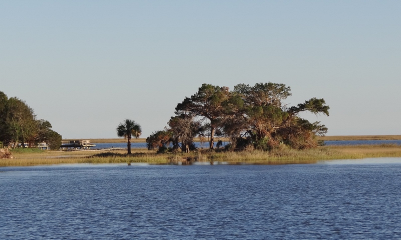
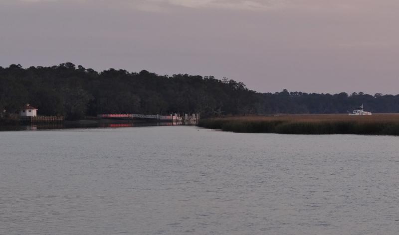
Then there’s Hell Gate; worse than the Hell Gate of the North (in New York’s East River) this one doesn’t have a current issue, but a depth one. Multiple reports of 3.7ft in spots at MLW, with much of the stretch close to 5ft. As with many of these knuckle-biter stretches (this one is very short) a tug can come through at low and push the sand/mud one way and now you have more water in one spot and less in another. We usually find more water than expected (we did this time) but I’m sure that the one time we plan on that it won’t happen.
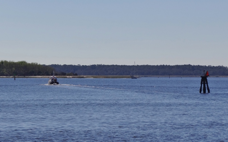
m/v Victorius enters Hell Gate; the sailboat is aground
Before Hell Gate shenanigans though we stopped for a few nights at Isle of Hope Marina on the very southern edge of Savannah. The marina’s courtesy cars (yep they have two) are available for two hours once per day per boat. We- oh you won’t believe this- found a bakery with a huge selection of donuts!! Imagine that. 🙂 Stocked up on $1 cans of coconut water at Dollar Tree- sing with me now… Gin and Coconut water :-), hit Walgreens for some sale items and to use up my points before I forgot and then our first Publix of this trip. (I mailed a postcard here too 🙂 ) Uber is the easiest and fastest way to get into Savannah and we had our first woman Uber driver.
The day before we came into Isle of Hope marina- which is really more like you scooch off the ICW’s magenta line and slide up to the long floating dock which wisely sits parallel to the current. Ok, here’s the story: The CG announced that a car had gone into the water in the Skidaway River near some boat ramp and one person was unaccounted for. Uh oh, that’s near our marina destination. We learned a car of four, all under 25yrs old, had gone into the water and three made it out. How does this happen? Ok, so it’s 1am and maybe drinking and/or drugs involved, but the launching ramp has a large parking lot. Word is they got confused. So sad. Of course, the story made the evening news.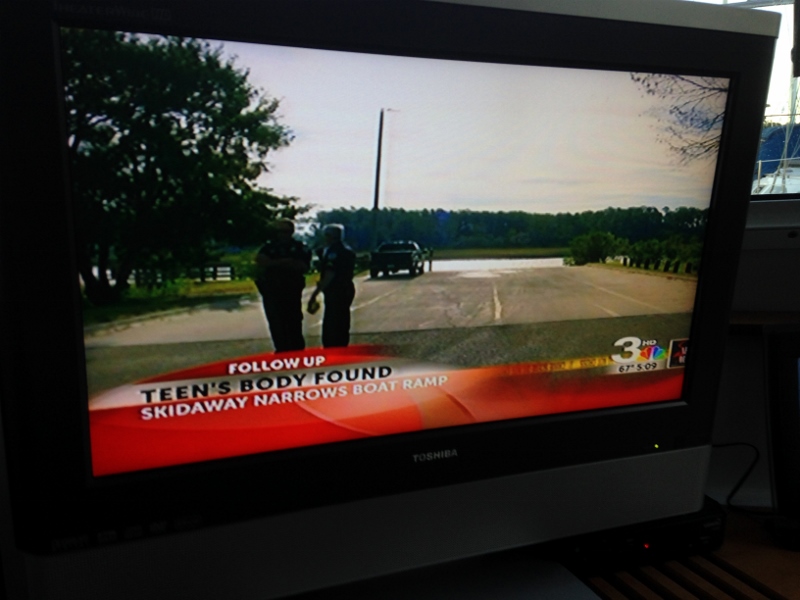
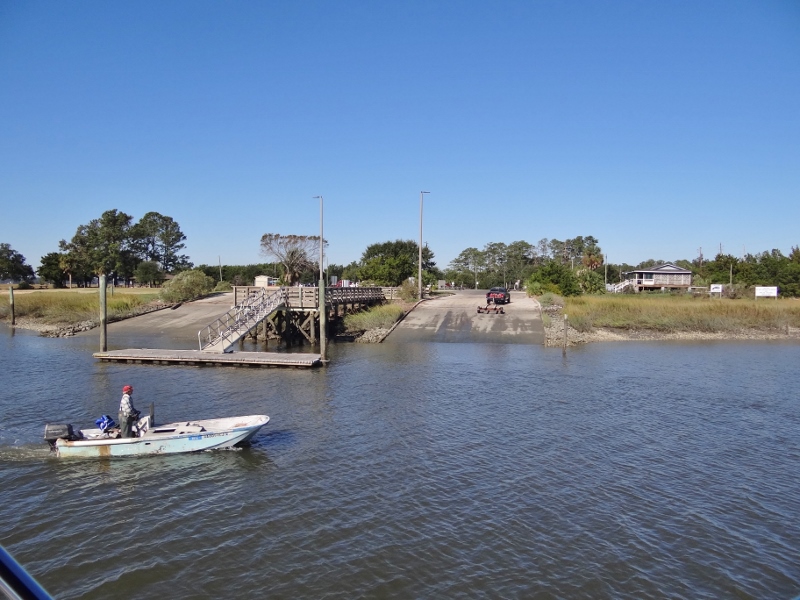
The boat ramp where a car went in and 1 of 4 in the car died
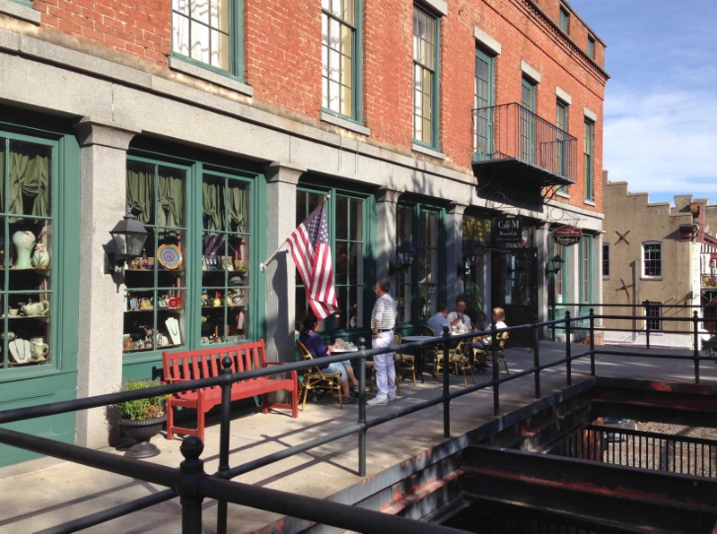
Savannah is so lovely and we didn’t do it justice but we did stroll around, popped into a few shops and delighted in fabulous homemade ice cream at Leopolds.
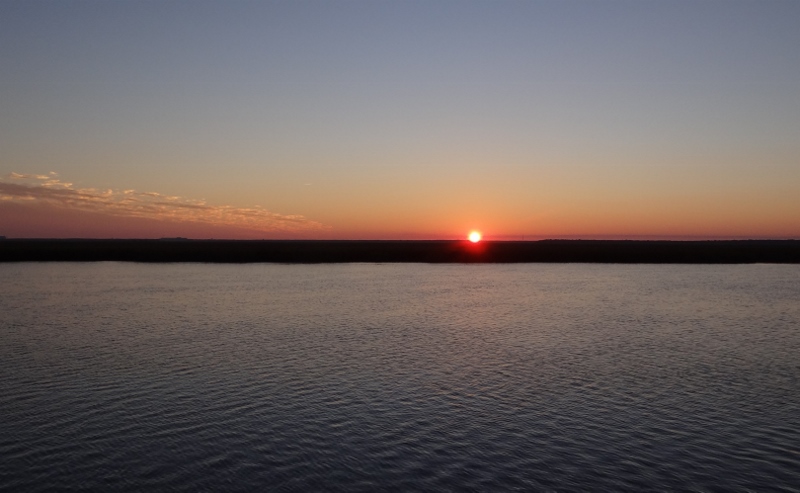
The next Georgia mindful hurdle is Little Mud River, where it’s mostly Ok but a few extra-shallow spots can ruin your day so you plan around those. The tide would be falling after 7am so we chose a creek anchorage immediately before the Little Mud River. Our sonar chart setting on the Raymarine has become our friend as it shows more up-to-date depths in greater detail than the Garmin.
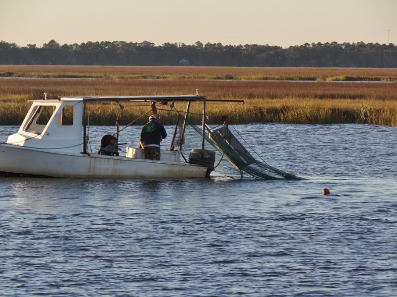
Evening shrimp haul- 100 ft from where we are anchored
A new stop for us was Brunswick Landing Marina where the fuel prices are worth a stop. We spent three nights. Laundry is free 🙂

Pam Pam Cupcakes- one of the few shops worth a stop in downtown.
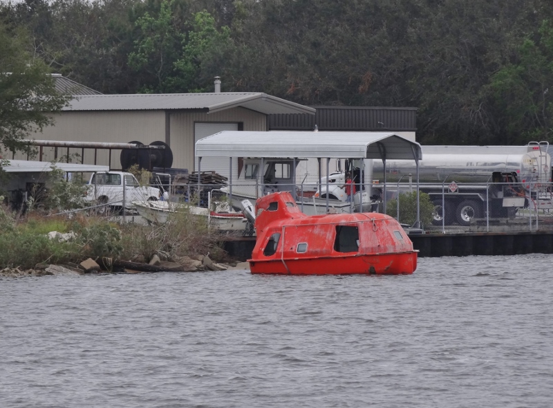
Escape Pod- another family member!
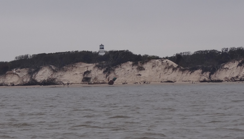
Northern tip of Little Cumberland Island- note the large green buoy on the beach.
Our final Georgia anchorage was the Brickhill River which meets up with the ICW in two places, meaning you can use it as an alternate route, with one caveat. Be very mindful of the shoal at the southern end and strongly hug the north shore or you will find a hump with barely three feet of water at low tide.
This spot is called Plum Orchard and is one of two anchorages on Cumberland Island; the southern one, Dungeness, being larger and more popular. Matthew did a number on the new dock and going ashore was not permitted right now. But Plum Orchard was open and we could walk the 2 mile trail across the island.
Higher tide- can see more of the anchored Kady Krogen
Sunset on Super Moon night at Plum Orchard
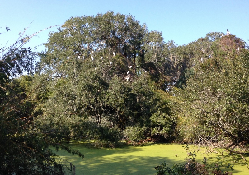
Wood Storks hanging out as we begin our walk
We’d always read that others encountered armadillos here but never did we see them. Imagine our surprise to run across one after another; some we saw, others we heard and only caught a glimpse. Must have snapped a dozen shots of this guy before he lifted his head even this much. They spend a lot of time foraging for food!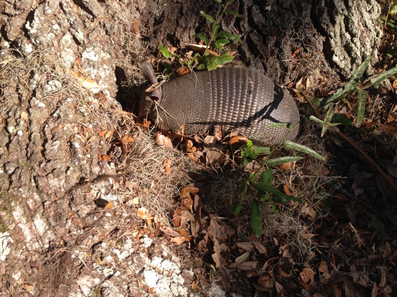
A bit further in a wide open space we came upon this one.

Gotcha! Finally lifts his head up
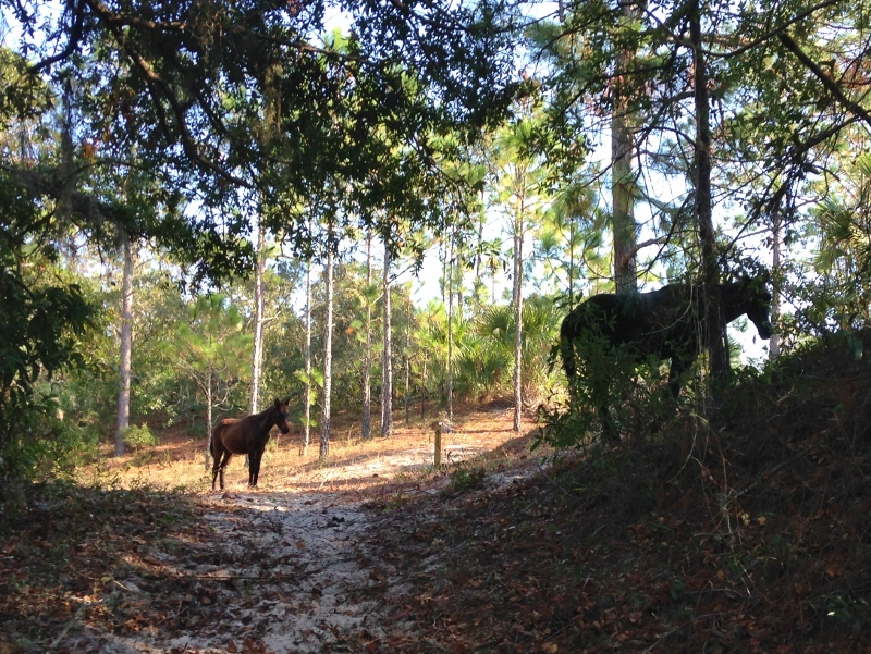
Wild Horses on Cumberland Island as we near the ocean beach
