
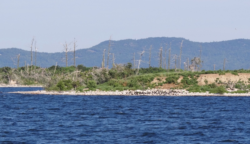
The massive qty of cormorants ruined the trees at Four Brothers, tiny islands in the middle of the Lake
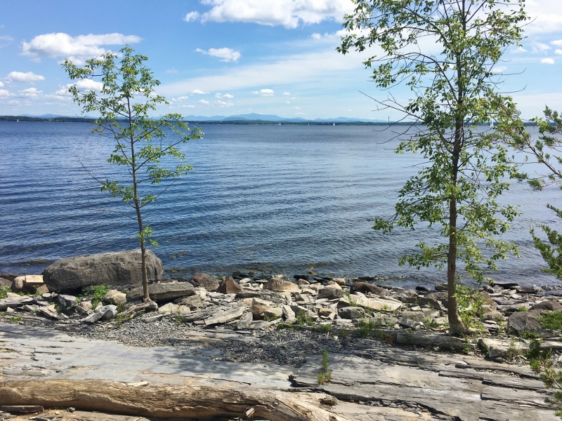
Advice given by friends Jean & Carole of m/v Apollo II and gleaned from ActiveCaptain reviews indicated that the best of the Lake was central; not much very south or very north. They also cautioned us about anchoring depth. Everywhere else we’ve been, the shallower the better; cuz why not? But in the Lake you want more depth; generally 15 ft or more, otherwise your anchor joins the massive quantities of tall weeds growing and can’t dig in well. Fresh water vs salt water. Our first lake boating experience.
Not every safe or pleasant anchorage provides shore access either. So let’s tackle the state parks to our north first to be sure we don’t miss those.
Our itinerary was Burton Island State Park (the northern-most stop), and Valcour Island (southern-most but still 22nm north of Charlotte) with whatever looked good in between, weather dependent. Monday, Aug 14- off we went.
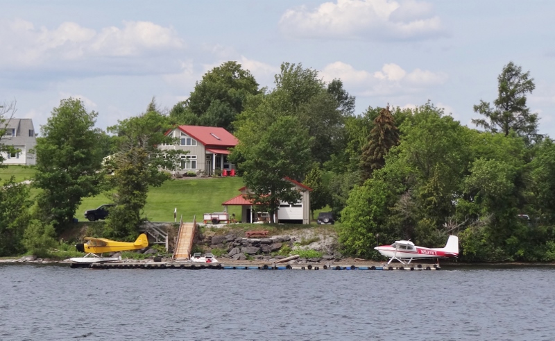
Private planes are popular. Along the Alburg Passage. This stretch is protected and straight.
I’m pretty sure that the above location as well as the entire section of Lake to the east of North Hero Island is located in Lake Champlain’s Inland Sea. Sectioned off by Grand Isle and North Hero with train tracks filling in along the way, this north-eastern portion is smaller; thus more benign in windy conditions.
As we rounded the tip of North Hero, Twins got to within six miles of the Canadian border. During the first couple of weeks Canadian flagged vessels, mostly sailboats, seemed to outnumber the home team. We feel right at home. 🙂
You may recall I’d said there wasn’t much “way up north”, but we had to go up and around the tip of North Hero (above Grand Isle aka South Hero) then back down 10 miles to get to Burton.
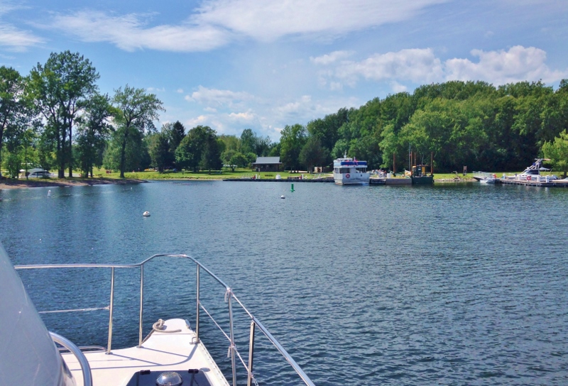
Burton Island is up north off St Albans, laying off the SW tip of St Alban’s Point. It is only accessible by boat; visitors can come in their own vessel or take the Island Runner passenger ferry from Kill Kare State Park, a very short ride. The island had a long agricultural history before Sidney Burton built a camp in 1902. Future owners sold the island to the State of Vermont in 1962 and Burton Island State Park opened in 1964.
Burton offers lean-to shelters, tent sites, a marina with 100 slips and 15 moorings, free pump out with marina stay, a store, walking trails and more. It’s just lovely. Moorings are charged not a fixed price but by boat length. This is when we are happy to be “small.”
Burton Island State Park, the Island runner ferry
Walking trails called out. I think we ended up walking most of them.
Any guesses what I am looking for? Not donuts 🙂
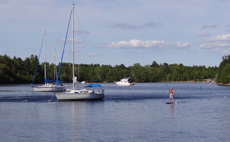
We like to look at, admire and wonder about when we spot interesting boats. Don’t you?

Near St Albans and Burton Island State Park- as seen from our mooring
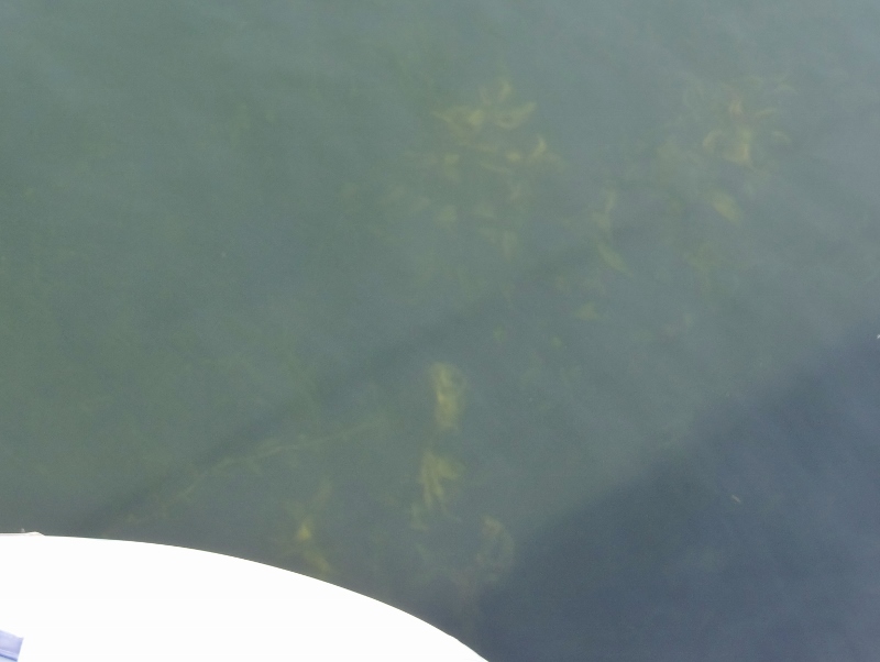
At the boat, in 8ft- can see the weed forest very, clearly their tops brush the water’s surface.
Tuesday we got a pump out, exchanged a couple of books then retraced our path as far as Pelots Bay. This medium-sized bay offers protection from all directions except north. It’s a thumb indent in the top half of the south part of North Hero Island. Got that?
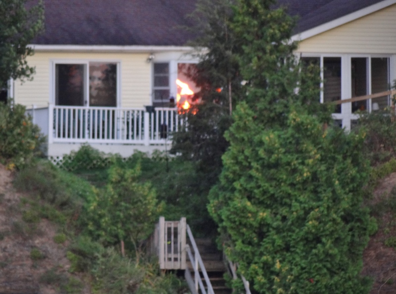
Fire inside or the sunset reflection?
We had two choices for our next stop and I think we chose well with Deep Bay at Point Au Roche State Park on the New York shore. See? French influence again, oui?
This wonderful mooring field holds at least 40 moorings, all easy to retrieve and generously spaced. Around 6pm someone will come out to collect the mooring fee: $17 if NY State resident and add $5 if you are not.
Perfect paddle spot at Deep Bay Point Au Roche State Park
The park offered more trails than we could do in a day so we chose the ones that were close to the shoreline, for the best views and a way to choose!
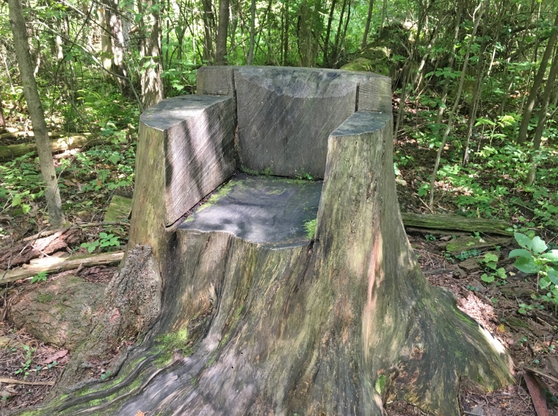
Sit a spell. Point Au Roche State Park
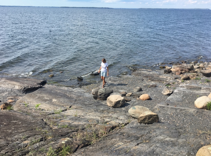
Very similar to Maine. We’d observed this quite a bit north of Crown Point
You know about Champ, right? Don’t think we spotted the dude; not that we looked much. The water not being the sort of “clear” we are used to. But hey, maybe we need to dive down and look some time.

Our search has ended! We found Champ
Valcour Island held a bit of fascination and trepidation for me. Imagine being in the same waters as a historic U.S. Naval battle? Epic I tell you. We’d read plenty of ActiveCaptain reviews about how the west side of Valcour offered protected anchoring north and south of Bluff Point. The 2 mile long island sits close to the New York shore and all shapes and sizes of vessels can easily pop over. Stern to the beach anchoring is popular with locals.
The nervous part came about when I saw a posting on FB from a boater who reported a boat fire near Bluff Point. No one was injured in the severe blaze but hey I felt nervous; silly I know. But I’m nervous about Irma too and we are more than 1200 miles away. Concerned for everyone and everything in her wide path. Beginning to wonder about Jose too.
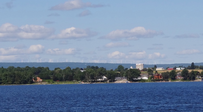
See all the wind vanes on the mountain ridge?
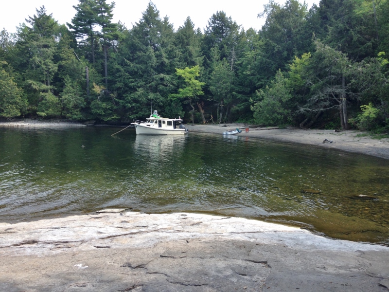
The trip down from Deep Bay was a bit rough as we motored into wind and waves, but very calm as we tucked behind Valcour and dropped the hook in 20 ft north of Bluff Point.
Island History: First spotted by Samuel de Champlain in 1609. The French named it “Ile de Valcours”, or Island of Pines. The British, being a bit more knowledge but more boring, called it “Almost One Rock” for the mass of underlying limestone. Happy it ended up as Valcour Island.
Valcour is, as I mentioned above, the site of one of the first major naval battles of the Revolutionary War. A dozen “gunboat battle ships” led by Benedict Arnold used Valcour as a cover and fought bravely for six hours only to raise the white flag in the end. However, fog at night can be a friend and what remained of the fleet slipped away undetected.
Today, the island is a state park and the site of the state’s (the entire state of New York mind you) largest heron rookery.
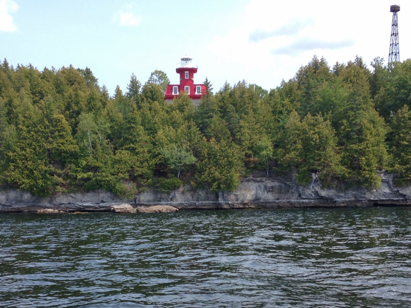
Valcour Island Lighthouse on Bluff Point
We took the dinghy past the lighthouse to the small protected indent south of Bluff Point. There, the trail was close and we picked it up for a trek south, around the southern tip to the eastern side then back across at the island’s midpoint.
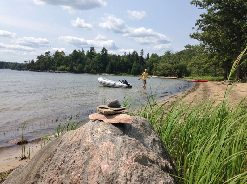
Dinghy in, two anchors. And a cairn. Empty now, but much busier later.
The park offers a handful of camp sites, with water views and nearby outhouses. The eastern side (facing the Lake) offers a few tiny coves.
Tiny cove. Might have been named Smugglers Cove. Got that Maine feel goin’
A better find was the Seton House. Built by Henry Seton (or Seaton) in 1929 and sold to NY in 1973, it stands sturdily with an exceptional slate roof, a pump house, steps leading down to a huge concrete dock that has a small bend at the end of it to provide add’l wave protection.
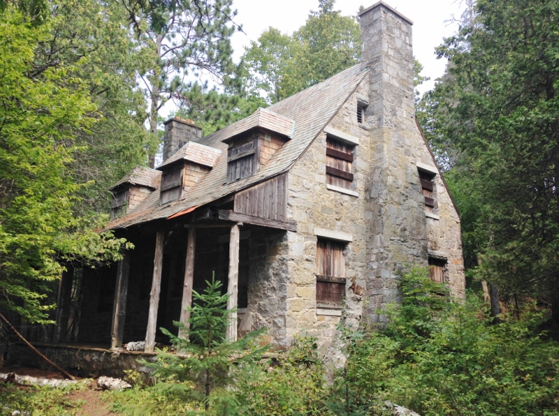
Seton Stone house built 1929
Today the dock is used by Park employees. So let’s see; people occupying a house in the days of glass containers…ummmm. Oh yes, a handful of lake glass we did find, right there in the small stones at the shoreline. Not as smoothed as sea glass but several pieces are definitely pre-1950s.
We zoomed back to home base mooring ball to get tucked in (if you can call it that) for the crappy weather promised for Friday. The weekend forecast was quite good; yes we had plans!
