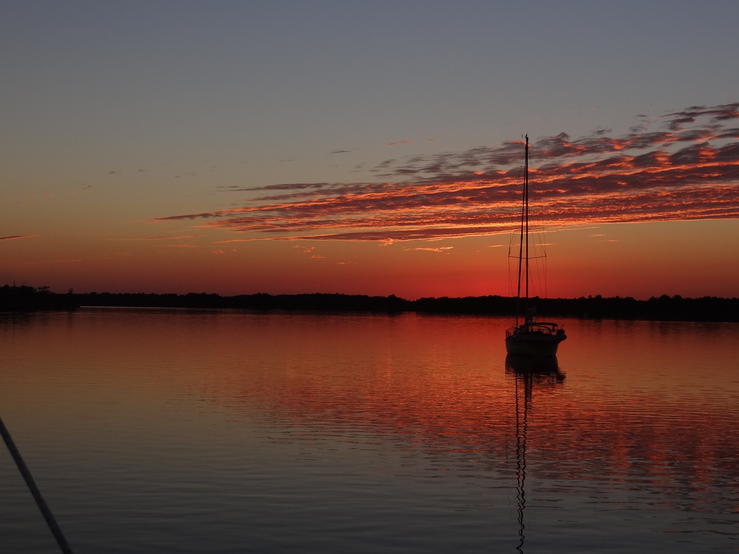
Heading west with Hog Cay off to the right
“Be Prepared”. The wise Boy Scout motto applies also to cruisers, travelers, and just about everyone alive I guess. When cruising outside the U.S. or Canada which for us means, “in the Bahamas”, one must think two steps ahead of today’s needs and desires. Chances are the ONE time you don’t plan ahead will be the one time you end up SOL, or close enough for a stinky whiff.
This little ditty is about our intrepid cruisers, Russ and Lori, aboard s/v Ortolan, accompanied by water taxi m/v Bunting, as they take a chance and make it happen further south than they’ve ever ventured before.
Sunday and the 8:30am cruisers’ Net compliments of Mike, not only with weather and local events but always ends on a happy note with a great joke or funny story. After the weather checking ritual is complete and with at least four days of favorable winds and NO cold front predicted, the captain proposes a short trip down to the northern Jumentos. Time enough to stop at Water Cay and Flamingo Cay… and we know there be lobsters in those waters just waiting to jump in your dinghy.
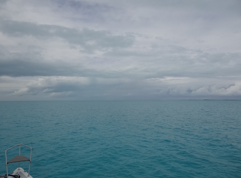
So, you didn’t get those extra food items at the market yesterday, no cell service to get updated weather and the propane is dangerously low, but hey we can motor-sail and make water on the way. Me thinks that with half the boats having already departed for “somewhere” perhaps the captain felt a tad competitive …. I’m just saying. At 9:40 the 44nm trip to Water Cay commences. The first 15nm is heading back west toward the back side of White Cay and Hog Cay (not the Hog Cay on Long Island) which sit at the tip of the Exuma chain. At the Comer West way point hang a left to head SW toward the Jumentos Cays. The forecast was sun and clouds with rain showers likely. True enough, although more rain was seen off in the distance than rinsed the boat.
The Explorer Chart book has this to say about the Jumentos Cays and Ragged Islands: “Self-reliance is essential… go with plenty of food, water, fuel, medicines and weather-reporting equipment…there are no marinas, no BASRA help, little fresh water and few supplies…ocean swells come around the cays.. the only settlement is tiny Duncan Town with a population around 100.”
If that’s not enough to alarm even experienced cruisers then what would? So why come here? Pristine remoteness, abundant coral reefs, great shelling and well, lobsters. A bit of adventure just to prove you are not simply another chicken in the harbor.
Water Cay is the first place suitable to anchor and when we arrived at 4:20 two cats were anchored with just enough room for us. Virtually no ocean swell and the following day was odd as the wind was low and variable.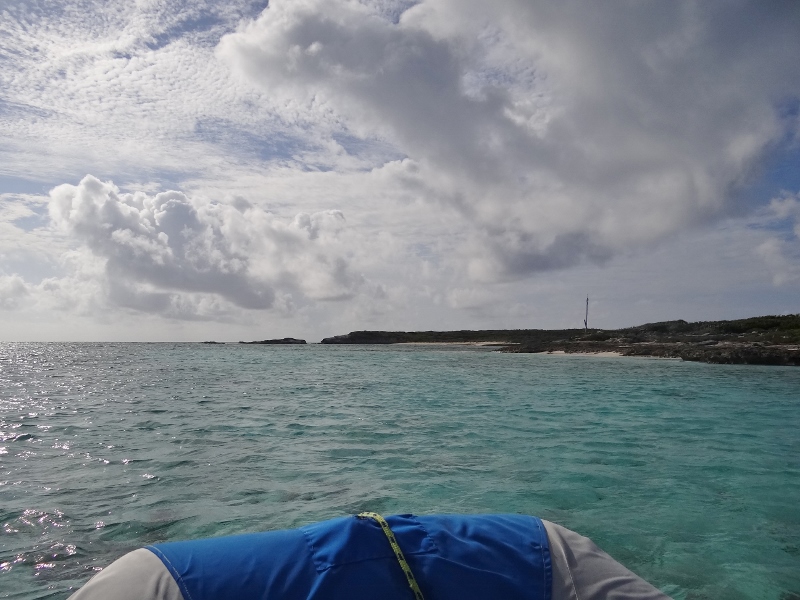
The next morning the exploration began in earnest. First, we headed toward Little Water Cay which sits just above Water Cay with approx 1/10 mile of water separating the two. Low tide prevented a beach landing and a large swell kept us off a sandy spot further up. 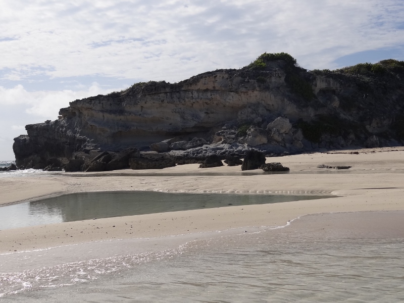
So we turned south to check out the cut through the island and low tide proved to be a blessing for landing the dinghy.
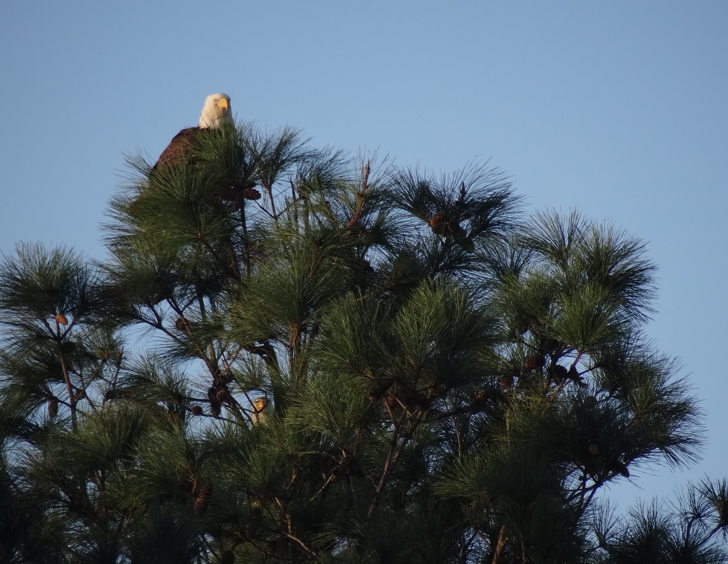
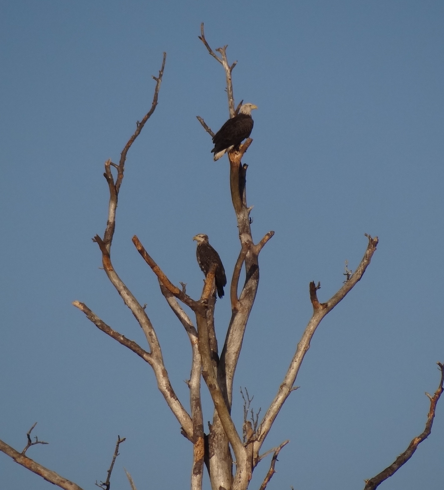
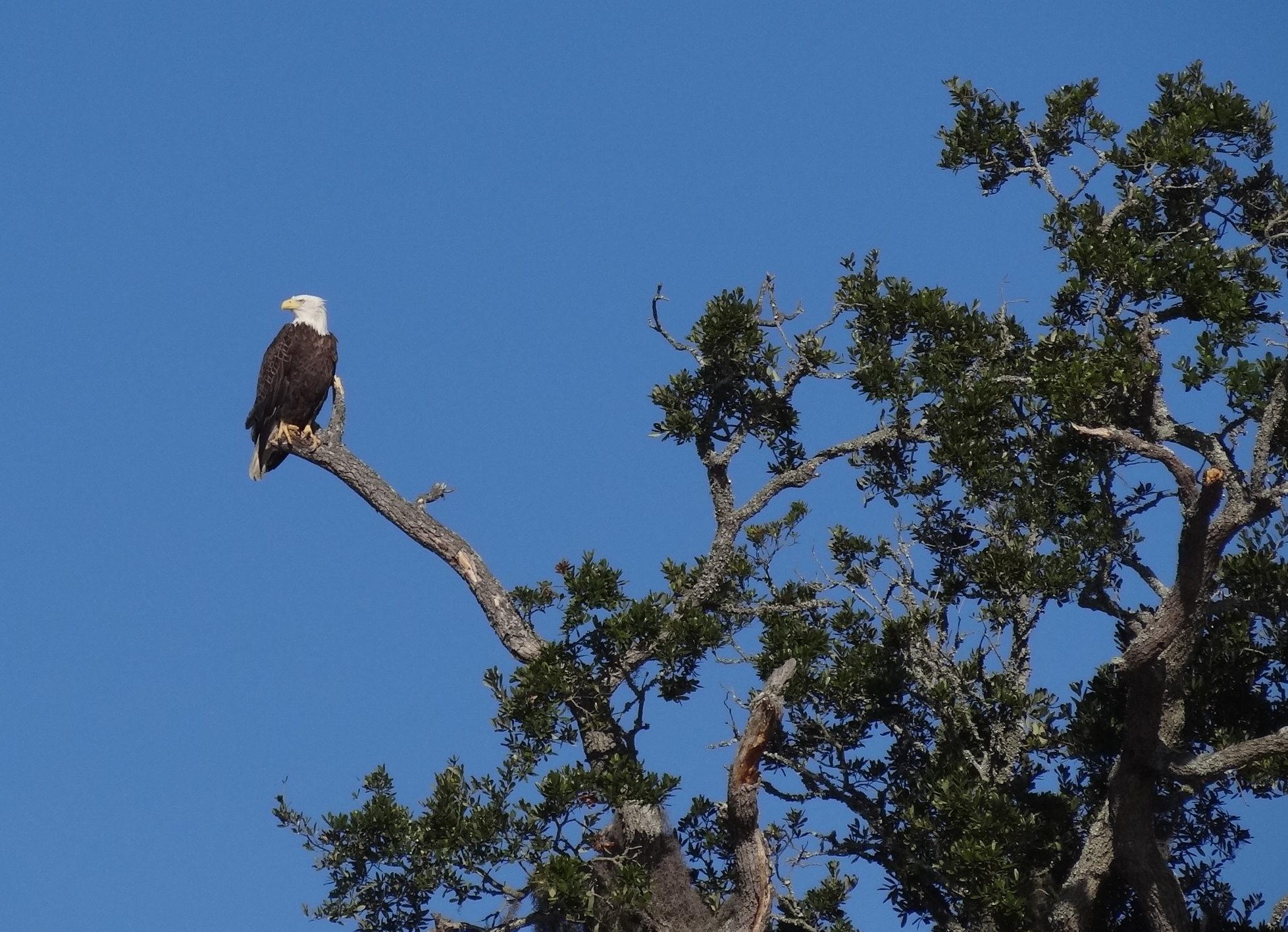
The distinctive cry of osprey caught our attention; sure enough two osprey ruled their territory and became very unhappy that we’d invaded their space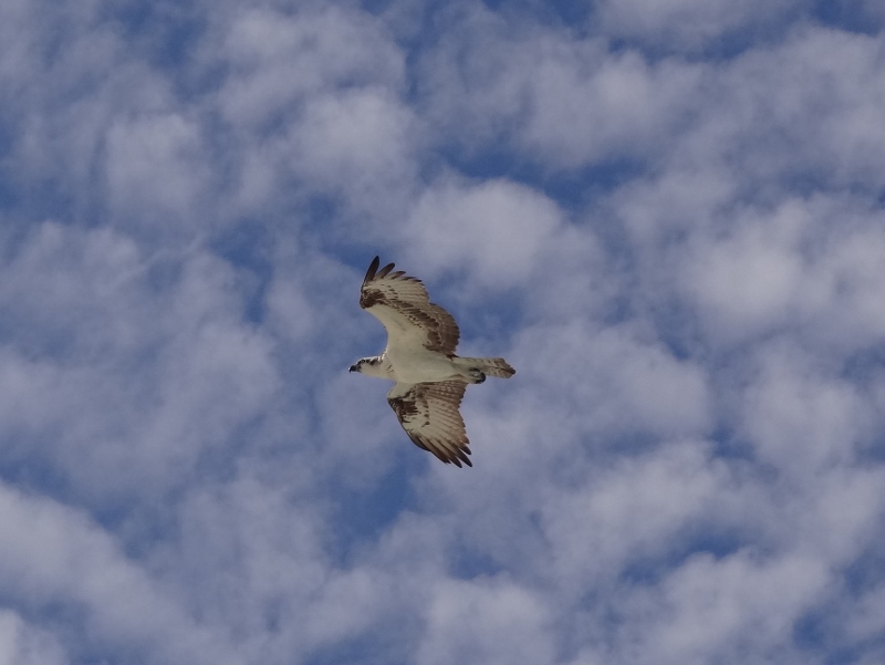
I took this photo as the angry osprey was intent on forcing us away from his home. They both flew over us, at times quite close. We read the message loud and clear; good thing the shells were on the beach further away from the nest.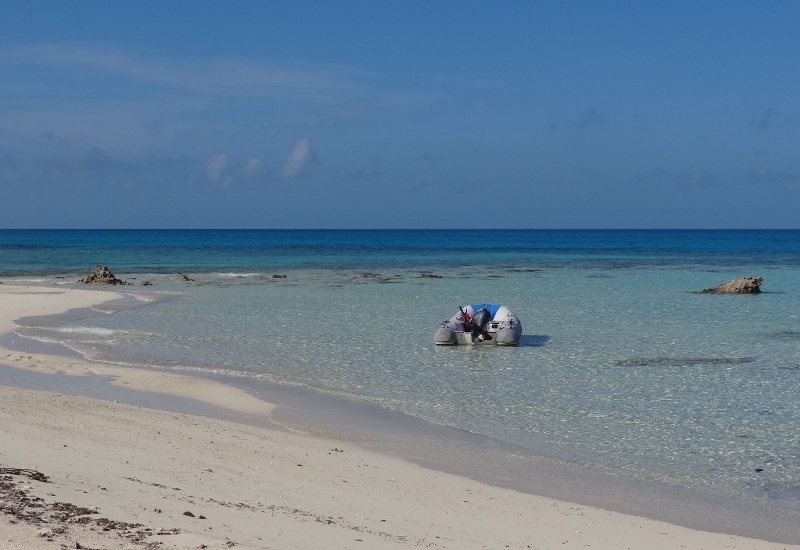
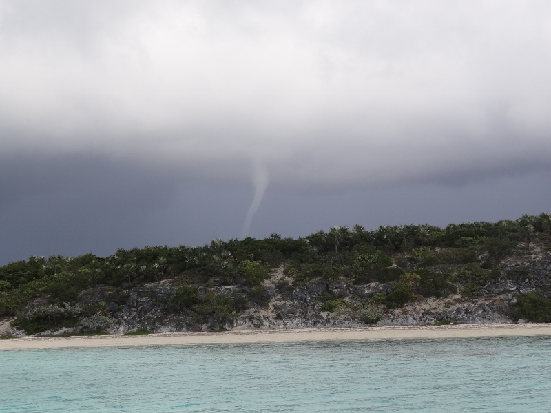
So much for a favorable forecast. Silly us to believe that “sun” meant “no rain” and certainly no waterspouts!! Shortly after lunch we saw this one about 5nm to our east, moving north.
Two minutes later it had diminished and we all breathed a huge sigh of relief. Right as we spotted the spout (the most fully formed one we’d ever seen) another cat was heading into the area from the south. “Catamarans at Water Cay, water-spout warning” boomed the Scottish voice from s/v Sam the Skull (isn’t that a great name?) We acknowledged and assured them the spout was heading north (not west toward us).
A short time later, the sky not making any promises, we jumped in our water taxi to check out further south along Water Cay. Not much to see, just an old fishing trawler wrecked up against the rocks, not even in enough water to make a good fish haven. As we turned back, guess what was visible between the island’s small hills? Wouldn’t you know it- another spout- this one closer and way more menacing. Zooming as fast as our puny 8HP outboard (with duo fins assist) could go, we covered the mile+ quickly stopping to warn Sam the Skull who was lobster hunting and had no way to see the spout. As fast as we moved, he beat us to his boat and raised his dinghy.
Oh boy, at this point I’m wondering do we raise anchor and move? If our Scottish friend does, do we? If a hard-core cruiser is worried, then I am too. Because of our nearness to shore, the spout was too close to see but we checked the radar to confirm it was indeed less than two miles away, heading north. I guess spouts travel in a straight line pretty much, plus we had land between the anchored boats and the spout. Positive thinking anyway.