Every island, no matter the latitude, possess an aura and allure that the mainland can’t quite compete with. Block is no exception; exploration, recreation, entertainment (even in the anchorage), beaches, shopping, food of all kinds- all to tempt you and keep you coming back for more. Over the years we’ve seen quite a bit of the island on foot, bike or taxi and this time I really wanted to get back out to the lighthouses and see more of the island. Block covers approx. 11 sq miles or 7,000 acres (including the Great Salt Pond); roughly half the land is preserved space. It’s easy to forget that Block Island offers more than a shop-filled main street that looks out over the ocean with unobstructed views to the horizon.
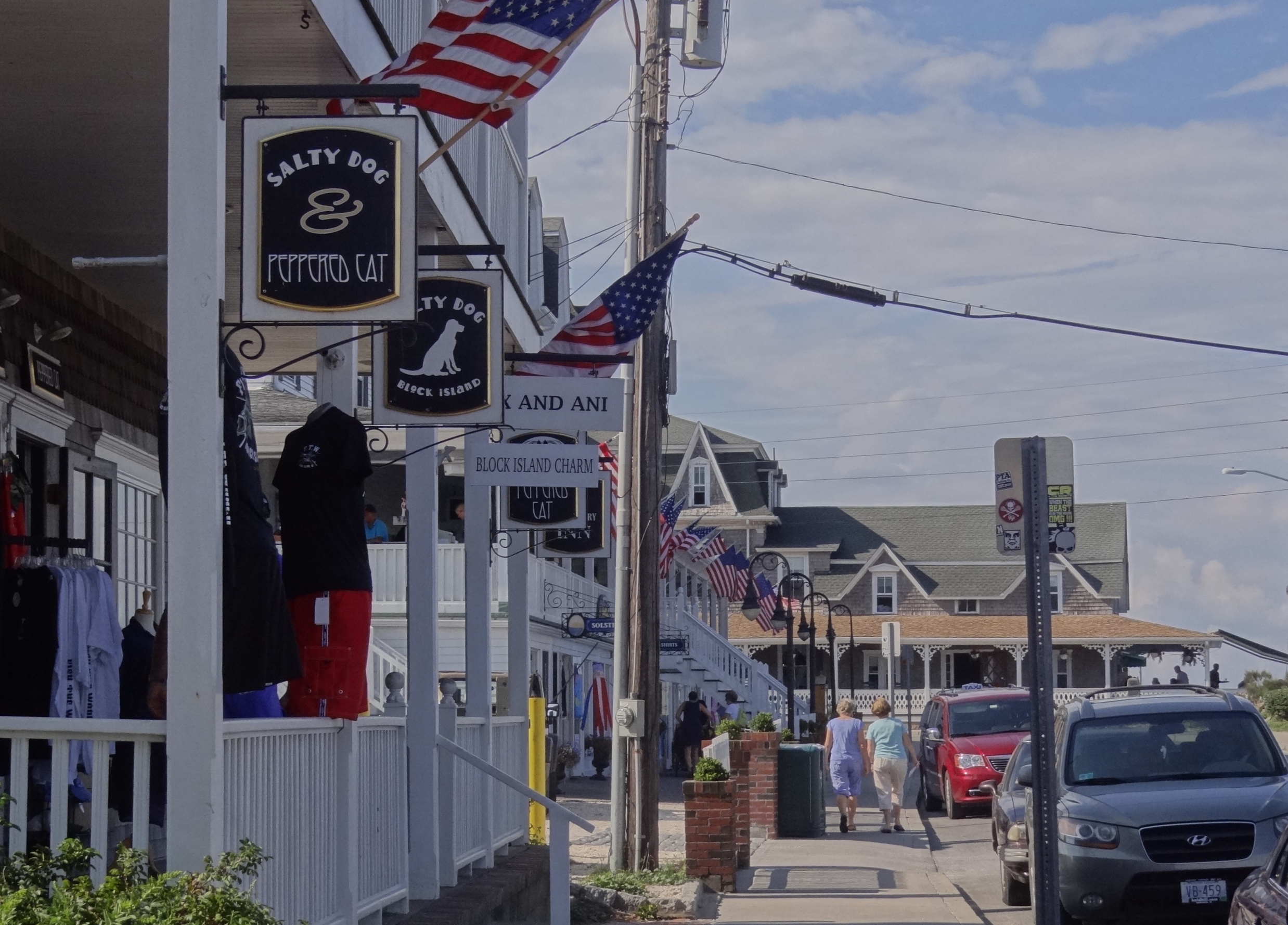
Water St in Old Harbor- Surf Hotel in background
Shopping was not on my list and since I was obviously ill :-), Russ agreed to rent a Jeep for our island tour ( I also played the “birthday week” card). – side and rear panels removed. We began by driving up Corn Neck Rd to the North Light.
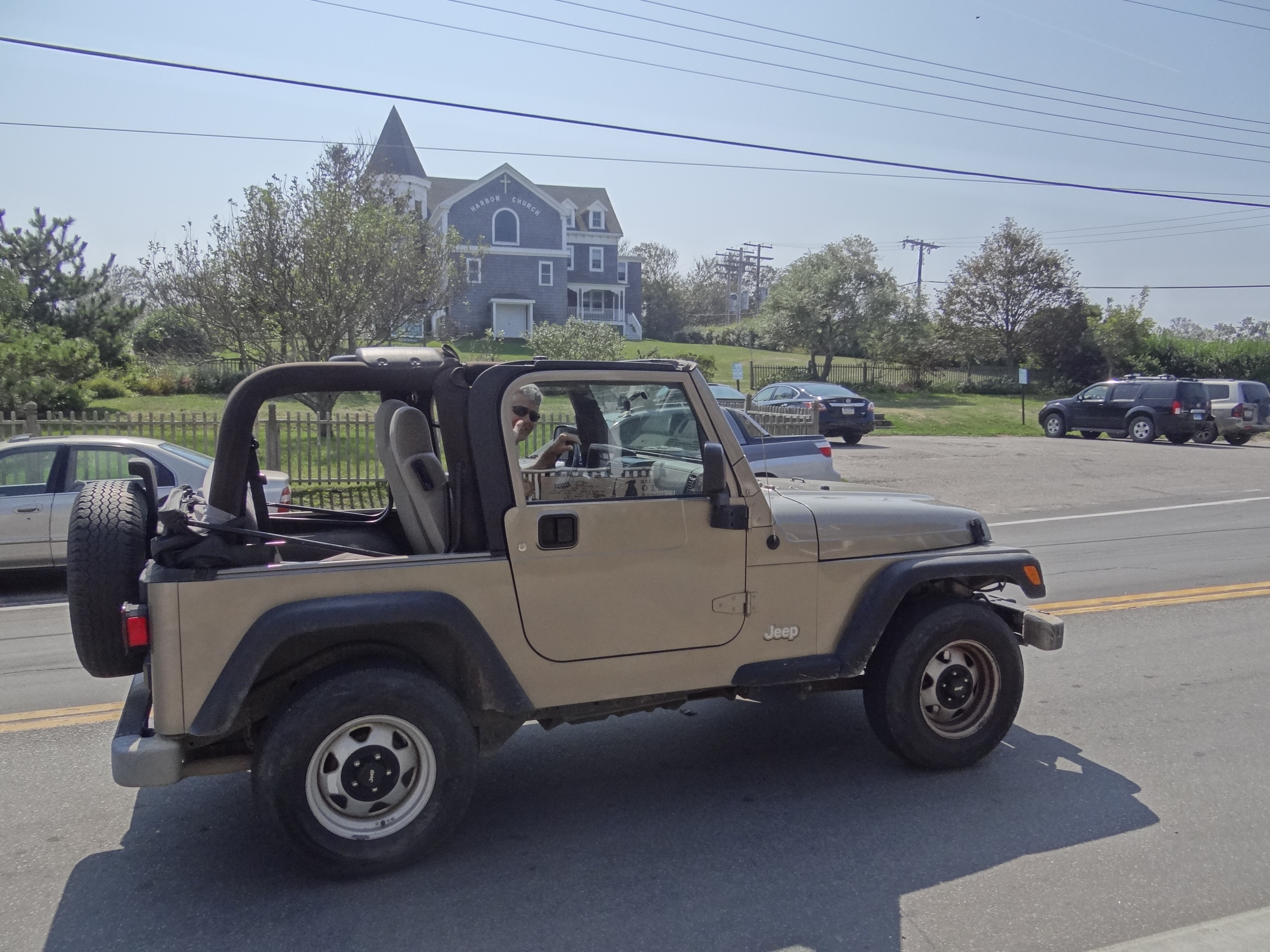
Hey-Going my way?
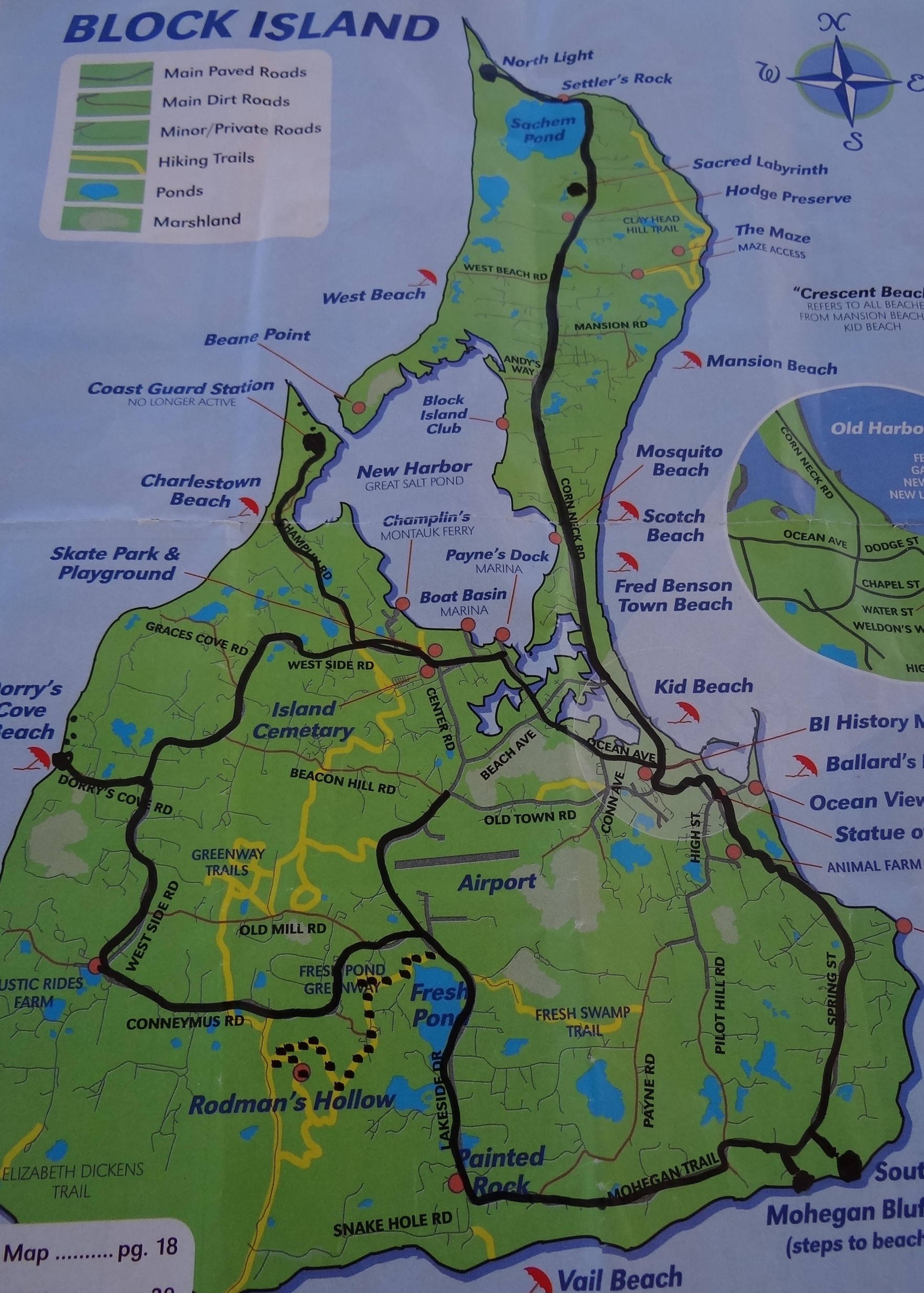
Our route is darkened, black dots show our stops
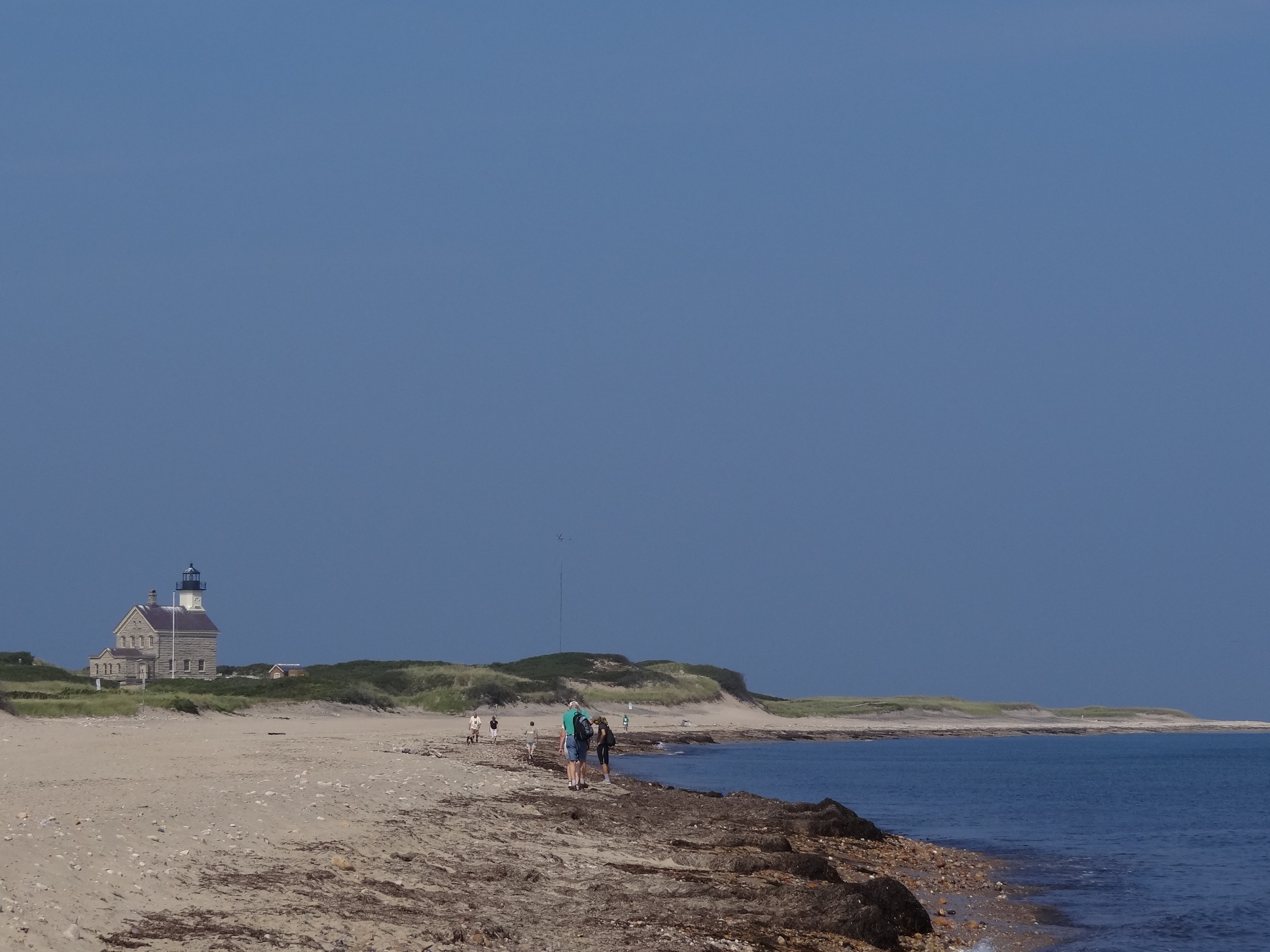
North Light: a 1/2 mile walk from the parking lot and not open during the week.
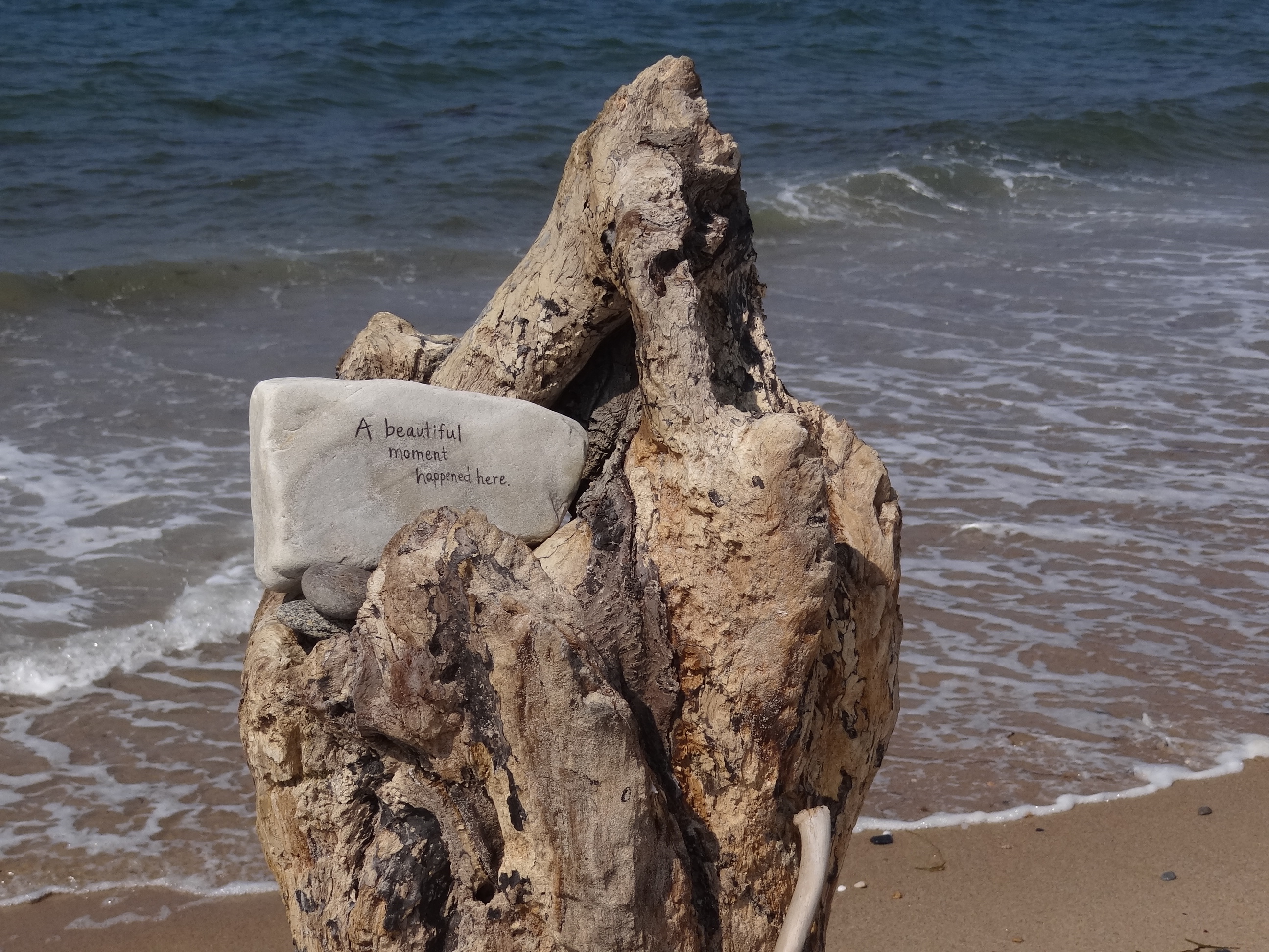
An event is recorded – for us to wonder and for nature to reclaim one day
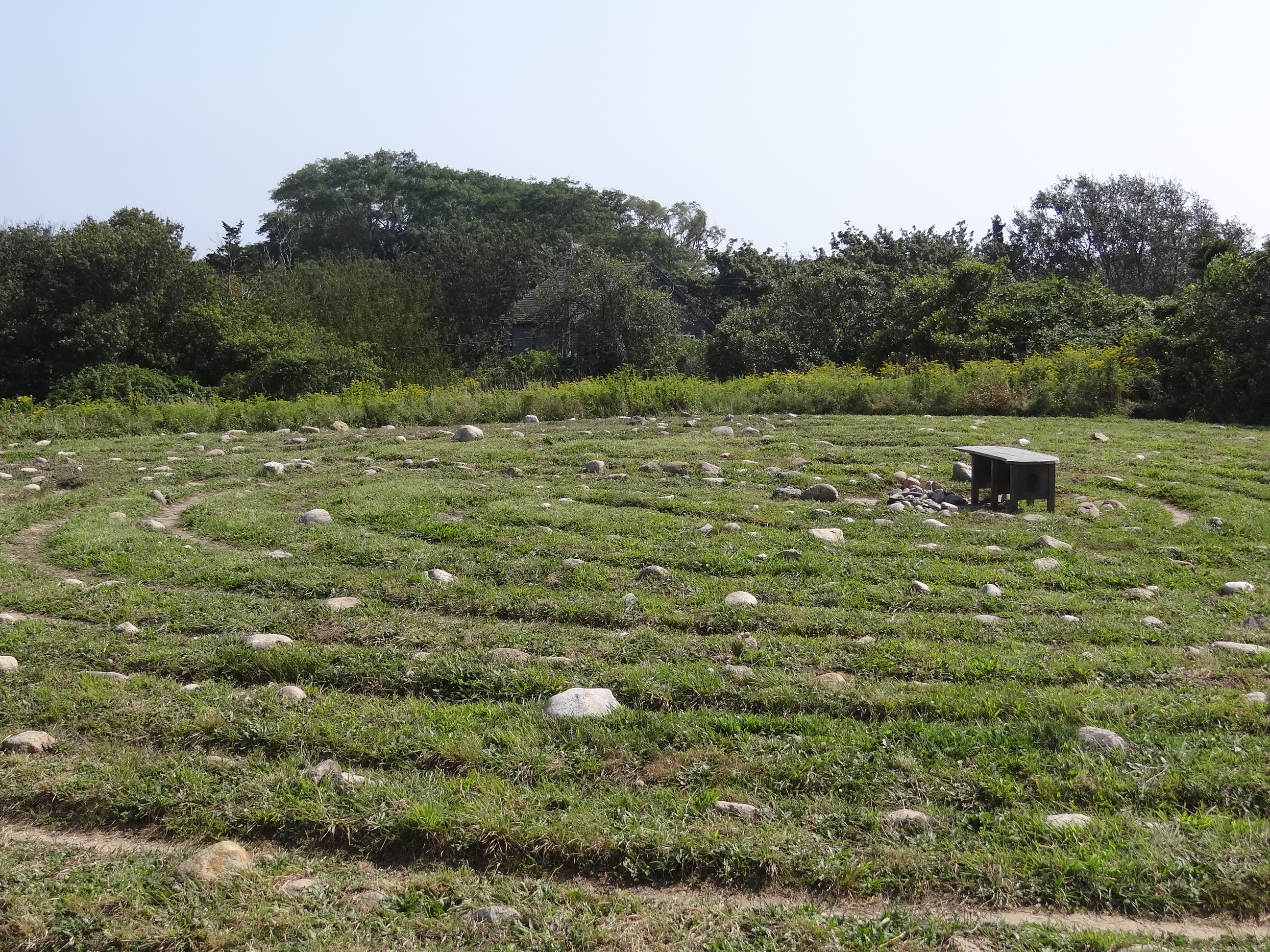
The Sacred Labyrinth
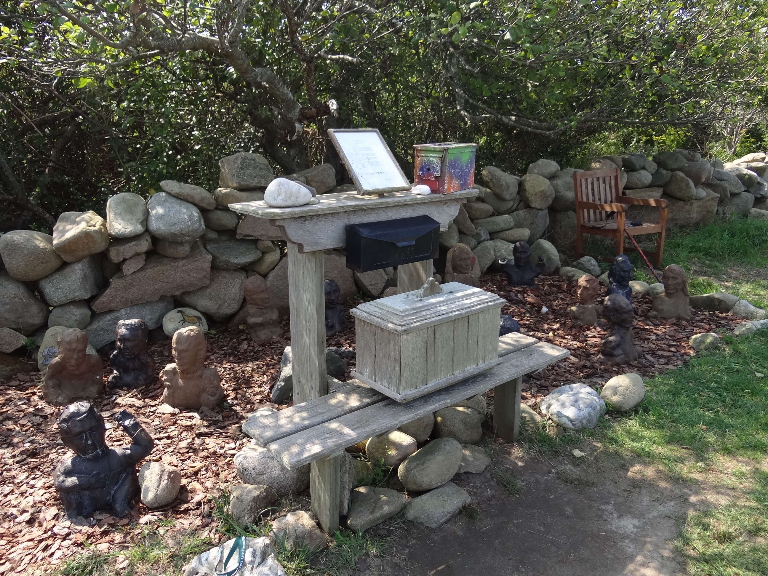
A display of labyrinth-related items including a journal kept in the box on the lower shelf
The sacred labyrinth is made from small stones and has a beautiful view of the North Light and Sachem Pond. A single winding path leads to the center and back out. Walking the labyrinth is a universal ritual that has remained unchanged for thousands of years. Often believed to heal body and soul; I must agree, as simply being near it cured me of my no-shopping illness.
We skipped The Maze, but later read it is a “must-do”.
We zoomed south past the beaches on Corn Neck Rd, fortified ourselves with a quick outdoor lunch and a T-shirt purchase for Russ ( see? bet he’s glad I got cured), then headed up Spring St toward the Southeast Lighthouse and the breathtaking Mohegan Bluffs.
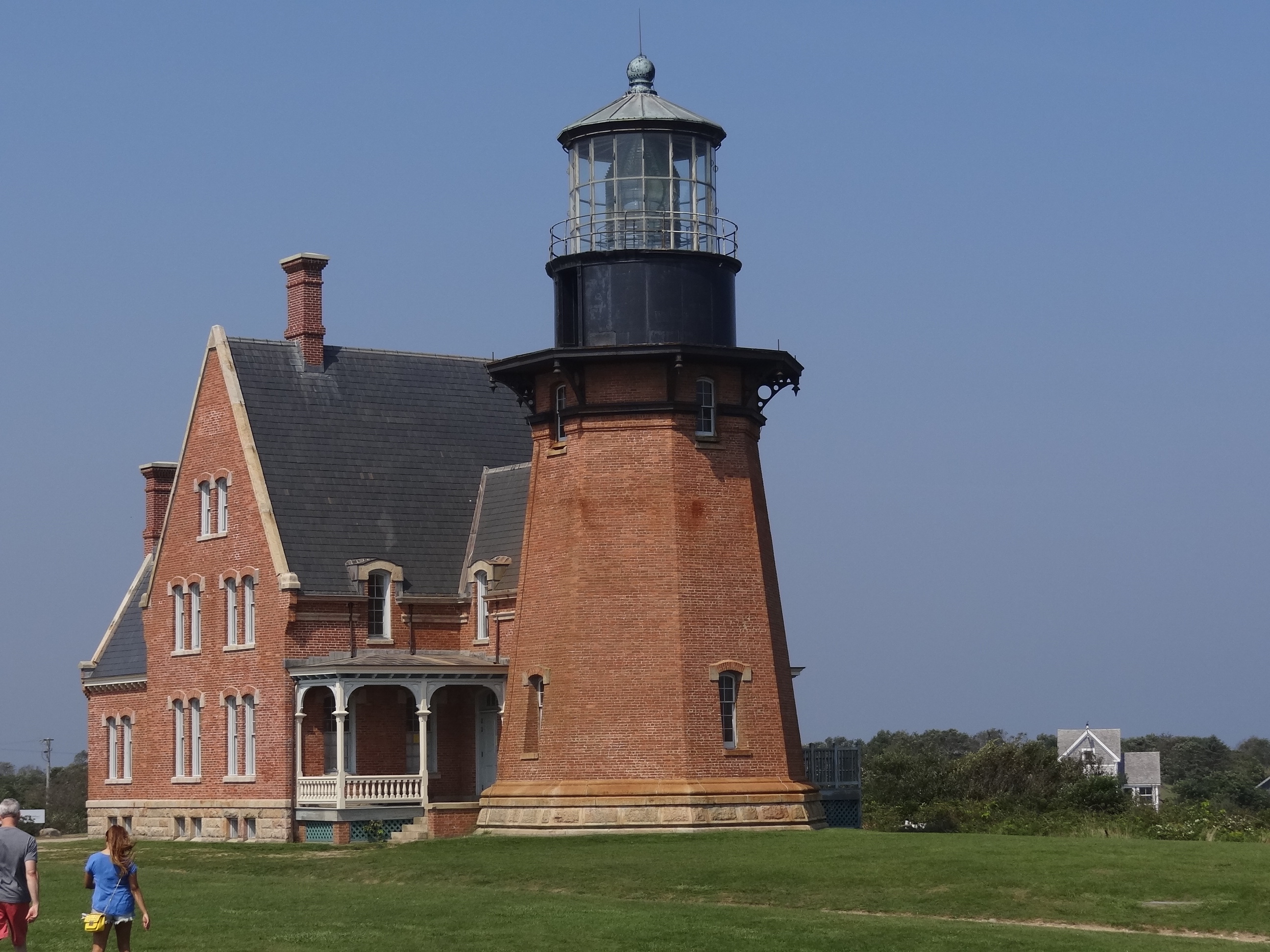
Looking at Southeast Light from the edge of the bluff
A lighthouse on the move; in 1994 it was moved back about 500ft as constant bluff erosion was going to eventually topple this grand structure into the rocky shore below.
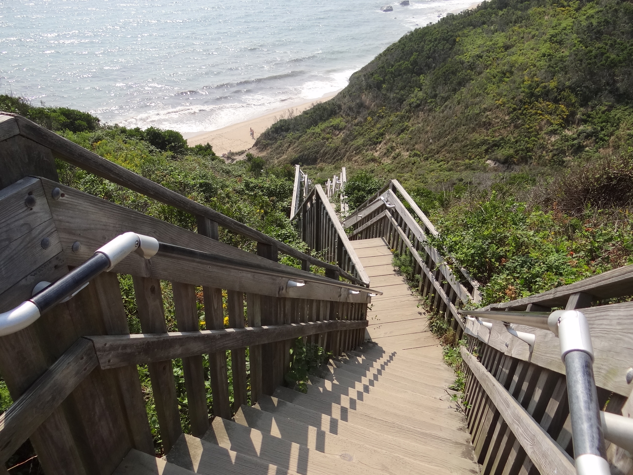
Looking down the more than 120 steps to the beach at Mohegan Bluffs
Just past the lighthouse is access to the beach far below. At one time the steps ended right at the beach but storms destroyed the lowest section and someone must have said, “why bother to replace it, people can use a rope.” I stayed on the landing with the camera and Russ hit the beach for close-ups on the field of cairns piled everywhere. Forget bluffs, this was more like Dune. Free transport to a sci-fi planet.
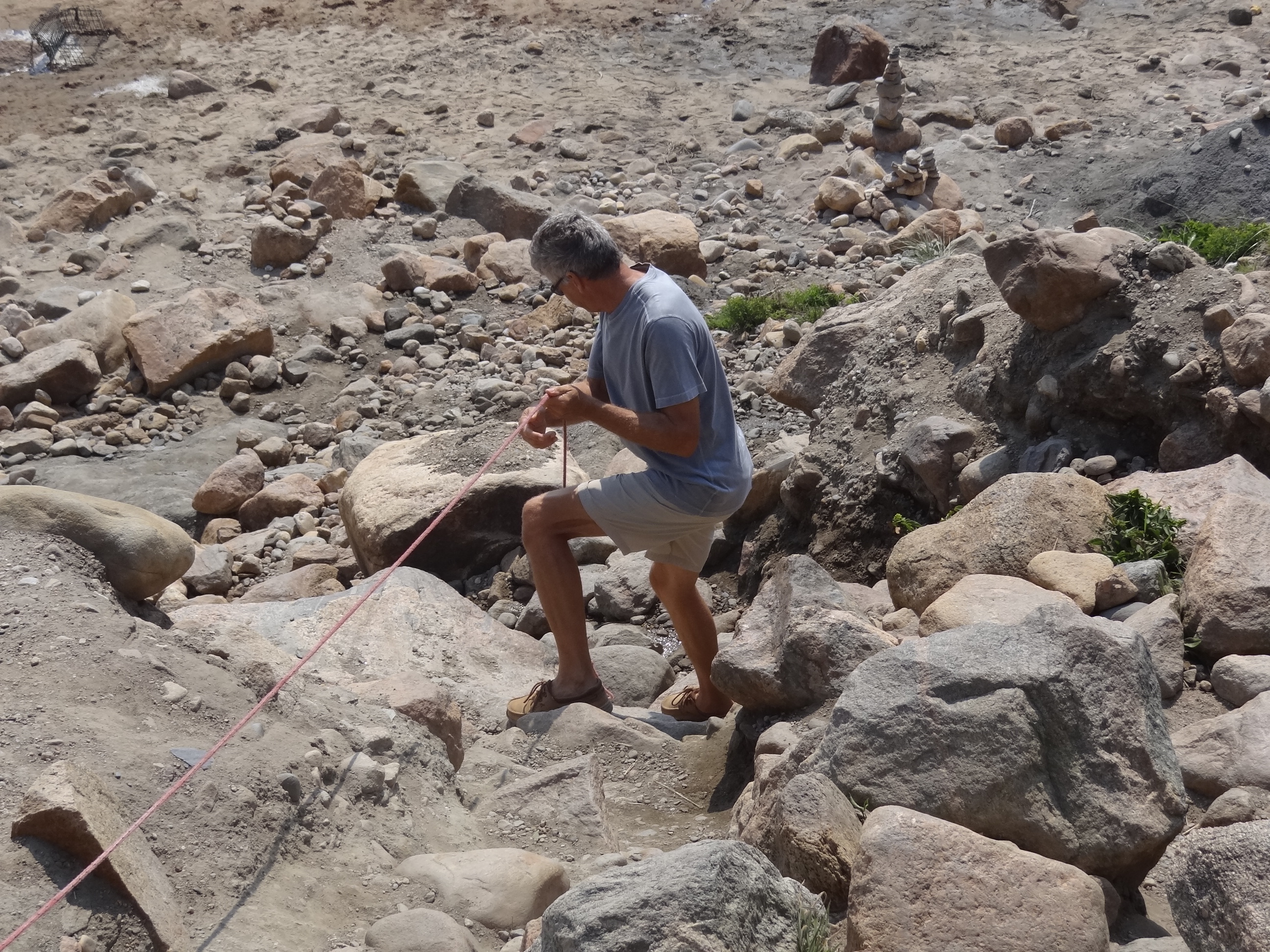
Russ makes the final descent to the beach
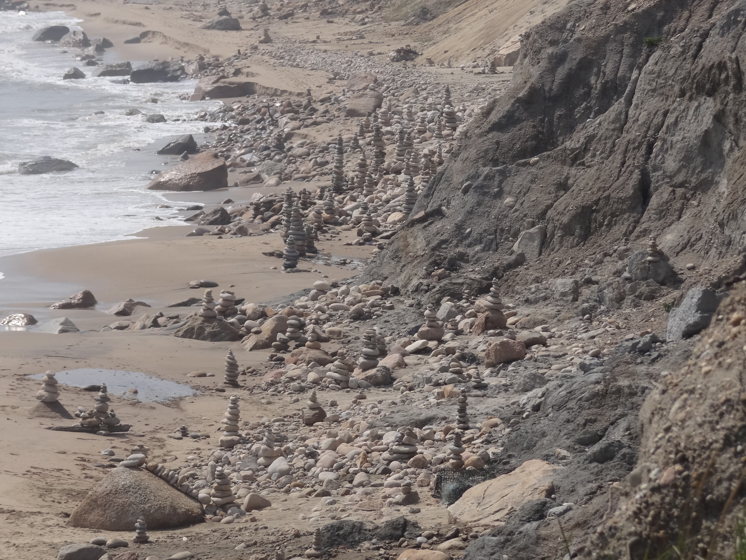
Cairns piled across the beach
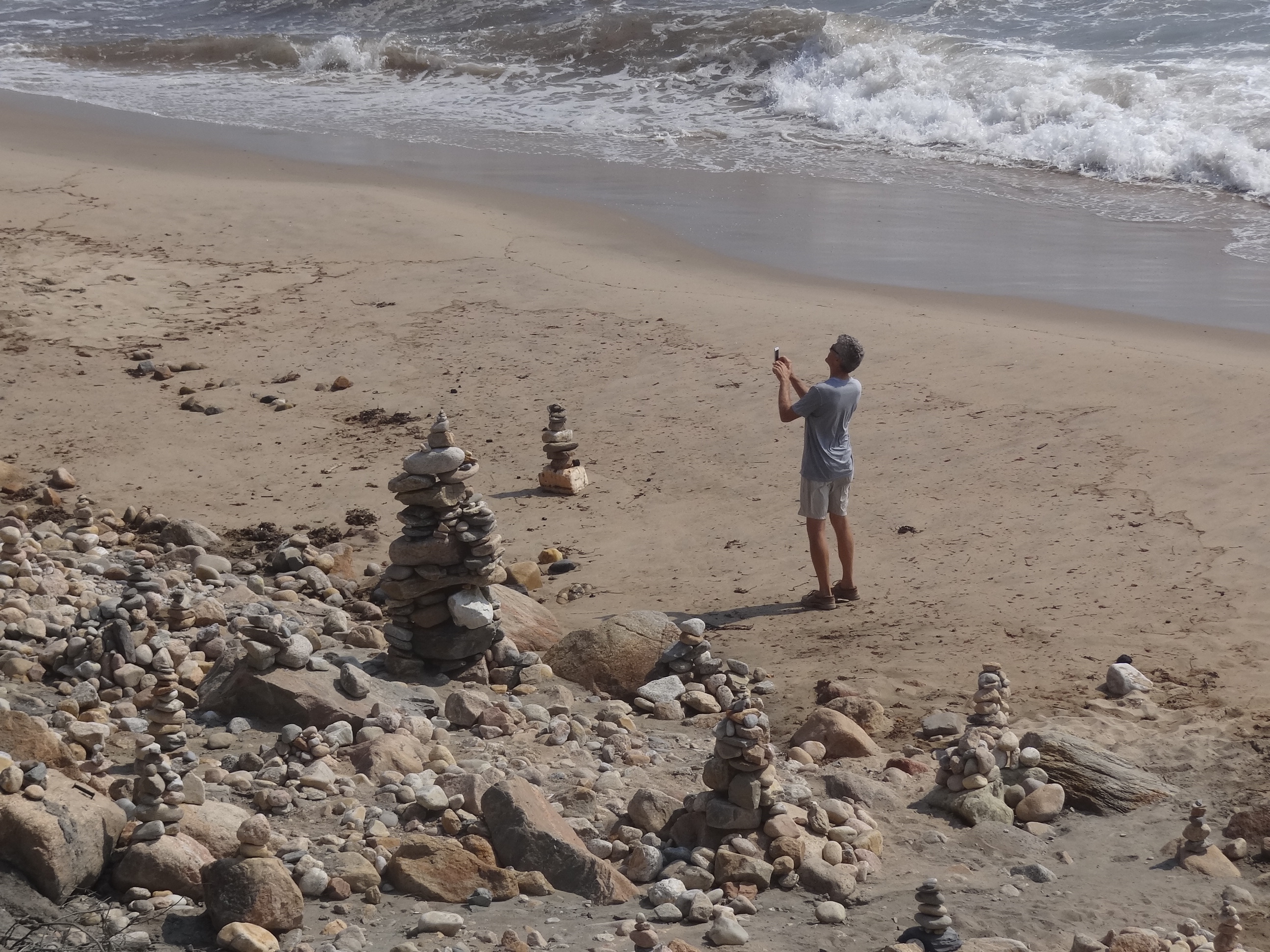
Russ snaps close-ups with the trusty iPhone
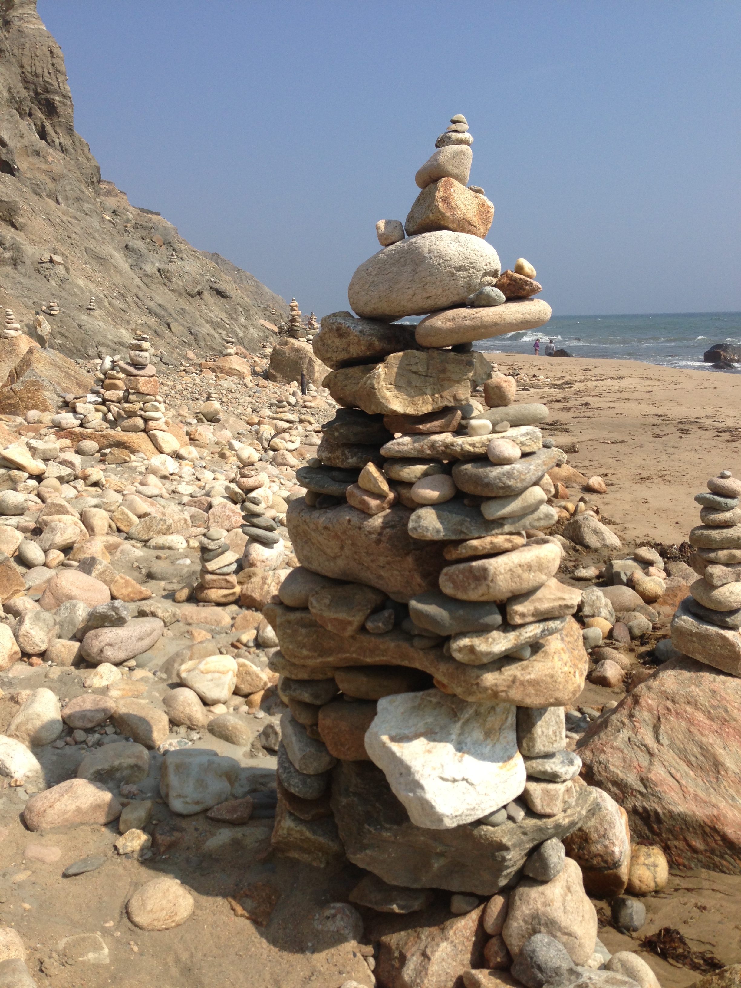
Close-up of a tall one
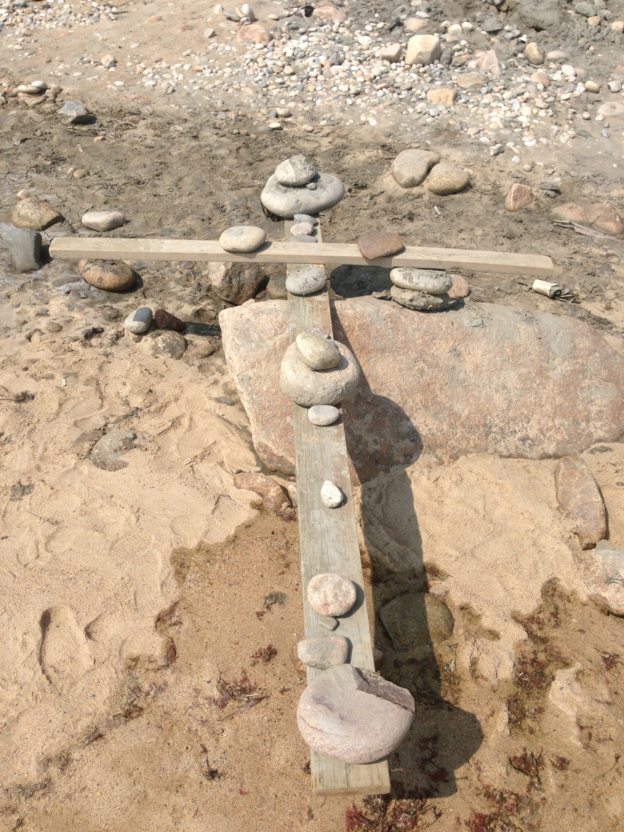
A balancing cross cairn
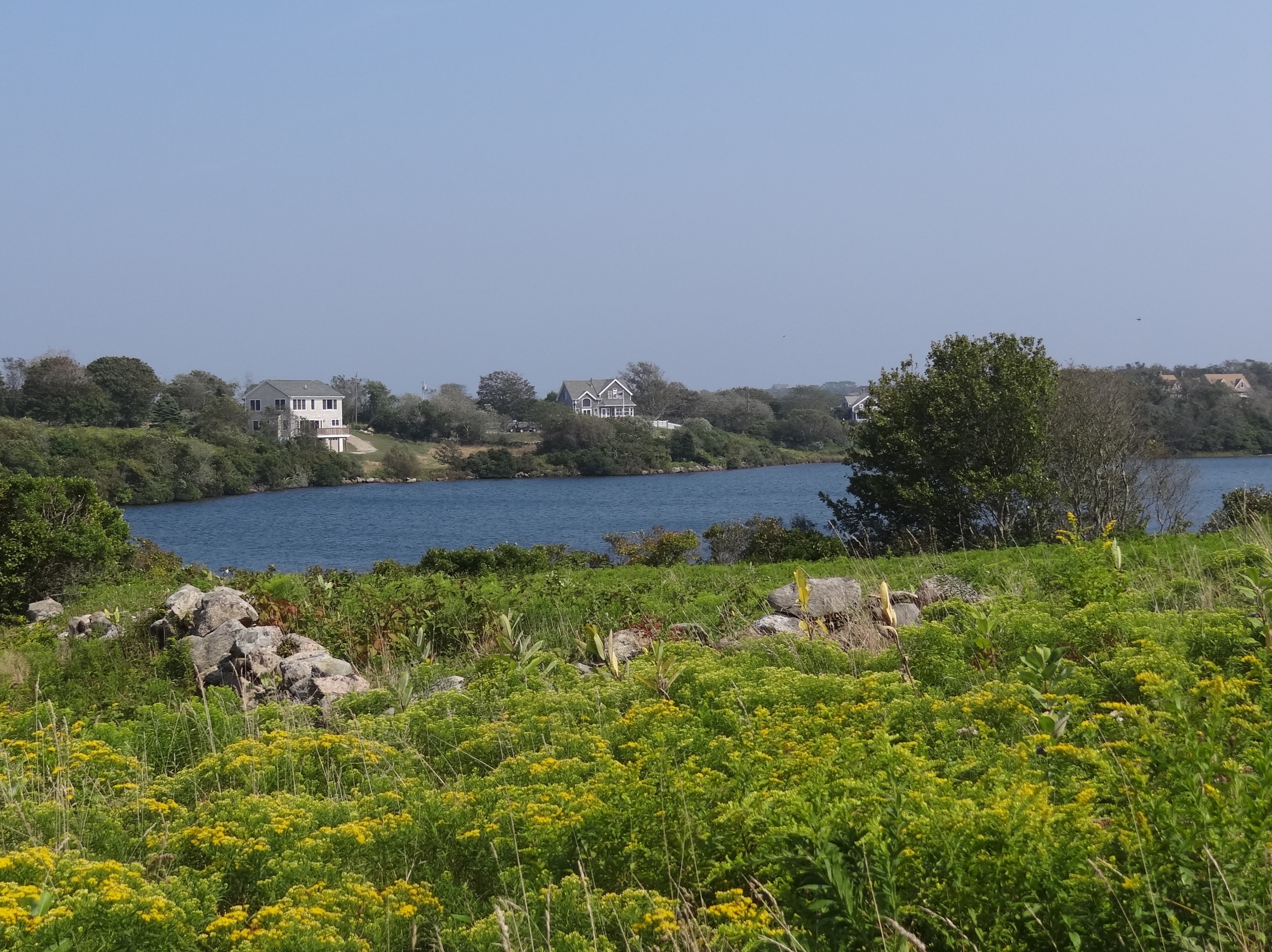
Fresh Pond as seen from Greenway path
The island contains several greenways and we walked part of one after “escape from planet cairn”. As we traipsed along through the narrow swath of path through the fields, I began feeling sleepy, sleepy , oh the poppies, so sleepy.
What, not poppies?
and this isn’t the wizard?
Sign by the seasonal Coast Guard station at the entrance to New Harbor
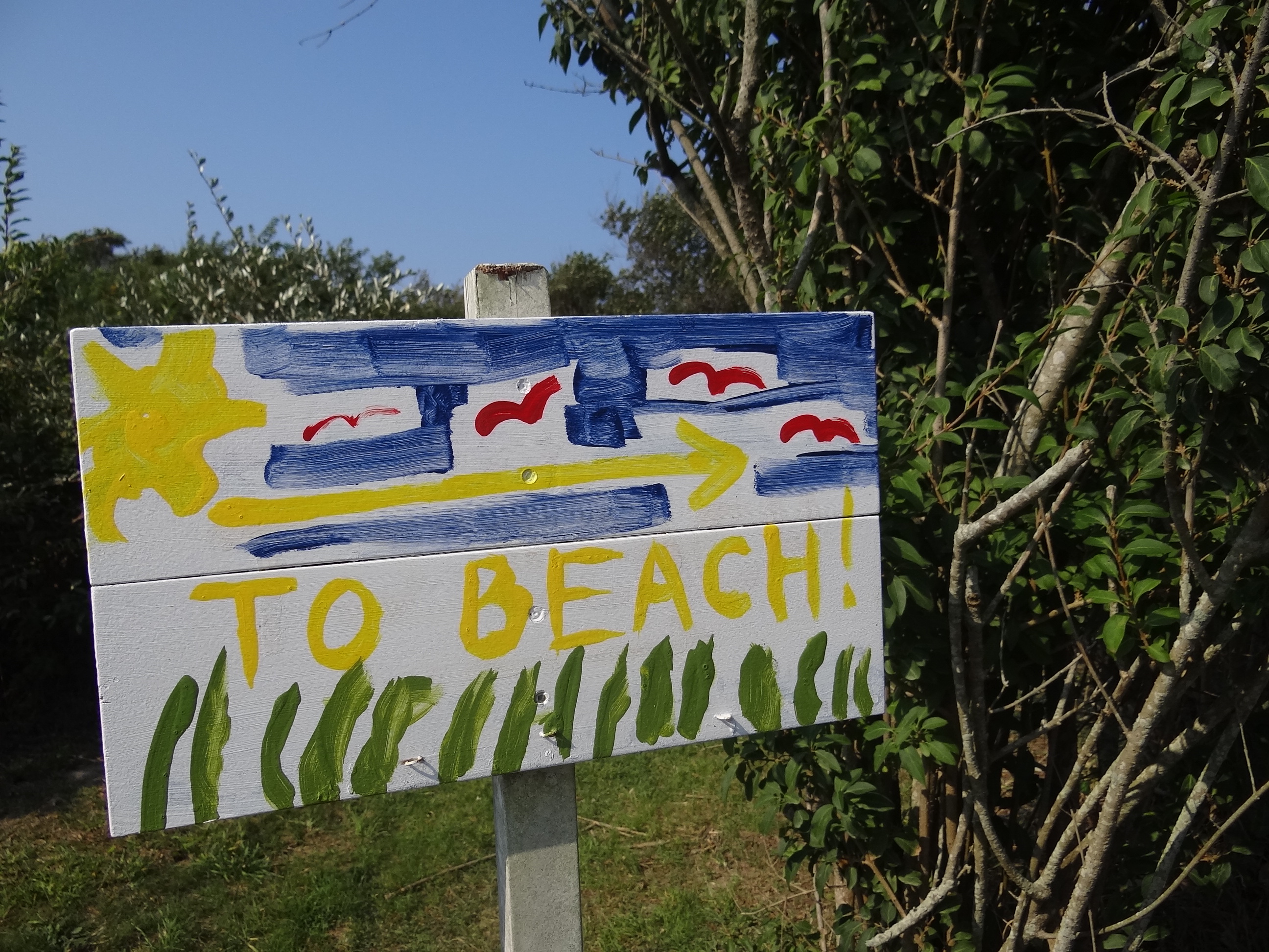
One sign that is hardly needed is one pointing to the beach; from anywhere on the island you don’t have to walk far to find a great beach. With enough time you can try them all, each is unique, but none had many shells and even less sea glass.