For those who wondered and are waiting to know and for those who missed the photo quiz, here is the answer to “who’s that gal?” from St Michaels.
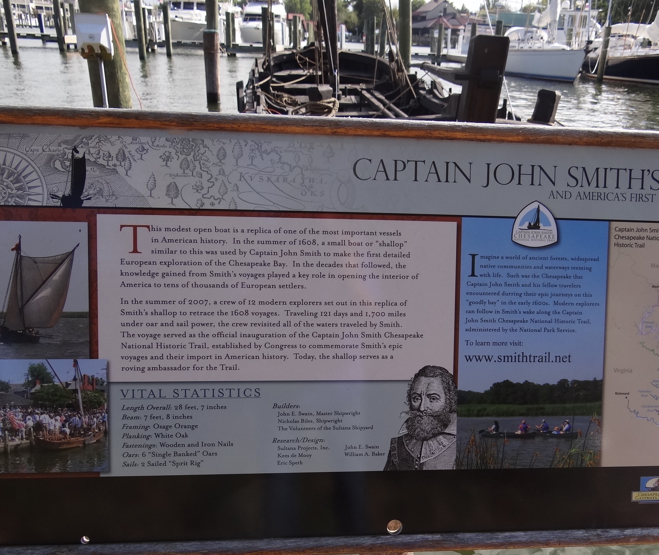
Frankly shallop I’m no good for clams
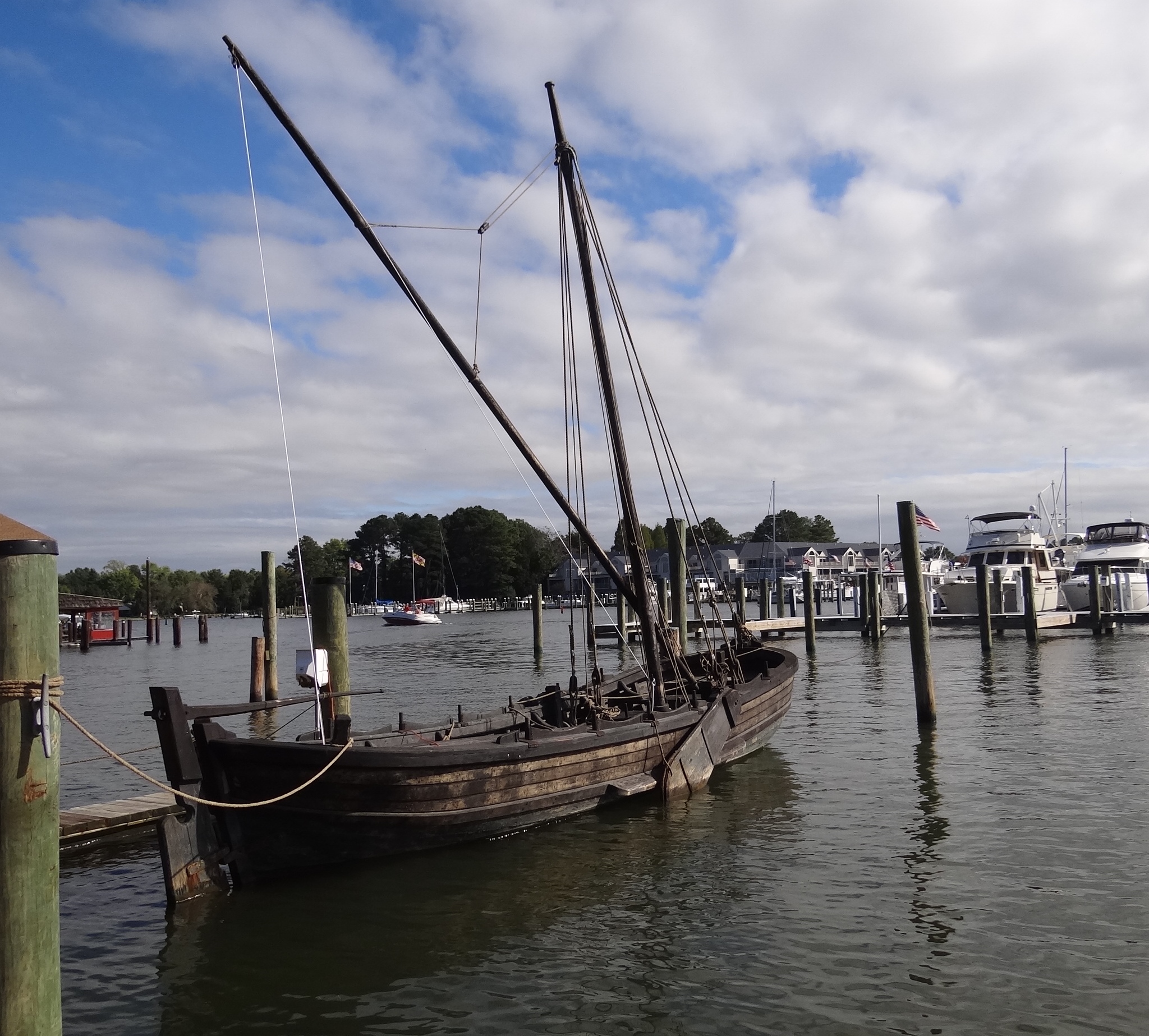
Replica of Captain John Smith’s shallop

For those who wondered and are waiting to know and for those who missed the photo quiz, here is the answer to “who’s that gal?” from St Michaels.
Frankly shallop I’m no good for clams
Replica of Captain John Smith’s shallop
In keeping with our typical M.O. of having a backup plan in place, if we hadn’t snagged a spot at the free dock we planned to secure a berth at Atlantic Yacht Basin across the way. Looking at all the boats along their 1,700ft of face dock and knowing boats also went into the back basin, I think that backup plan may have back fired! At any rate, we were well positioned to head over for diesel – our first fill-up since leaving CT.
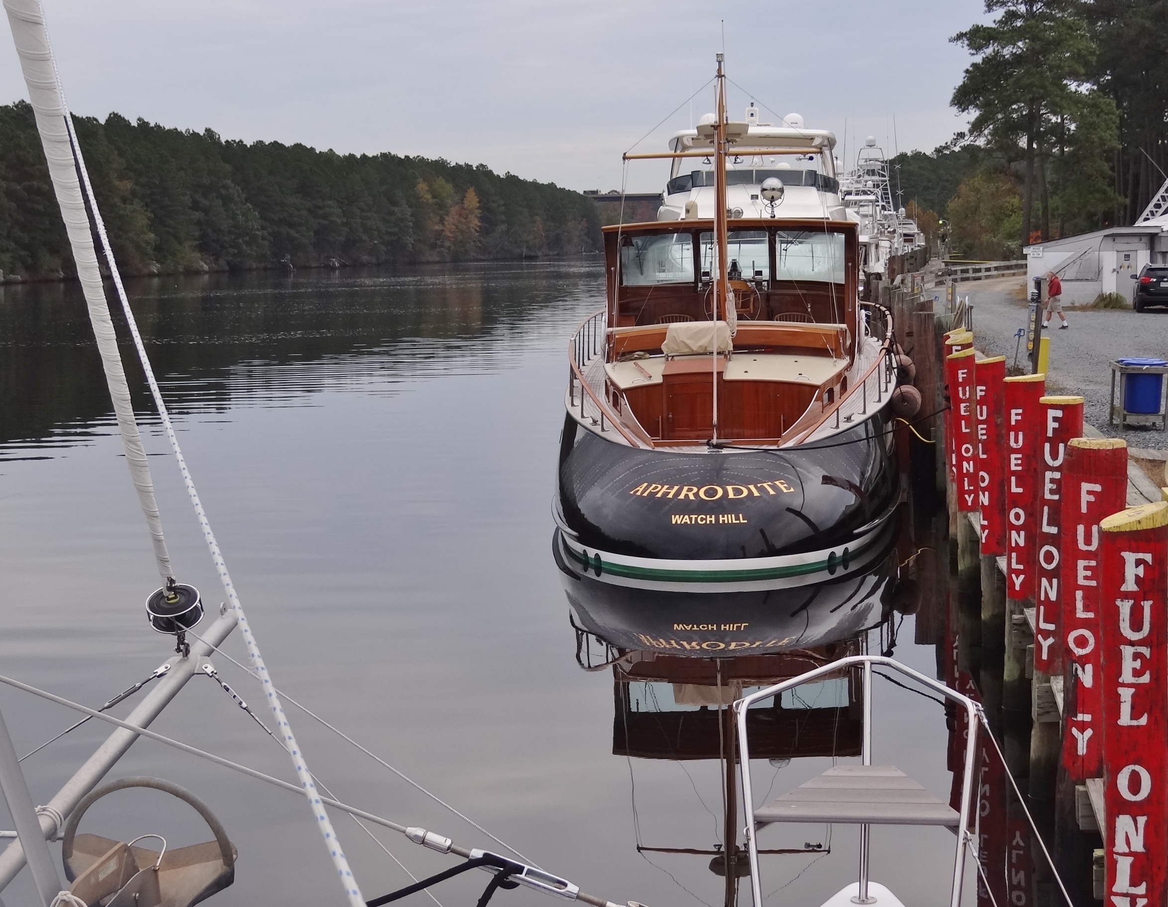
Fancy meeting her here! Too nice a boat to keep in the cold northern climes
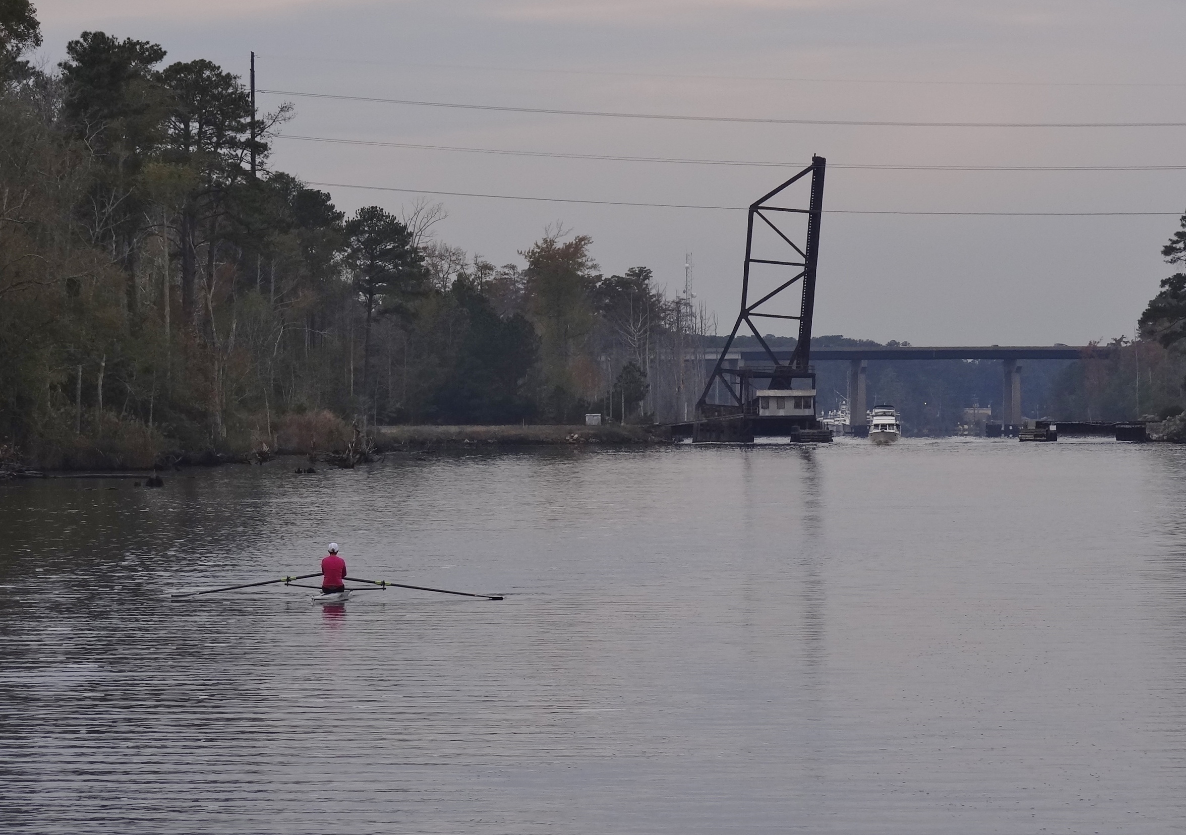
You will see all types of boats on the ICW- especially in calm conditions
We decided to try a new anchorage that night; one that would place us near the Albemarle Sound and give us a short sail into Manteo. The wind was forecast to be SW to W around 15kts give or take which would be fine for our SE trip to Manteo. Most boats were staying on the ICW, crossing the Albemarle to the Alligator River; no sailing for them. Our 27nm day took 4 1/3 hours; 2 ¼ sailing well at 6.5kts.
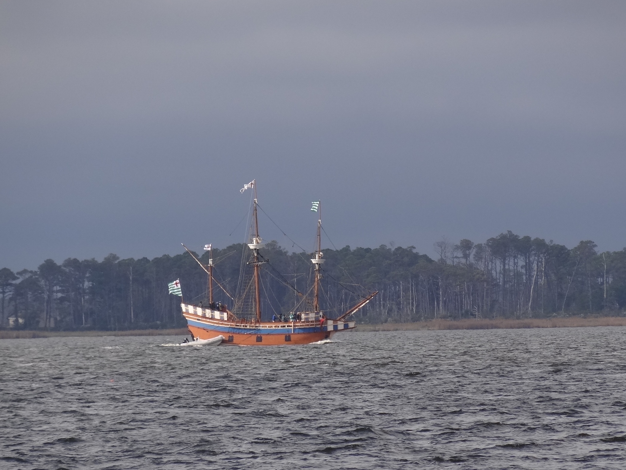
The Elizabeth II heads to Edenton from Manteo, NC
That night and for the next handful of days the wind was to be out of the West to North; perfect for getting protection in Manteo’s tiny harbor. We’ve spent many a night in Manteo with moderate to strong winds out of the NE to East. That just sucks because the harbor is exposed to the east and the waves just come in like they were invited! Four locals occupied much of the small anchorage but we snagged a great spot in 7ft close to the lighthouse museum. Not the Manteo Waterfront Marina, not the free docks, just plain ole swinging at anchor. The holding is great here and with the right wind direction, there’d be no fetch to make us the star in a bucking bronco show. A quick walk through the downtown area showed a bustling Manteo with more visitors than we saw a year ago. Sandy hardly made her mark here and the disastrous effects of Irene are no longer visible.
I got all excited when Russ created an adjustable planning chart showing the forecast for the coming week, using sticky-notes for the places we wanted to be each day. Wasn’t so much the chart, although it was very clever and very useful, but it showed we could stay the weekend in Manteo, spend two nights in Ocracoke and meet up with the ICW near Oriental; all trips with nearly ideal conditions. We planned to rent a car on Sunday to tour the OBX and more of Roanoke Island. Wow! Lady luck is sitting pretty on our tramps wearing her Plan A bonnet.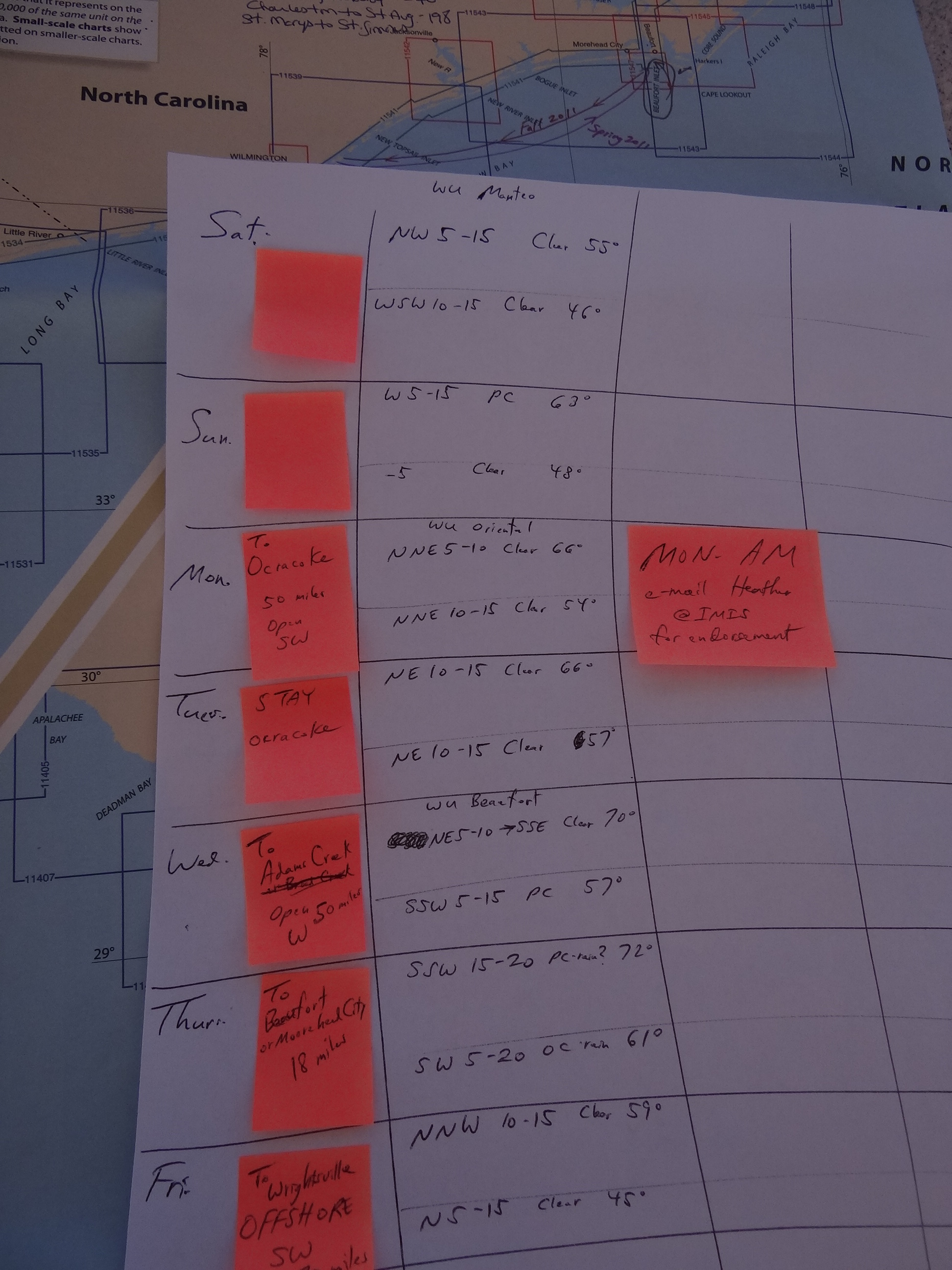
Not only that, but guess who pulled in to the marina? None other than Harmony II herself. You can bet we stopped by to share Sanderling’s greetings and say how we’d been leap-frogging them the past few days. They’d be spending the night at the home of a high school friend of Judy’s; a sweet treat given the temps overnight would drop to 45 degrees.
That evening lady luck fell off the tramps thanks to a weather event arriving the following Thursday-Saturday. This meant a plan re-think and with our adjustable trip planner we moved the sticky notes around until the puzzle worked again. Given our strong desire for warmth, our decision to move faster rather than slower will come as no surprise. Ah, Plan A felt good while it lasted.
We contented ourselves with taking care of the necessaries, including a Red Box rental; a so-so semi-horror movie starring an older, pudgier Val Kilmer. Our dining out treat was a delicious lunch at Avenue Waterfront; my Lavender Lemonade tasted soooooo good. They do their own infusing using lavender grown in their herb garden.

The Manteo weather tower flies the red flag for days
The Manteo weather tower is very unique in that it’s figured to be the only one still existing with the original lights attached. As weather conditions change, so does the flag flown at the top. For much of our stay, the red triangle flag was waving indicating small-craft warnings. By Friday at 4pm the wind was calming down for the night and I wondered if the flag would be changed; we’d never actually seen it happen. Sure enough the red flag was lowered and replaced by a white one for fair weather. Sweet.

No surrender- just wonderful fair weather arriving

