Carolina Beach: a very wide beach at low tide with oodles of shell pieces and some unbroken ones too!
Have you read any Nicholas Sparks? Message in a Bottle became a movie, starring Robin Wright who you’d swear was the MUCH nicer twin of the Robin Wright in House of Cards. A huge percentage of the books we find in the marina book exchanges have a seashore, nautical or sea adventure theme and Mr Sparks is predictable in his choice of settings; North Carolina shoreline. But other than smiling and thinking, “oh we know that place”, North Carolina is not my favorite state, which is too bad because it consumes 307 of the 1,095 official AICW miles; Florida has the most with 382 but that only takes you into Key Biscayne near Dinner Key Marina, the official end of the AICW.
North Carolina offers cruisers many great stops whether you want a marina or just an anchorage, but the way Cape Hatteras sticks out, beckoning the weather in, well, all I can say is that Fall or Spring we always have some sort of weather issue once or twice in NC.
Let’s set that aside and I will focus only on the good stuff. THE END. Kidding.
After Southport, NC I’d hoped we could head across the Cape Fear River to Bald Head Island. But imagine this- the weather was to turn to crap with rain, chilly temps and maybe even a day or two of thunderstorms! So up the Cape Fear River we did go, all of 20nm to Carolina Beach, following along in a line of boats through Snows Cut.

Very much low tide. M/Y Tapestry two ahead- from Old Saybrook, CT!
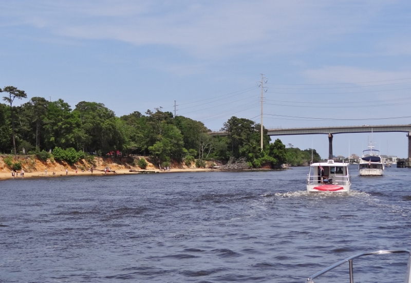
Felt like old times, all of us creeping along against the current at low tide in the cut, the power boats waiting to pass the sailboats after the turn by Carolina Beach. Not us. We turned right, hot on the donut scent.
At Southport we’d done our weekly good deed and assisted s/v It’s Perfect at SHVM at 8:30pm. We also tipped them off to the mooring field at Carolina Beach (9 balls and more to come?) Guess they liked it; staying almost as long we did.
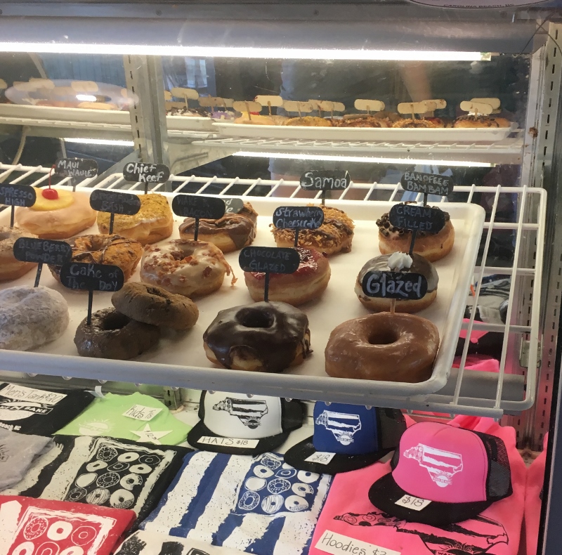
Cocoa Village, FL was the start of us picking up the donut trail again. We had to pass up Charleston’s offerings in favor of Firefly but no way was I missing Britts on the boardwalk at Carolina Beach. Not gonna happen.
While waiting for weather (did I say that?) and Britts to open at 4pm on Friday we found more reasons to like Carolina Beach. Randy serves as Harbormaster and runs three small marinas including the town mooring field; you can go in to pay your $20 nightly fee but Randy comes out every evening. A nicer man you may not find.
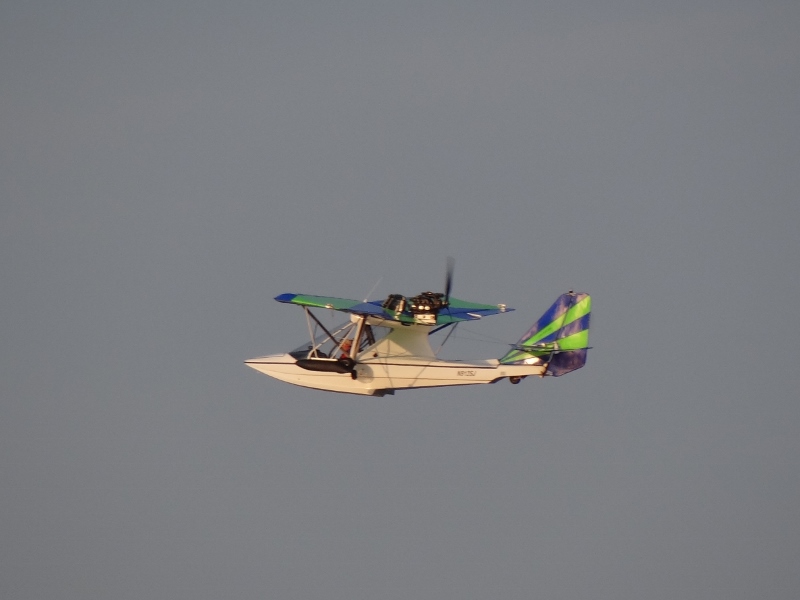
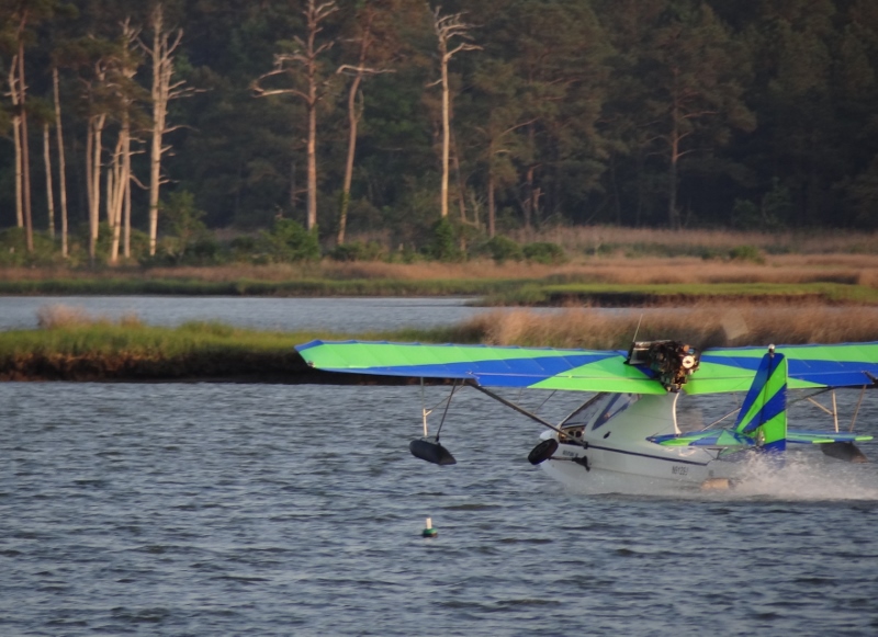
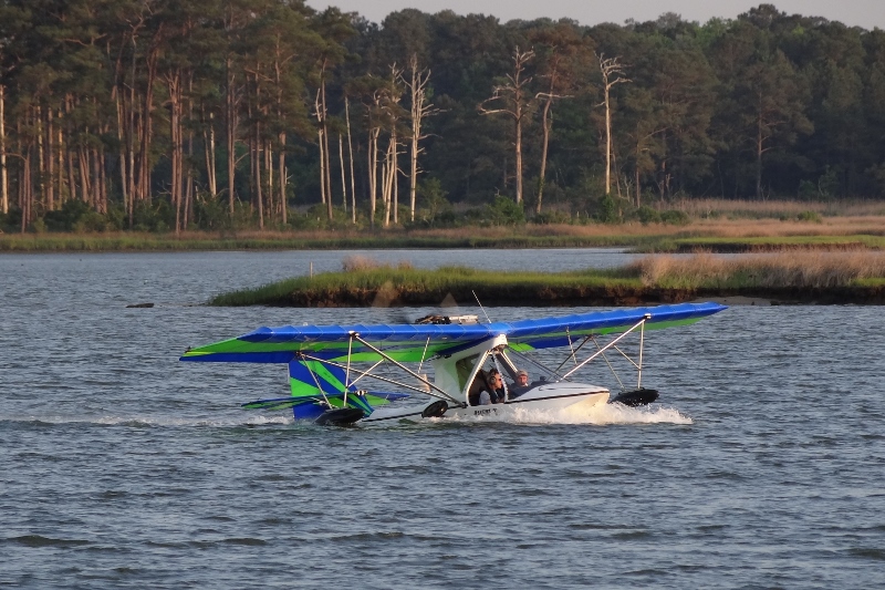
Russ points out a PDQ34 on the T-head of a nearby dock; why yes. This would be the fifth one spotted since Vero Beach. So who’s this guy on the paddle board? Meet Don on m/v Ripple, here for a month with wife Robbin and AussieDoodle Dory.

Oh look a visiting paddle board
We talked PDQ stuff- seems every single one is unique. I got all excited for a minute when we heard that our boat might have been one of seven to do the PDQ Flotilla from Finland to Holland in 2008. We always wondered why other PDQs didn’t have their anchor light centered (sticking out toward center on an arm from the mast) but instead just located on the mast. Turns out that across the Atlantic, requirements for lights and other boat equipment are very strict and the boats heading for the Baltic needed a centered anchor light. Sadly, Twins was not one of the seven, but several built around the time she was (2006) do have the same set up we do.
A time to plan, a time to rest, a time to eat donuts, a time for the Ripple Effect and for catching up on the blog.
We’ve coined two new terms as a result of meeting m/v Ripple: The Ripple Hour-defined as: when you have happy hour before 5pm. The Ripple Effect is whatever causes an early happy hour, and/or what results from an extended happy hour. 🙂 Meeting Don, Robbin and Dory gets a big thumbs up from Twins.
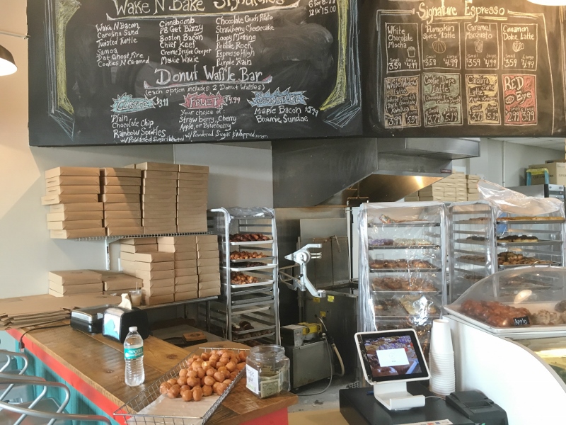
We also found WakeNBake Donuts, but shhh don’t tell Britts. This was unintentional and all because Russ checked TripAdvisor for a phone number for Britts. An easy 20 min walk if you leave the dinghy with your new friends or Randy will find a spot for it somewhere in the marina.

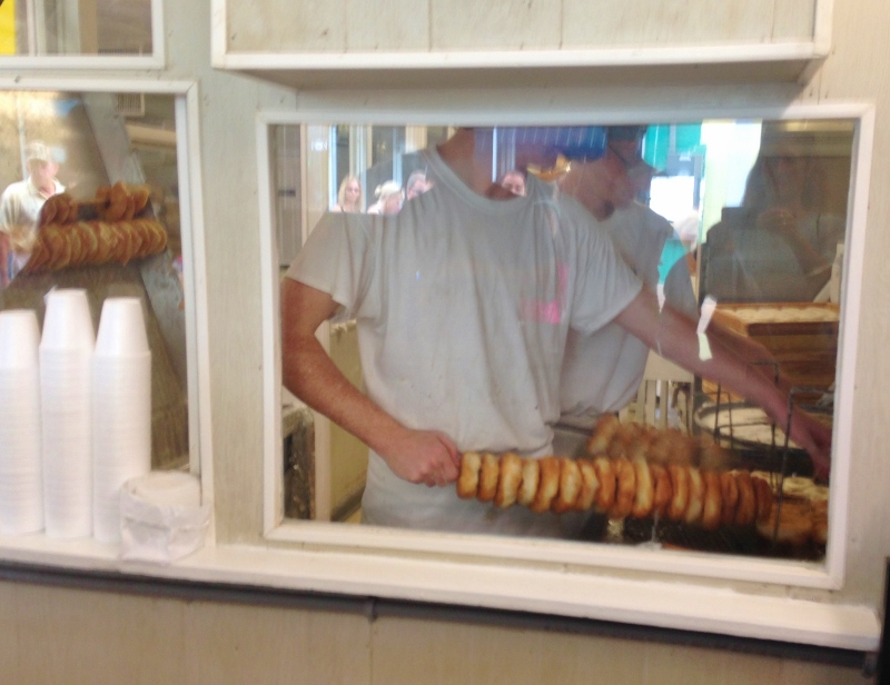
Note the free donut holes to taste while you wait and drool

They: Wake N Bake. We: Wake, Walk and Devour
Saturday, despite the early morning rain, turned out a very good day.

Our turn! Look at em!
After a mere 20 minute wait, we ordered a dozen because the price was a MUCH better deal than for six. These delightful donuts aren’t filled or topped with anything more than a delicious, not overly sweet glaze, thus easy to eat more than one!

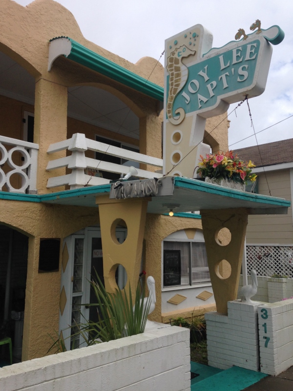
Old fashioned beachy town apts

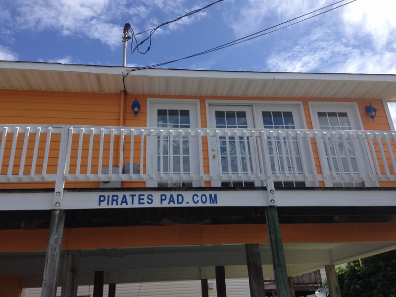
But we found a more appropriate place 🙂
Seeing how Saturday was the one sure non-rainy evening we turned to that trusty TripAdvisor app and found the #2 dining spot in Carolina Beach; an easy 4 min walk from the southern dinghy dock. Why not #1 you may ask? Well, #1 is Kate’s Pancake House and we ate there the day before.

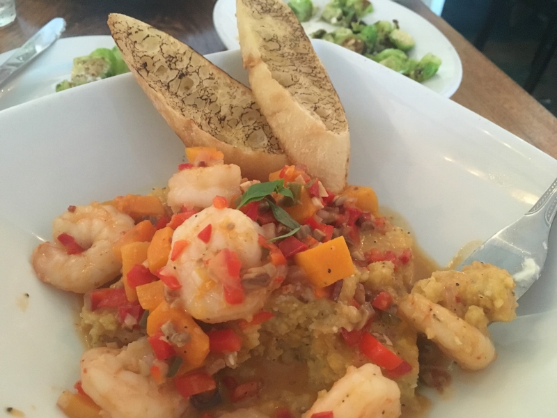
Shrimp & Grits, smokey bread. The roasted Brussels sprouts topped with burrata, sprinkled with chopped cashews (behind the shrimp dish) were compliments of the chef- delish!
Sunday, the mooring line that had become firmly embedded on our cleat 🙂 was cast off and we putzed up to Wrightsville to stage for a coastal jump up to Beaufort, NC. . Would we, could we, should we?

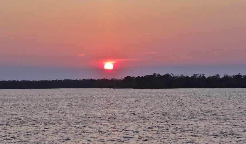
Anchored at Wrightsville Beach: A gift after the rain
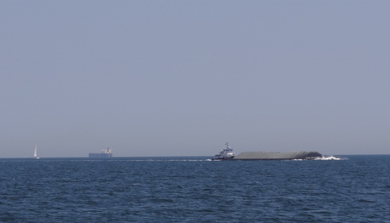
Ready, set, go! Or was it ready, aim, fire!?? The inlet was calm, the newly repaired jetties standing guard and we wondered (as we always do here) why so few boats were taking the offshore route. For most sailboats and slower trawlers they must contend with several opening bridges that are not on request, several spots of skinny water where you better be in the exact right place, an often crowded Mile Hammock anchorage spot AND the maybe announced, maybe not ICW closure by Camp Lejeune. When possible we have always passed up on all that fun and taken the offshore route. This only takes a day- easier accomplished in spring- whereas taking the ICW means a two-day event.

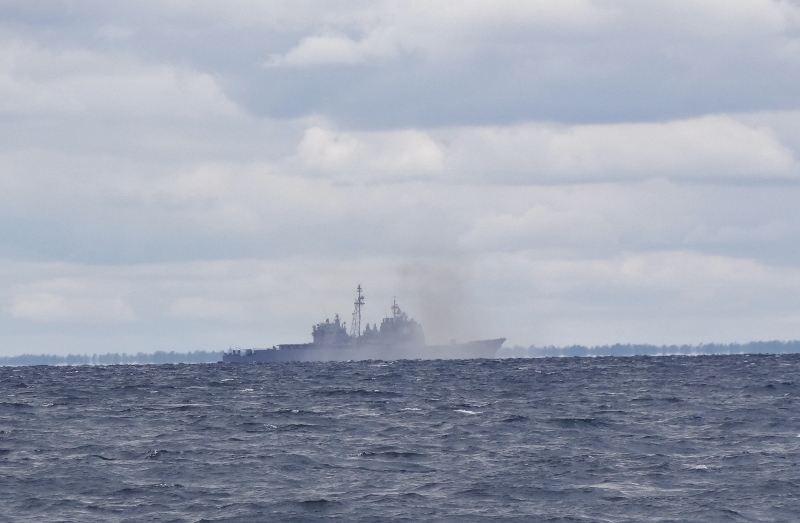
10 miles offshore Warship 16 kept us coastal route vessels entertained, just keep one mile away
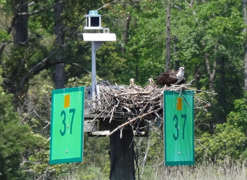
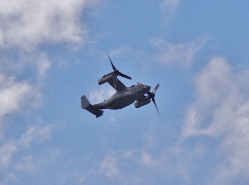
An Osprey of the military sort


Warship 55 live fire exercises off Camp Lejeune. This was likely more fun for the boats on the ICW
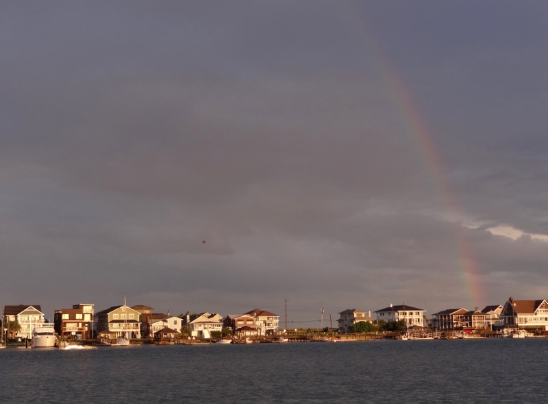
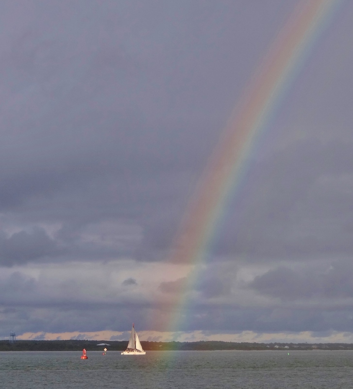
Before the rain ever reached us, a huge rainbow appeared. A pleasant evening after a good trip mostly at 8kts with several dolphin sightings, military exercises and no rain underway.

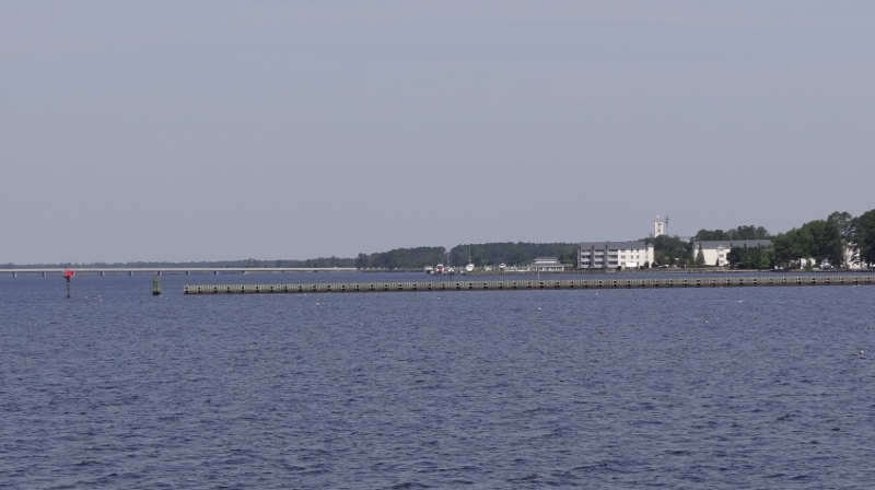
Anchored off Fort Macon near the Coast Guard station

Entering semi protected Belhaven, NC

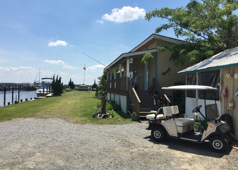
Belhaven Waterway Marina is compact for sure. Twins was the only visiting boat this day/night- easy departure.
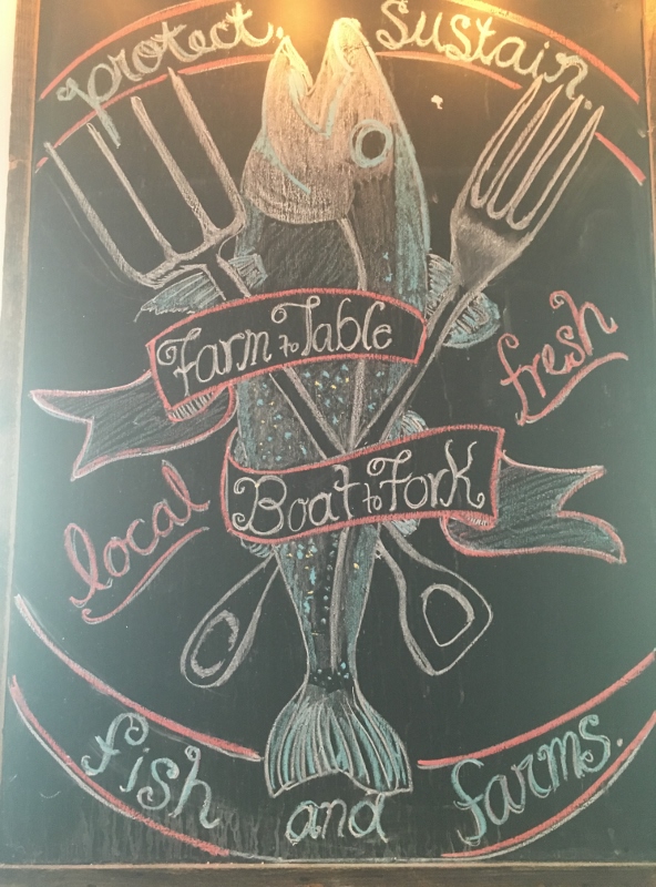
Belhaven, a pretty town with a gorgeous artsy restaurant named Spoon River clearly the belle of a once vibrant town that is trying hard to stay on the map. Belhaven Waterway Marina is like the new town (inexpensive) dock but with amenities- like a free washer and dryer, spotless shower rooms with shampoo and soap provided and the welcoming on-site owners are former cruisers.
Lunch was good at the Gingerbread Bakery & Cafe. They make homemade potato chips sliced very thin the length of the potato not the usual crosswise. Great prices and fast friendly service make this a popular eatery for locals, including the marina owners!
The star of the day’s show was Spoon River, located in a former antiques shop about a block from our marina.
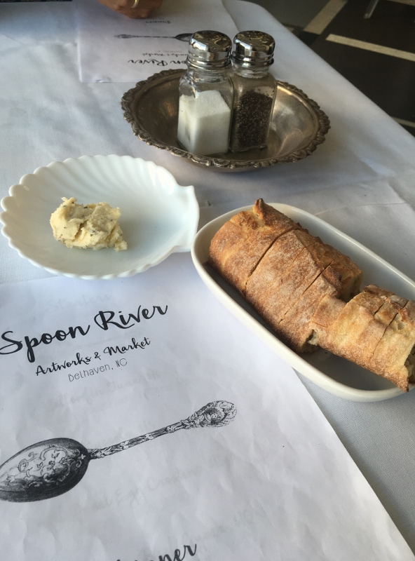
The start of something great. Closed on Tuesday, we delayed one day and it was SO worth it
Clever and unusual cocktails, many with fresh herbs, couldn’t have been more generously sized or thoughtfully prepared. Kudos to owner Theresa. Gotta love the names. Prices very reasonable.
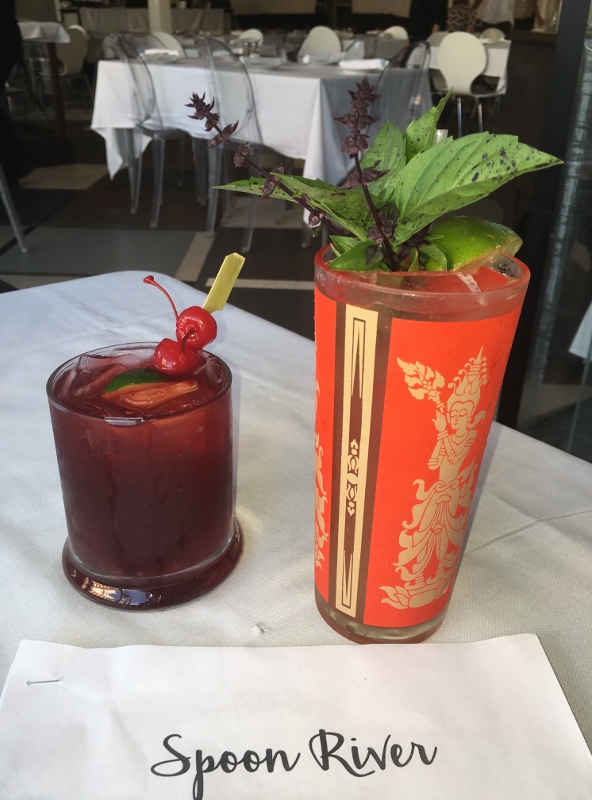
Tarheel Moonrise and Iron Throne
I could go on and on, but let’s keep it at “we’ll be back”. Many thanks to our friends Glenn & Linda of Mintaka and Mike and Ann of Traveling Soul, both with excellent taste in dining as well as fabulous cooks themselves, for making sure we knew about Spoon River. Worth noting that most of the ActiveCaptain reviews for the marinas and the anchorage mention Spoon River. The Tavern at Jack’s Neck sits across the street, no doubt with its own following. Maybe next time… if we stay longer.
After leaving Belhaven, we’d transit the 22-mile lonnnngggg mostly straight canal that connects the Pungo and Alligator Rivers. Other than being careful not to wander over to the sides where you will encounter shallow water and possibly ancient tree stumps, and hoping that passing go-fast vessels are courteous, it’s an easy stretch.

The dead head section- beware. See the sailboat up ahead?
After 25 miles in the Alligator River itself, you cross Albemarle Sound ( a mere 15 miles) and consider yourself lucky if the winds are low and the fog is nil. One year we waited days for strong winds to subside which would allow the Alligator River swing bridge to open. This time, no waiting, no problems. Life is good.
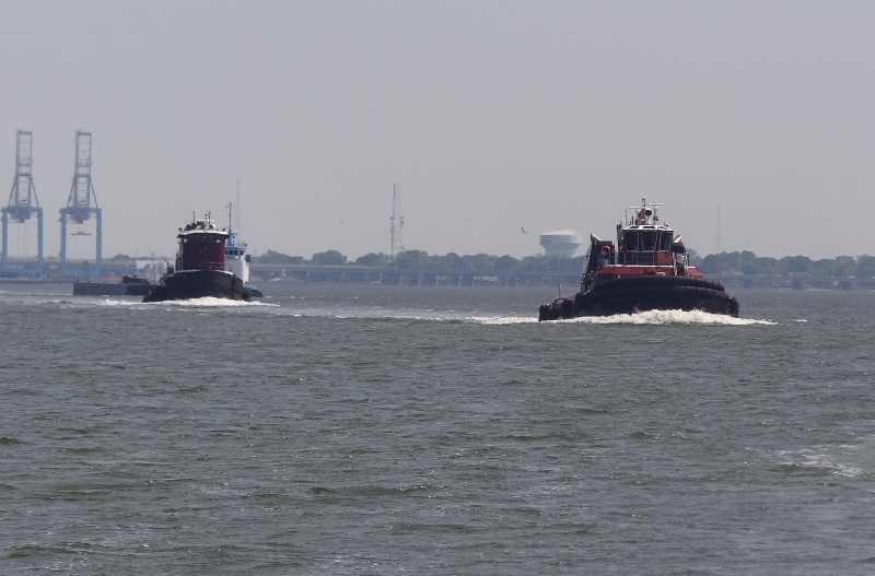
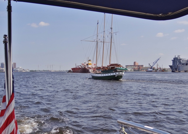
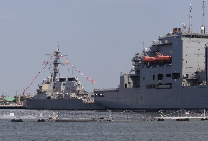
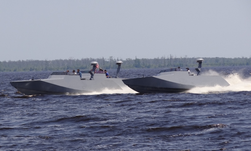
You may have guessed that North Carolina offers a variety of opportunities to see military assets in use. You never know what might be around the bend, coming up fast behind you or flying low overhead.

Alligator River, south of the bridge. I doubt these were pleasure craft out for a joy ride.
After crossing the Sound we pushed on another 13 miles to anchor in a new spot. This meant trusting the reviews, the chart and the Captain’s ability to stay in 5ft or more. Oh and dodging crab pots. No problem mon. The next day sailboat Hafli hailed us wondering if the chart was accurate at 6 ft (ish), yes we told him, sorry.

North River Ext, – our last NC anchorage