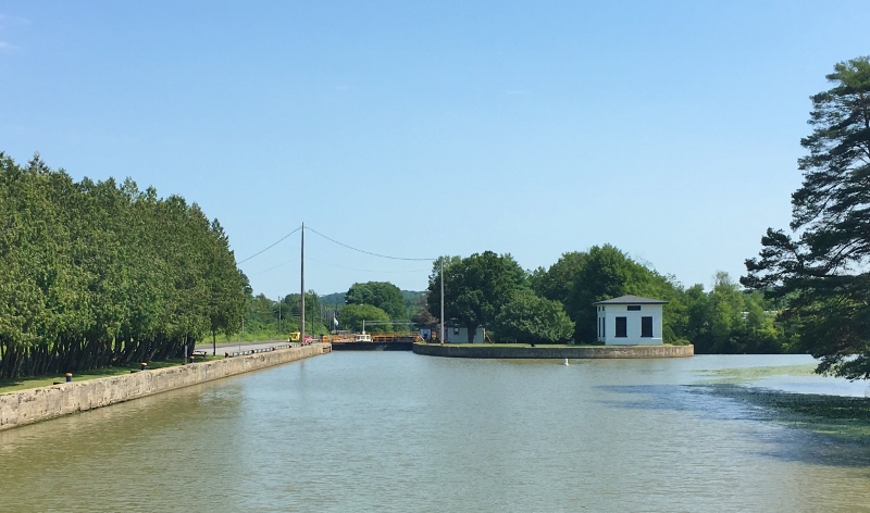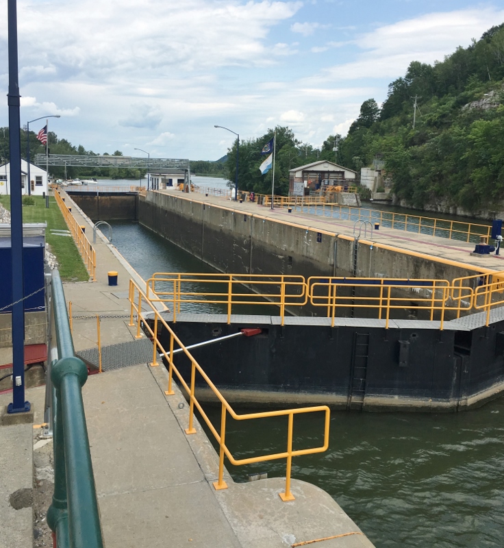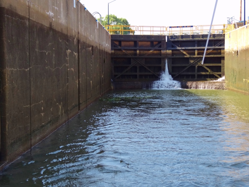
Looking back into Lock C12 at Whitehall as we exit
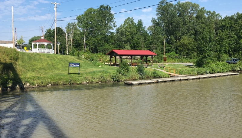
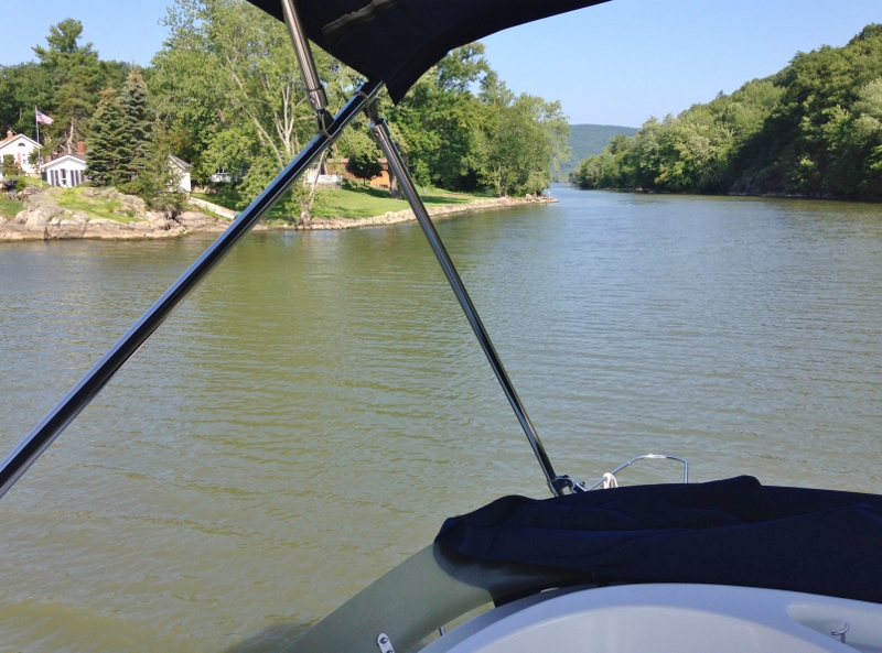
The final leg, yippee!! For so many reasons I’m very happy. Russ too most likely. Right off the bat we dealt with our final bridges and Lock C12. The remaining 45 nm would be pleasant and my camera clicked away. I’d pay for that later, with so many more photos to download and edit.
Roughly one mile north of the lock we came upon the Poultney River indicating that the Vermont border would now be to our east.
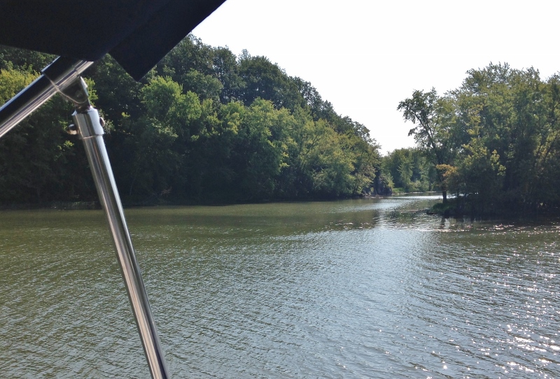
Poultney River- so that means VT on our right
And on the left, New York
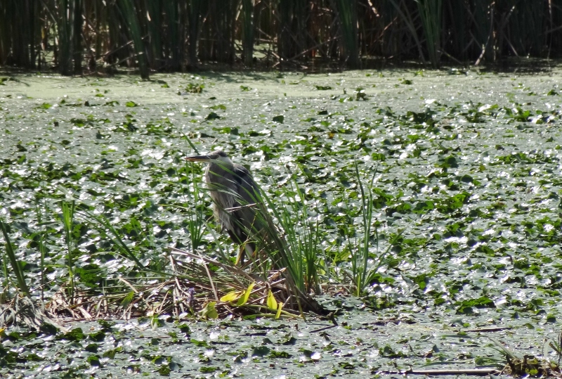
Herons and egrets could be spotted on both shores with regularity and fishermen proved what osprey knew- fish on!
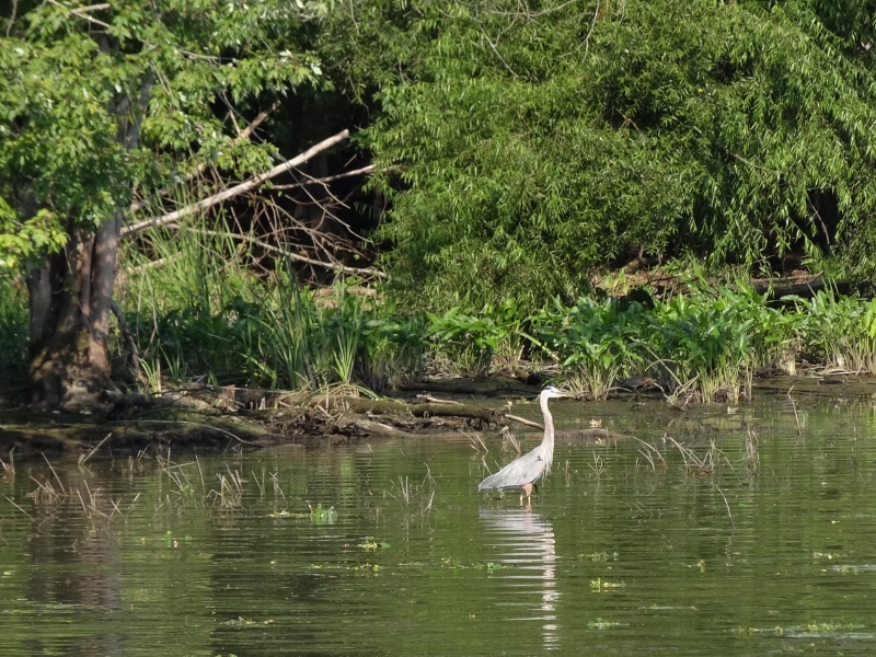
Hopeful Heron
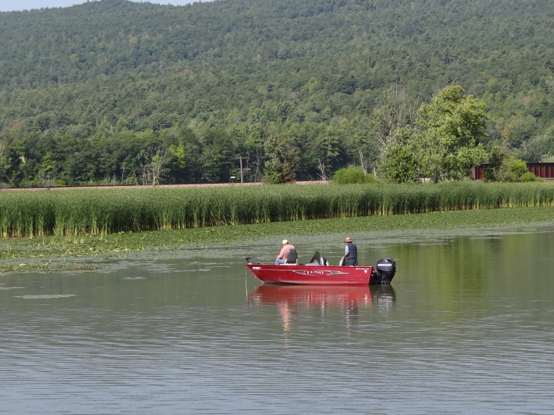
Fishermen mean fish and thus, Osprey. Western shore- so NY
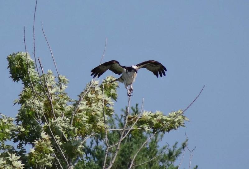
Precise landing
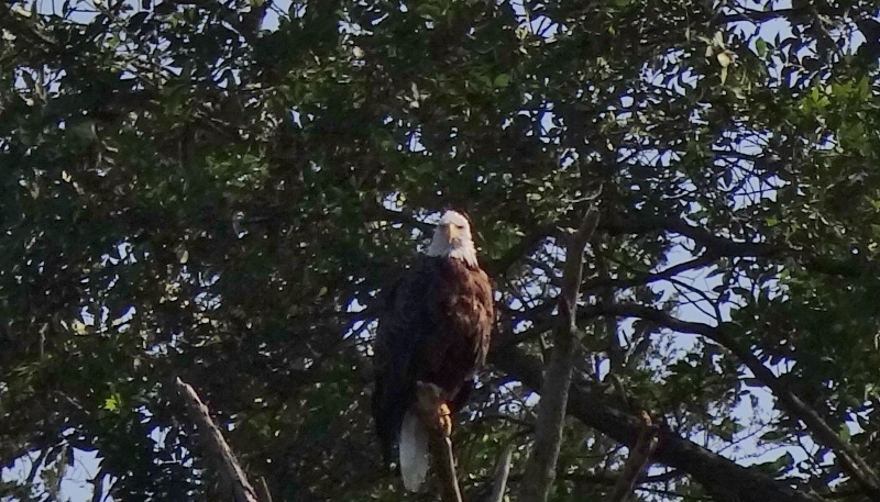
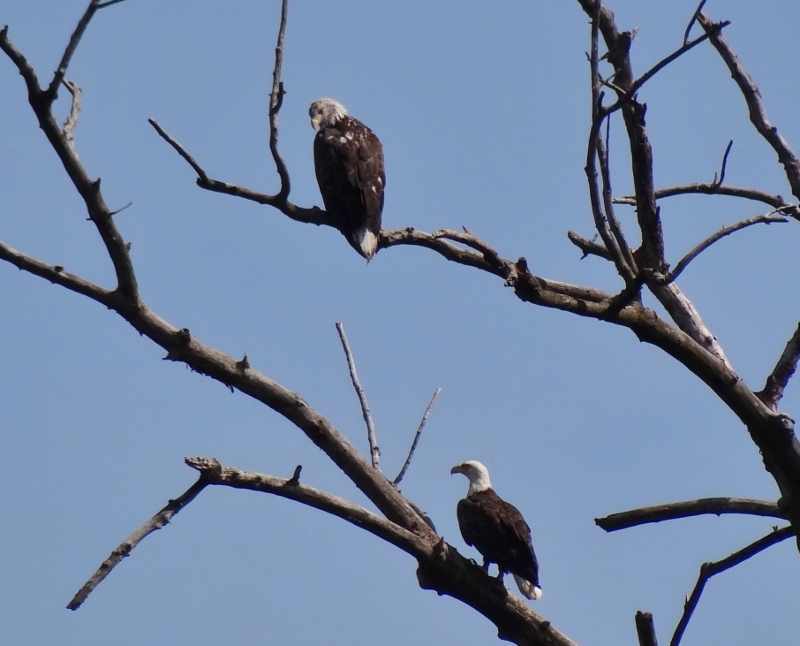
Regal eagle
The chart showed us a new term, “drowned lands.”
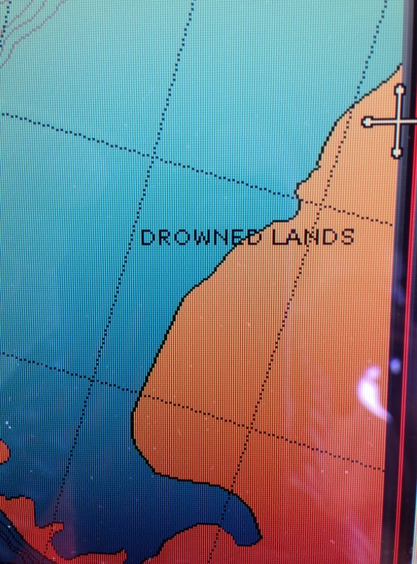
As opposed to, say, flooded?
Drowned Land- the section behind and to the left of the green grassy stuff
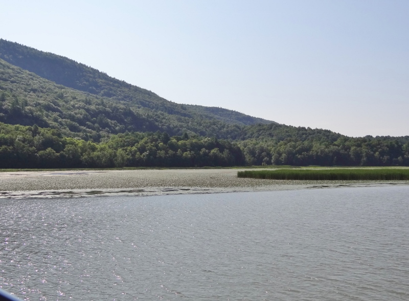
Surprised by these orange paddle wheel/boat machines as we came around a bend. What the heck? Some quick research along with confirming info obtained at the Maritime Museum, told the story. Gotta get these plants at a certain time to make the effort effective, but from what we read it’s a losing battle. But hey, what a cool ride!
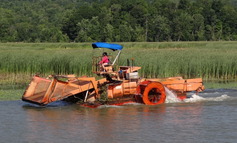
Mechanical paddle wheel harvester removes invasive water chestnuts
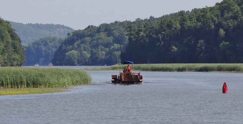
Water chestnut removal took place about 3nm north of the Whitehall Lock
A bit further north we saw this kayak team enjoying a paddle and helping the cause.
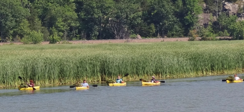
Kayak team goes after the water chestnut too
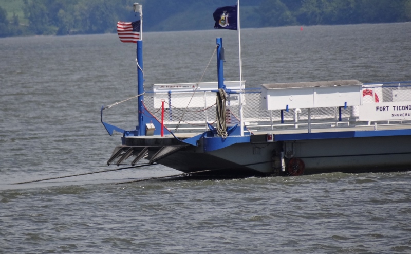
Fort Ticonderoga (Fort Ti in local-speak) sits high up on New York’s shore. You can see why this was an ideal perch for a fort. The fort has been completely rebuilt; some of the original stone was used to build the walls and sturdy foundations of impressive homes we spotted along both shores. I visited Fort Ti as a child with my parents. Probably on the same trip as Lake George where I remember we rented a small power boat (the kind now displayed at a vintage boat show) and my Mom drove- fast!
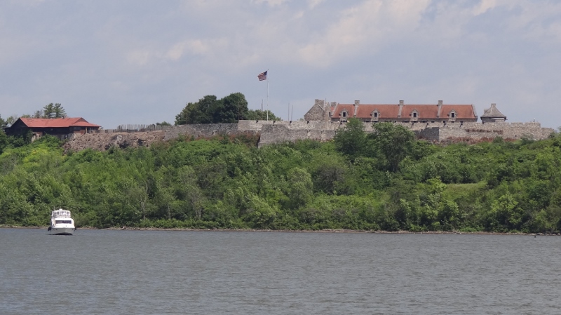
Fort Ti. Boaters can anchor nearby on either shore
One can cross from the Vermont side in style, but passengers only. Docks near the fort.
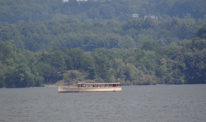
Stylish vintage ferry to Fort Ti
Most will want to cross back and forth in their auto, so you take the cable ferry. It never deviates from the path. Stable enough in all weather. A small tug sits alongside at the ferry’s midpoint to assist.
Don’t pass too close in front of or behind the cable ferry
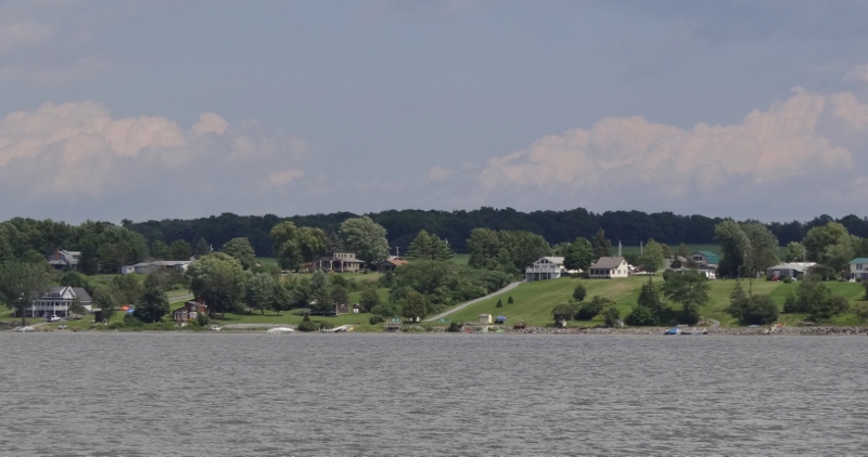
Picturesque Vermont shore
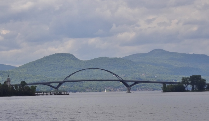
Crown Point Bridge- the only bridge across Lake Champlain. At the narrow spot of course.
We’d hoped to anchor off Crown Point State Park for lunch but pushed on, not wanting to use one more ounce of diesel than necessary. Fumes I tell you. Perhaps on the return trip we can stop.
We spent a few nights in the RV a couple of year ago….right up there
We quickly got the message that sailboats ruled the roost in the Lake; sure makes sense.
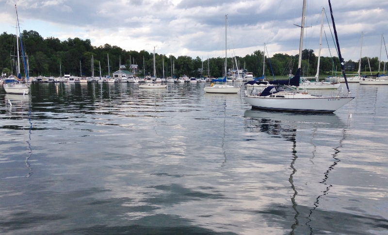
Sails outnumber powers by a WIDE margin- here, there and everywhere on the Lake
We fueled up and pumped out at the marina fuel dock. Their diesel price is very reasonable $2.49/gal considering they have no competition for miles. A ferry runs between Charlotte and Essex, NY, more recently it began operating all year.
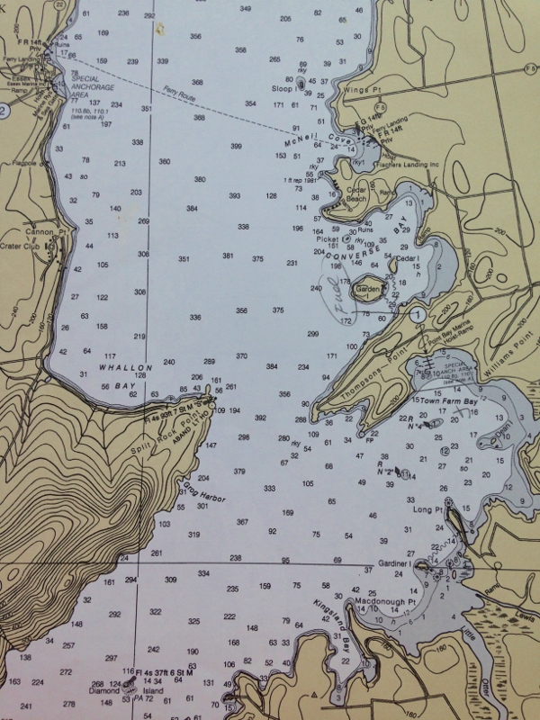
On the right, see the circled 1, it points to Point Bay Marina, our home base for the next 4 weeks
Extra happiness arrived Thursday when Benj and Lily arrived bearing farm fresh veggies and flowers from Elmer Farm where Benj works in summer.
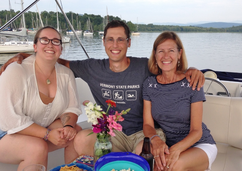
Gorgeous fly bridge time with dear ones
Very light and variable breeze permitted hanging out up top. Don’t we look so happy? Could this get much better? Wait and see.