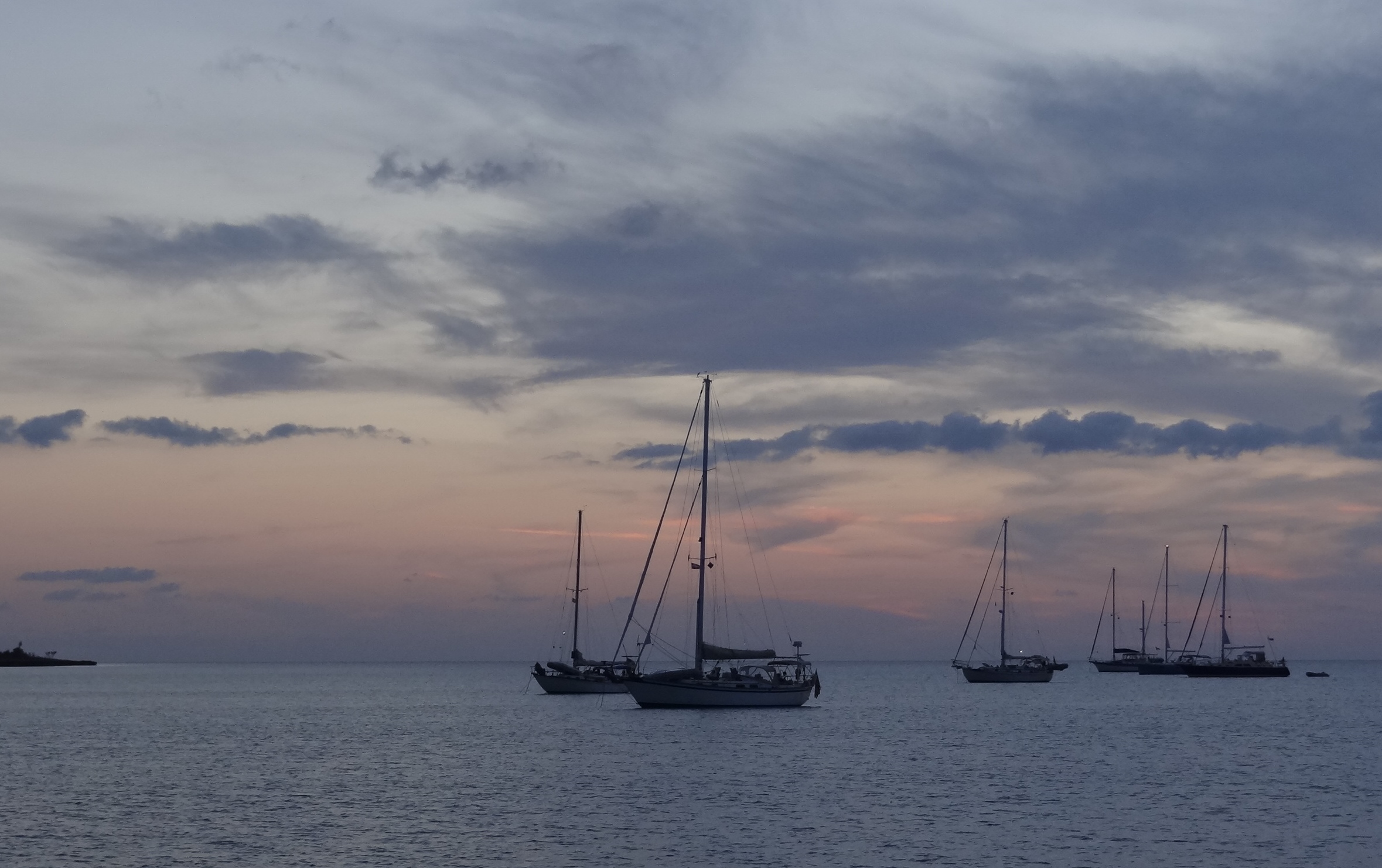
A classic sailboat sunset at Great Sale Cay
Once we departed Allan’s-Pensacola Cay, it was the beginning of the end. From this point we’d be working our way west, only this time, with so many favorable crossing days, we planned to not do an overnight. 🙂 This would be a welcome change from years prior when we quickly got our act together and crossed over 200 nm in one fell-swoop.
Paul Simon assures us that there’s 50 ways to leave your lover, well let me assure you that nearly as many ways exist to leave the Bahamas! Given our current state of drunkenness, we used the 3-step method of ever-increasing daily distances. Not only would this keep us in the Bahamas just a little while longer; we’d also score pirate points by staying past the 120 days Mr Grumpy allowed on our visa. The boat gets one year, but we don’t; however you can extend your time by visiting a nearby customs/immigration office right before (not sooner!) your time expires.
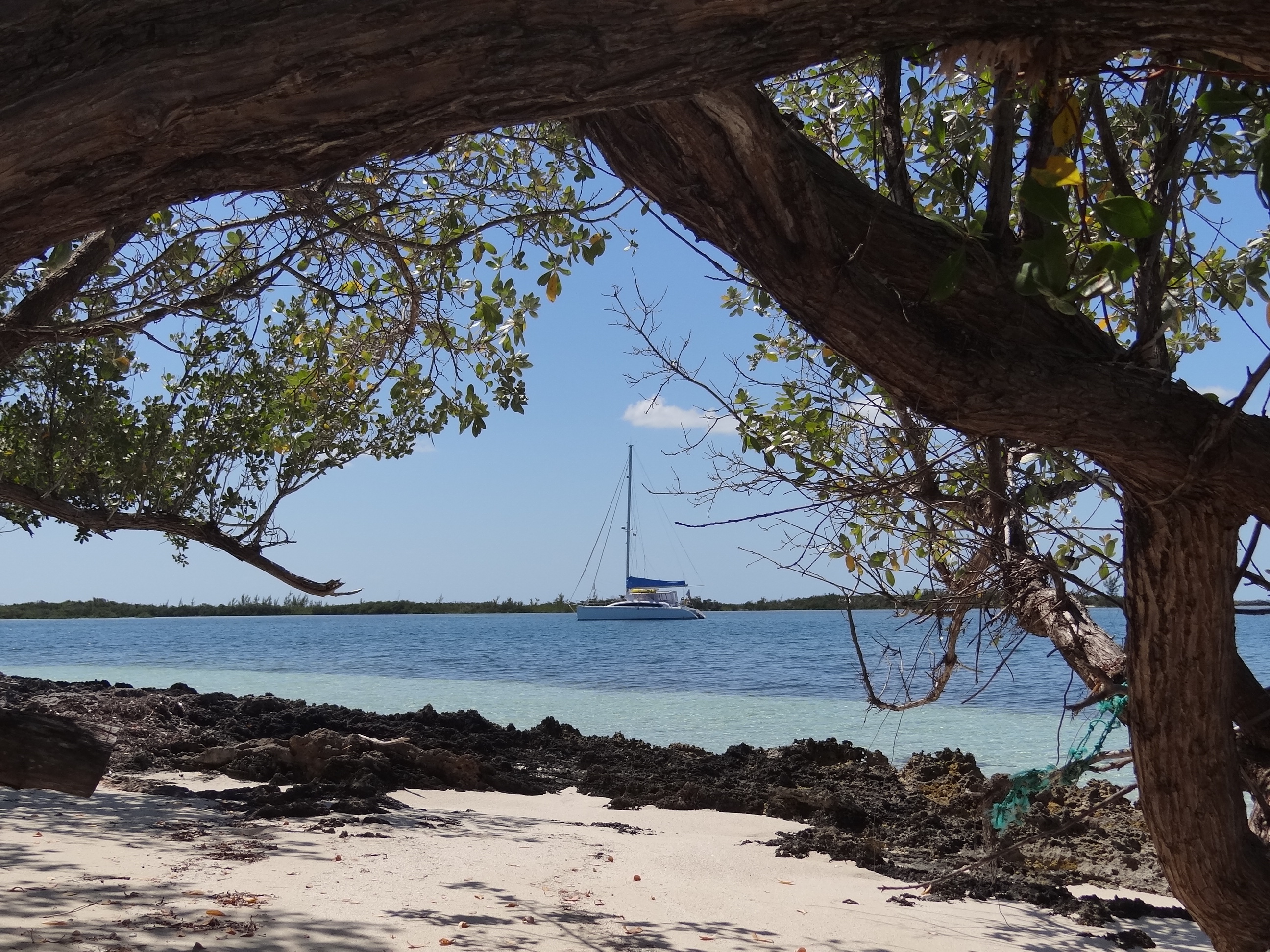
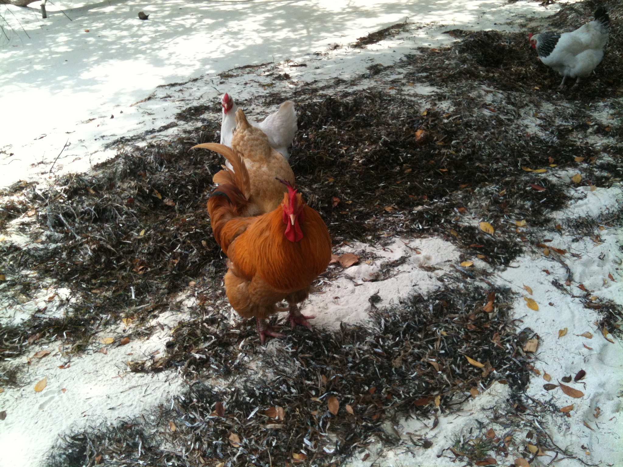
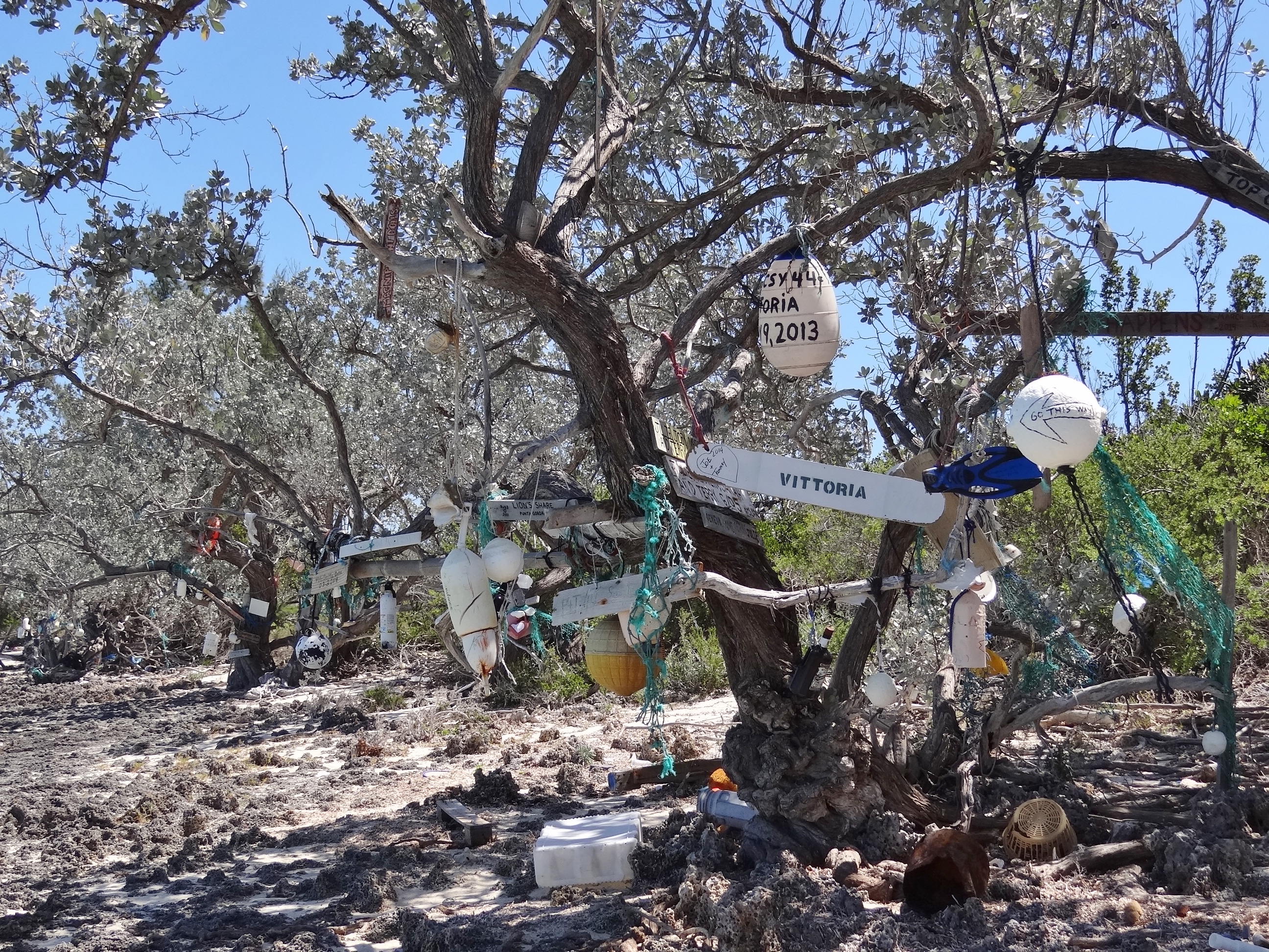
Step One: sail to Great Sale Cay from Allan’s-Pensacola. 30nm, 85% sailed. Gorgeous, low humidity day. Cleaned and began to pack away my beach treasures. Great Sale is three miles long and its main purpose (maybe only) is to provide anchoring protection. Winds out of the east through south allow you to use the north side; just pull up and drop the hook in the area noted on the chart as “good holding.” By nightfall nine boats were comfortably nestled in for the night. Or so we thought. Anchoring etiquette notwithstanding, common courtesy should come into play, not to mention common sense.
In the middle of the night a boat dropped their anchor and noisy chain about two boat lengths off our starboard (sleeping) side. What was wrong with our plenty-of-room port side? Or farther behind us? I bet others lost some sleep too. In the morning, we noted the boat name, Bad Betty! Darn right she is. Too funny. Close enough to hear them talking, I had no trouble seeing the captain remove the steering wheel; “bad wheel, you made me get too close!”
Step Two: sail to a banks anchorage in the Goodwill Channel approx. one mile above West End, Grand Bahama. 48nm, 81% sailed. Another lovely day with an accurate forecast. Watched several boats (all monohulls here except us) raise anchor, raise main, turn about 60 degrees south and head off. Would have been our MO too, if not for too close s/v Bad Betty.
After raising the anchor- oh let me backtrack a second- sometimes the anchor comes up with gobs of sand that takes a few minutes to rinse off, so Russ lets the anchor dangle then finishes bringing it up and securing it. I make sure to proceed very slowly until the anchor is secure.
Ok, so we raise anchor and Russ comes back to the helm to help me reverse far enough so we have room to get the main up and turn behind BB. We make this happen successfully and get going on course. I hear a clanking noise and go into detective mode, first checking where the sound seemed to emanate from; the bow area. Uh oh. “Honey, the anchor is still down!!!” she cried out urgently. Well, not all the way, just still dangling in the water. Note: when you are old and deaf you shouldn’t go cruising.
Several boats were ahead of us headed toward West End, maybe the marina, maybe to anchor in a bit of land lee on the banks just above West End. One was way behind.

Find the blue A; that’s about where we spent the night. Alone with no other boats to worry about
Our selected spot was going to look and feel very weird; dropping the hook practically in the middle of nowhere in shallow water with the Atlantic Ocean (Straits of Florida) one mile away. This was preferable to anchoring about 10nm further north on the banks at Memory Rock with no land in sight and no shallows to cradle you. The wind would settle in around 8-10kts but then pick up during the night (sure, why not?) so that we’d be seeing 14-16kts into the early morning hours.
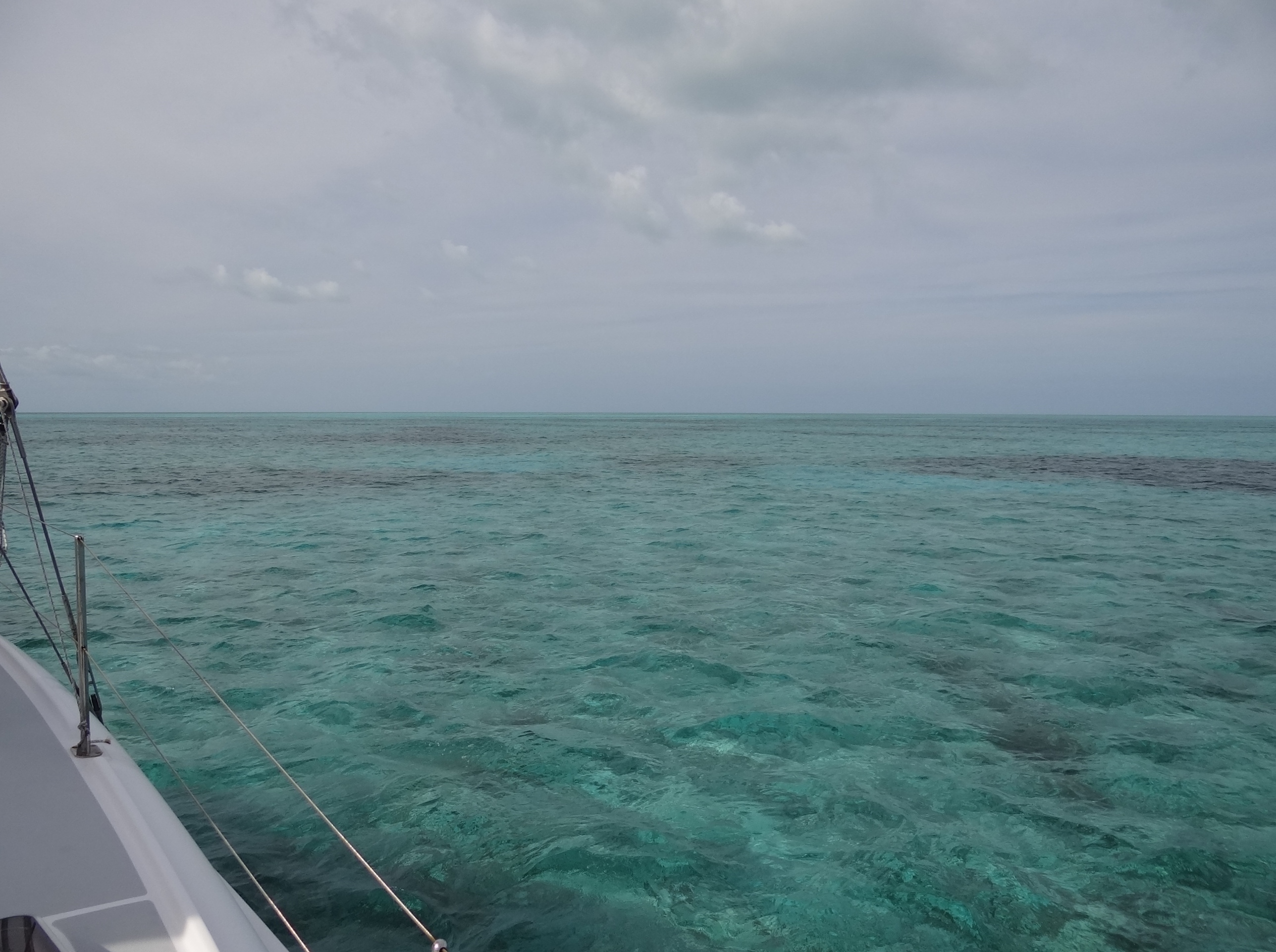
Anchored in Goodwill Channel, looking Northeast at nothing but water
Around 5:30 a sailboat came down Goodwill Channel and we watched her go around and enter the marina. Umm, s/v Bad Betty perhaps? Then we hear the dockmaster calling, “sailing vessel attempting to anchor in turning basin, this is Old Bahama Bay.” No reply. Again. No reply. Third time brings in that charm thing and s/v Bad Betty answers. Oh boy, the anchoring baddies. A very annoyed woman returns, “I guess we were mis-informed.” You know that tone of voice; I know it’s one I would be tempted to use, but know better. (at least not over the air waves) Then when she asks the dockage rate, the dockmaster says they don’t discuss rates over the radio. Can you picture the faces, screwed up, pissed off and steamin’ mad? Entertainment for the rest of us who enjoy a diversion from thinking about the upcoming night and the 80plus nm trip on Saturday.
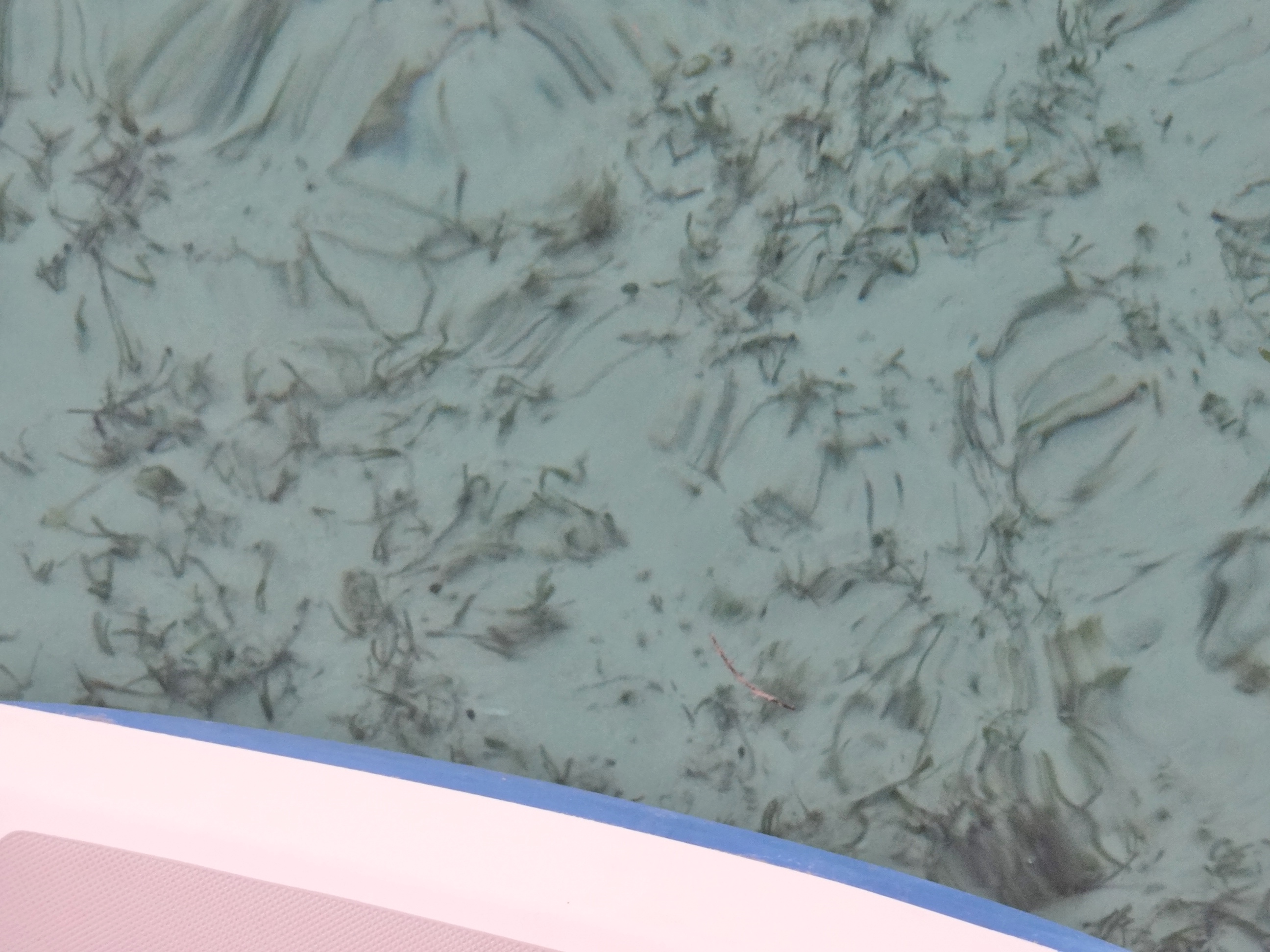
A clear view in 5ft of water near sunset
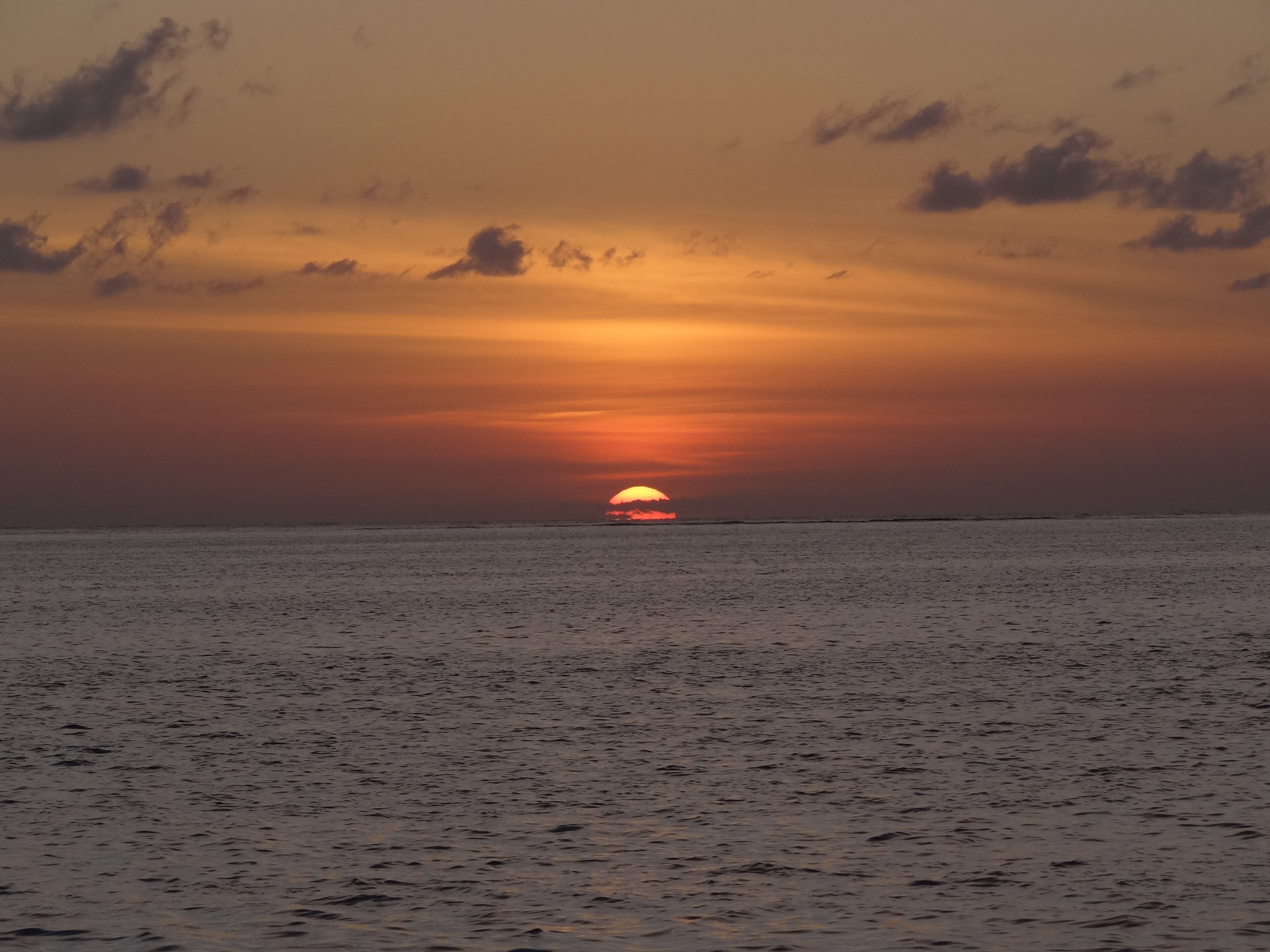
Sunset off West End, Grand Bahama Island
Step Three: crossing to Ft Pierce, an 88nm trip that took 14 hours. About 6 hrs able to sail. We allowed 14 hours so that our coming in to the channel would not be right at full raging out ebb tide at over 2kts. This meant the alarm chimed at 4am; nice and dark with some West End land lights helping. Our path in was the same as we’d take back out to the channel that led from the banks into the ocean.
Having a path to follow when you can’t really see is immensely helpful. Within 10 minutes of raising the anchor (and securing it too!) we’d left the banks and were in open water, crossing through small breakers we knew were there, but we hardly felt them. By this time the wind was blowing around 16kts and the angle would give us an excellent sail. I always dread raising the main in the dark when I can’t see outside and can barely read the dimmed dials. But when you do this out on the open water, no other boats, land or objects close-by, the fact that you have to do this by instruments and the Captain’s direction only, is no big deal; it only feels that way.
We zoomed along between 8 and 10kts, hitting 10.4 for a few tense (only for me) seconds once. The swells were coming at our stern quarter, maybe 4ft high but a comfortable 10 seconds apart. No matter; I wasn’t too keen on looking. By sunrise, the wind dropped down and for much of the remainder of the day, was generally no more than 10kts- oh and it shifted, which made sailing very difficult.

Sunrise… and the seas are down, so too the wind and with it our speed
The northward pull of the gulf stream means us slow boats need to set a course at least 20 degrees less than the 305 degree heading called for to get from West End to Ft Pierce. Sails up and down, in and out. Heading changes; yep at least 50. An active day passes the time. A couple of hours out found us motoring in flat, calm seas as the ridge of whatever weather moved out, down, or away.
Did the flag exchange and when cell service was good enough, Russ called to clear us in. Easy. Switched the chip in my phone to remove the Bahamas one and put my U.S.one back in. We anchored for the night behind Causeway Island, the same place we left from on Dec 1.
Sunday would find us on a T-head at Ft Pierce City Marina. Hanging out to have our Frigoboat freezer repaired (please,please), re-provision, deal with misc chores and maybe some historic downtown sightseeing.