The steep road ends at the NE corner of the harbor
As the first capital of the Bahamas, Governor’s Harbor ran the country for a time. The settlement reminds one more of Hope Town than say, Rock Sound. Colonial houses and businesses sit colorfully placed on the roads and steep hill around the harbor’s gentle arc. Architecturally charming, with Bougainvillea cascading over garden walls, the community is pleasing to view and walk around. Cupid’s Cay forms the SW portion of the harbor, connected to the mainland by a narrow causeway. The antique remains of buildings sit in stark contrast to a very new and well stocked Bristol liquor store.
Our plan for Saturday included a breakfast-time visit to the bakery (very good per ActiveCaptain reviews), a walk up and over to the ocean, lunch in town, boutique visits, grocery stop and a visit to the Haynes Library, built in 1897 and the largest one outside of Nassau.
Launching Bunting and getting in her at 8:30am in the still swell-filled harbor was an exercise in caution and creativity; one we executed well. The beach is wide and shallow all the way to shore and when the tide is out you have a long ways until the outboard can be used. High tide was around 10am so we anchored on the beach, bow out and dragged her up a bit.
The bakery sat on a residential side street and we found it easily. Their donuts (glazed and sugar/cinnamon) tasted as delicious as my faves at home. We ate those and brought back some coconut danish for another day.
I didn’t notice this when I took the photo- can you spot what I mean?
The road up the hill led toward the ocean beach. The houses were so pretty and well-kept.  When we got to the end of the paved road, the options were to turn left or right; both ways had unpaved roads and neither was beach-obvious. I noticed a narrow, worn path in the grass and bushes ahead of us; pointed toward the beach. We tried it but it definitely was not the way.
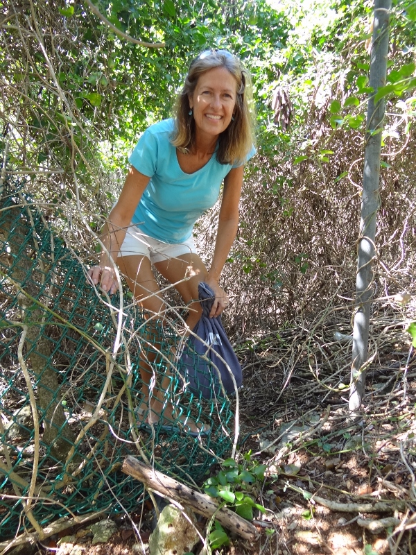
Through the bushes and past a wire fence; ok, not the way
We finally made the right choice and found the beautiful pink sand beach, devoid of any beach treasures sadly. Did a dinghy check as we walked past on our way to Cupid’s Cay which is where the govt docks are. Each time we walked by, we pulled Bunting down closer to the water as the tide went down.

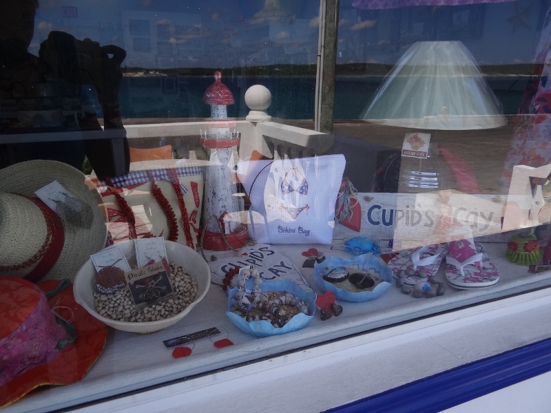
This boutique was closed for lunch which probably saved us a bundle.
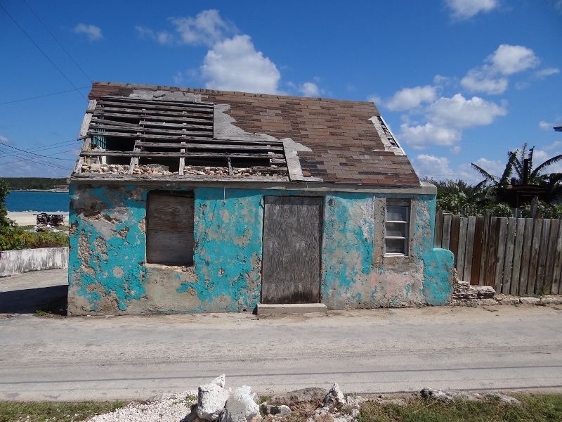
Several like this one were for sale on Cupid’s Cay- maybe worth it for the land
Across from this antique structure we came upon the nearly new Bristol liquor store. Russ was surprised to find Goslings which is rare to come across in the Bahamas. Bring on the Dark ‘n Stormies!
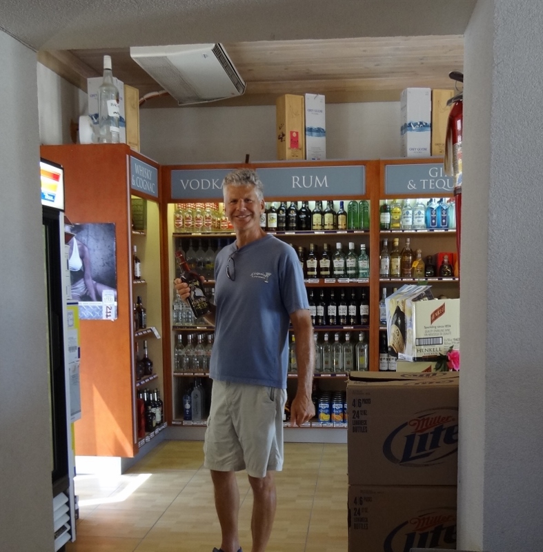
A happy Captain finds more Goslings rum
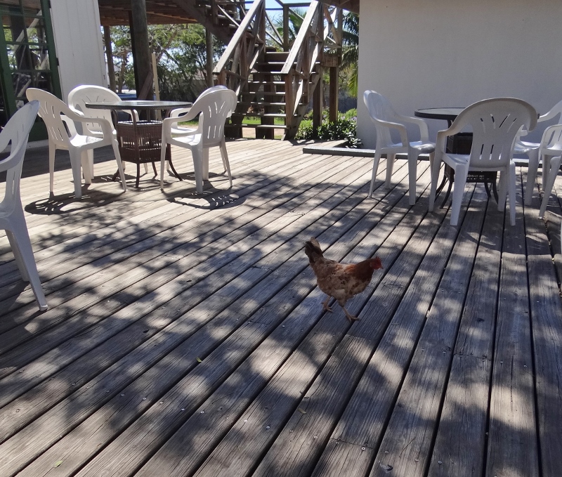
Chicken for lunch? Dining on the deck at the Buccaneer Club
The Buccaneer Club looked like a good place for an outdoor lunch; we’d walked past it earlier on our way to the beach. The inside was inviting and comfortable, with a colorful mural behind the bar, but the action was outside. The instant our meals came out (conch fried rice and fish sandwich) a thousand flies swarmed us, the food and ugh! I immediately covered my fried rice with my paper napkin and swatted furiously while the waitress brought out a lit Sterno can. Within two minutes only a few brave flies remained; it was amazing.

Creative spelling
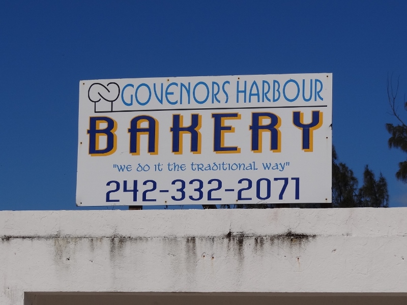
I had a good chuckle when I looked at their sign tacked up on the wall. Those who know me well know I can’t help but notice these things. Spelling, especially on signage, seems to be a bit problematic throughout the Bahamas (but it’s not exclusive to here for sure!)
Check (hopefully you can see the photo well enough) how Wed and Sat are spelled out. 🙂
So, did you notice the problem with the bakery sign?
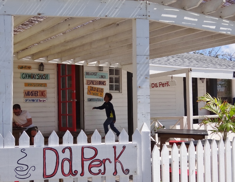
Coffee and other tasty beverages, plus other ‘tings! Cute place on the harbor road.
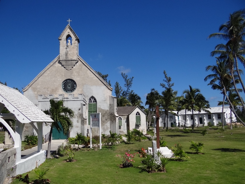
St Patrick’s church with the parsonage to the right
The road that runs along the beach gets a salt water washing at high tide and during the times when westerly winds send large waves crashing to shore going up and over the short cement sea wall. Many times, especially near dark, we’d look toward shore and the water looked to be as high as the cement wall.

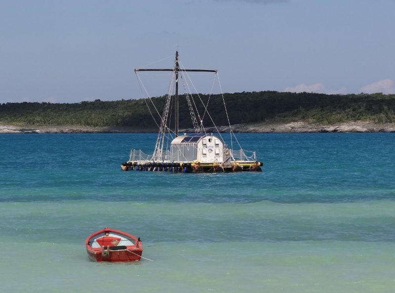
This is fairly calm conditions near high tide. Note how the boats are still feeling the effects of the swells
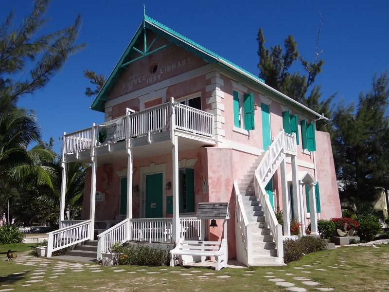
Multi-story Haynes Library sits at the harbor’s edge
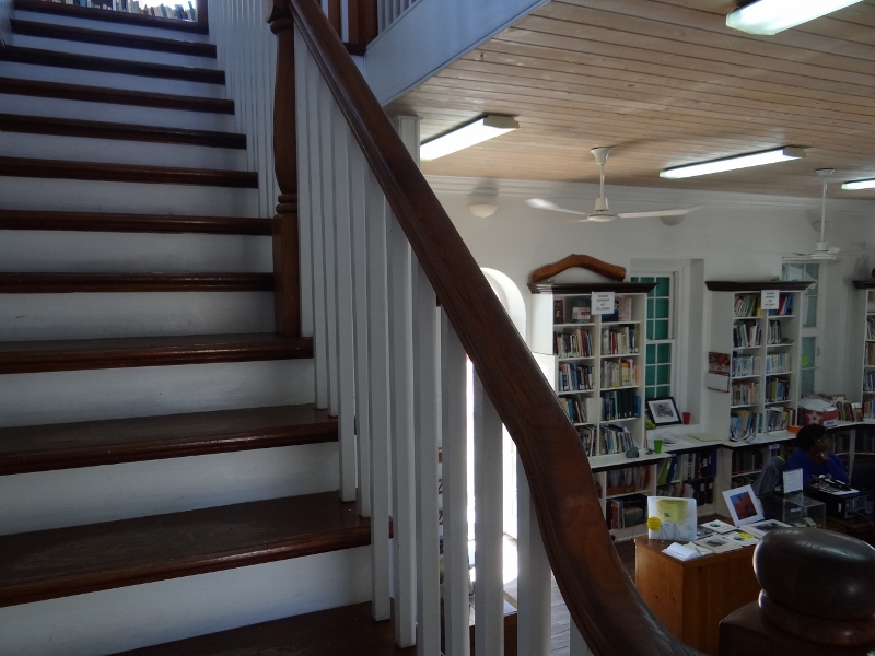
Attractive interior, upstairs offered a lovely harbor view, reading nooks and a table with computers
Last year the word we’d gotten was that Gov’s Harbor wasn’t really worth a stop. In spite of our memorable first two days, we have to disagree. We found it charming, active, friendly and filled with most things a cruiser would want within easy walking distance.
The grocery was good and even had one item we’ve never seen in any market here before and can’t understand why: coconuts. I mean they are plentiful here, so why not remove the husks and sell them? A bottle of purple nail polish caught my eye and at $3 I thought it was a steal.
Later in the afternoon-oh around 3pm we left for Alabaster Bay, about 7 nm north.