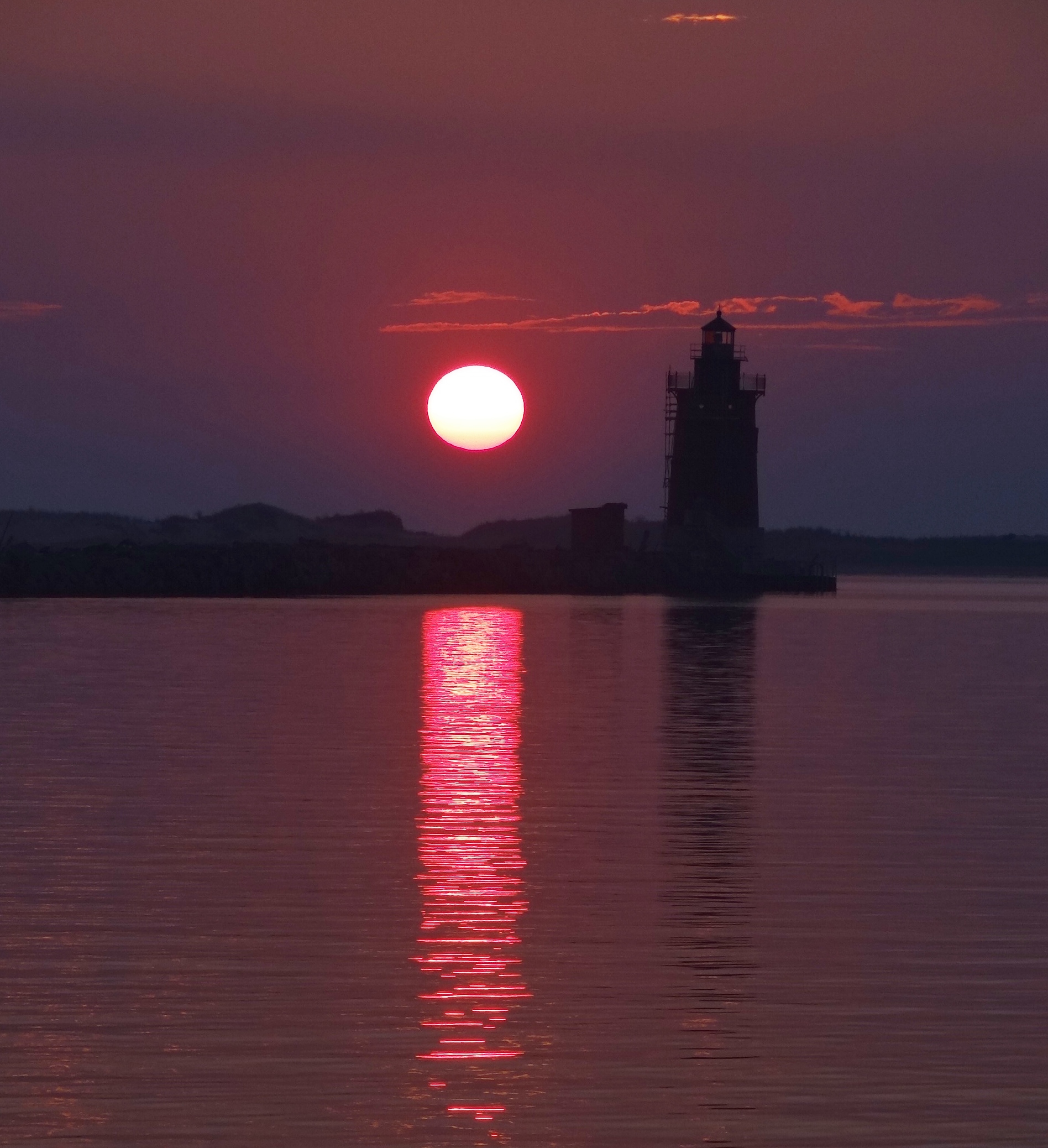
Looking across the Sassafras from our anchorage
Need I say more? As we peered into the weather or not crystal ball, Monday’s event was to give way to a one day break before a coastal low would sneak in Tuesday evening and hang around long enough to mess up our sail repair plans for St Michaels. Annapolis remained in play and Russ found a great place to anchor near a park with dinghy access.
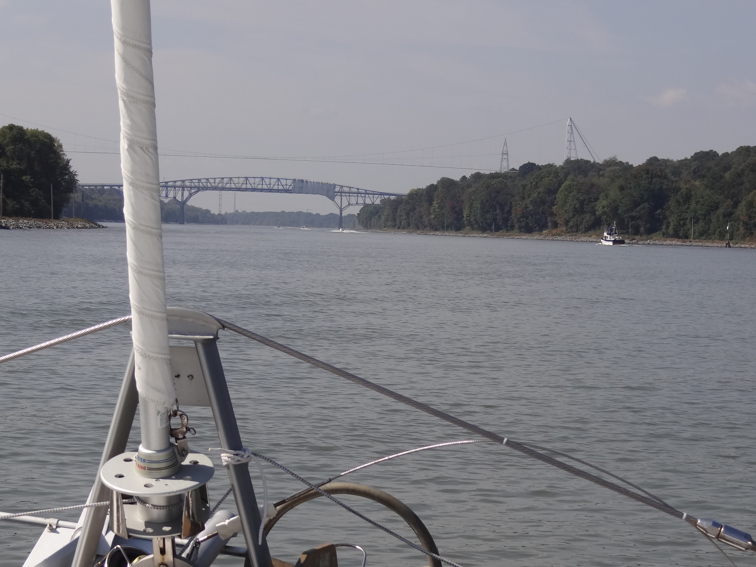
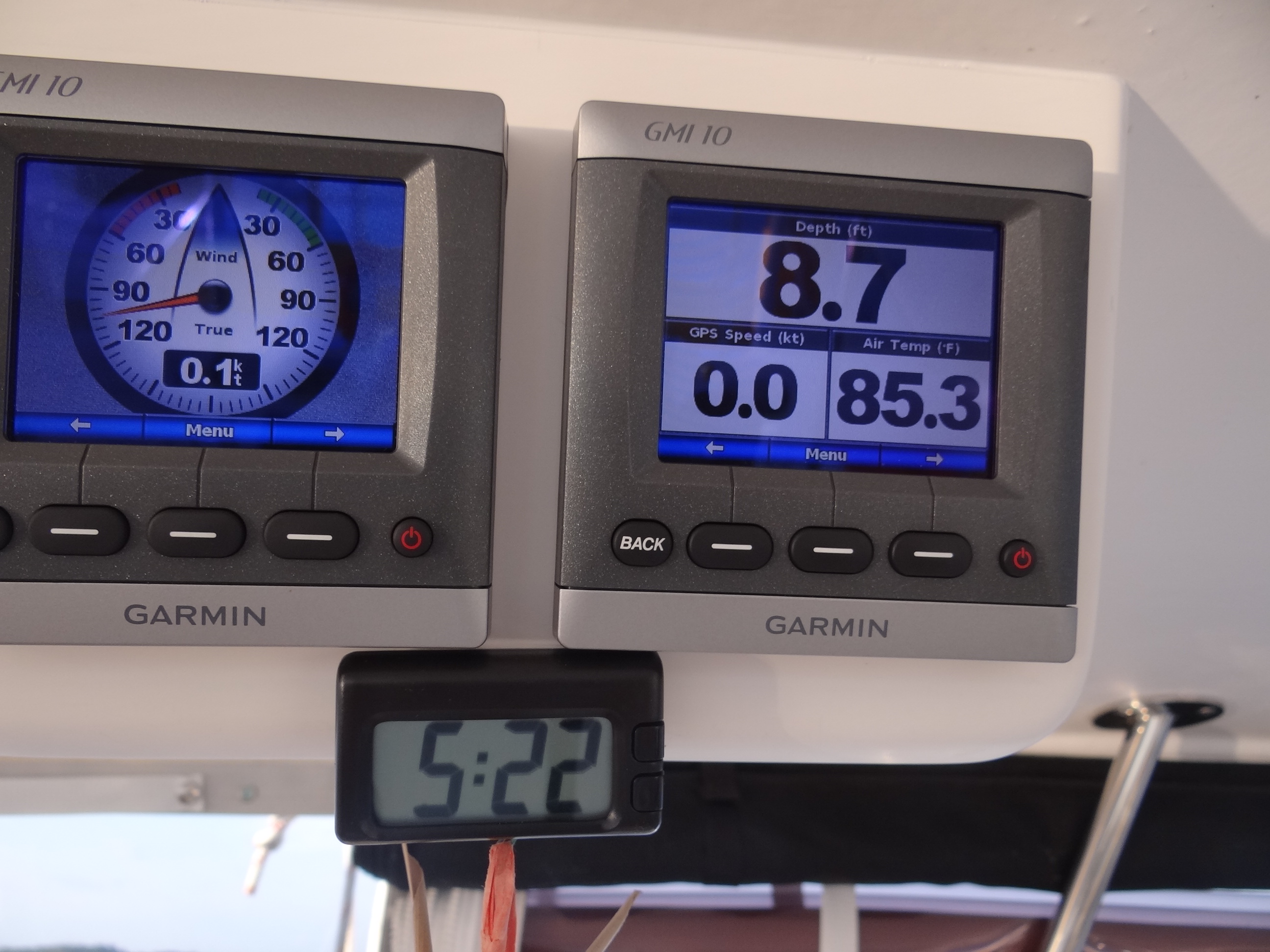
Once the fog cleared enough on Sunday we bid farewell to the Sassafras and hung a left (that’s south for you precise nautical minded folk) down the Bay, our Baybeard in full display above the waterline. Alas, no sailing as the NE winds couldn’t muster more than 8kts but we had a favorable current (have you noticed our good luck in this regard?)
Our destination today was Bodkin Creek on the opposite (western shore) where we’d have protection from SE to N winds, great cell service (so I can catch up on these posts), no fetch whatsoever and pleasant surroundings. Only one other cruising boat was nearby. For the past two days we’ve been underway with one of the front panels rolled up; an extremely rare occurrence outside of the Bahamas. Thanks to this heat wave and barely breezy we enjoyed the fresh air and an improved view.
We greatly enjoyed happy hour on the bow as the heat wave continued
The trip of 32 nm (roughly 37 land miles) took five hours and if we didn’t have to dodge crab pots we might have dozed off J. The creek is lined with attractive homes most with small docks or lifts for their boats, and plenty of trees to keep that natural look. Monday’s event was, for us, mostly hype and little action- thankfully. Plenty of rain and the temp dropped from 73 to 64 in five minutes. Tornado warnings in the vicinity made my stomach churn but we had only a few gusts to 25; they felt like gentle nudges.