I always take an extreme amount of pictures; this is generally accompanied by a statement to the effect how great for amateur photographers (and those of us not even in that league yet) that digital rules the world now… and you don’t need a camera the size of a breadbox to snap a great picture, or even one with a special zoom lens. Why, our iPhone 5 takes incredible pictures and uses its flash more intelligently than my Sony Cyber-Shot, so you don’t even need a camera anymore.
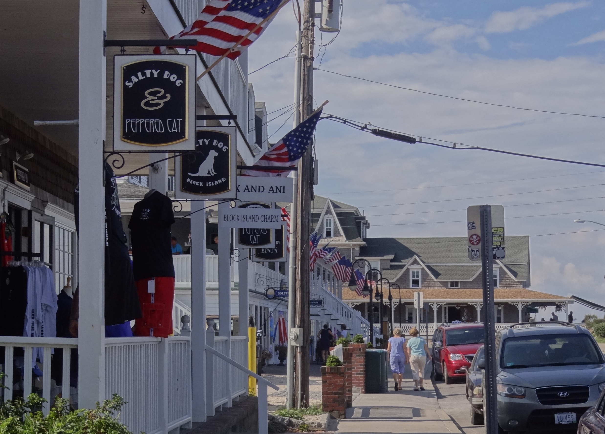
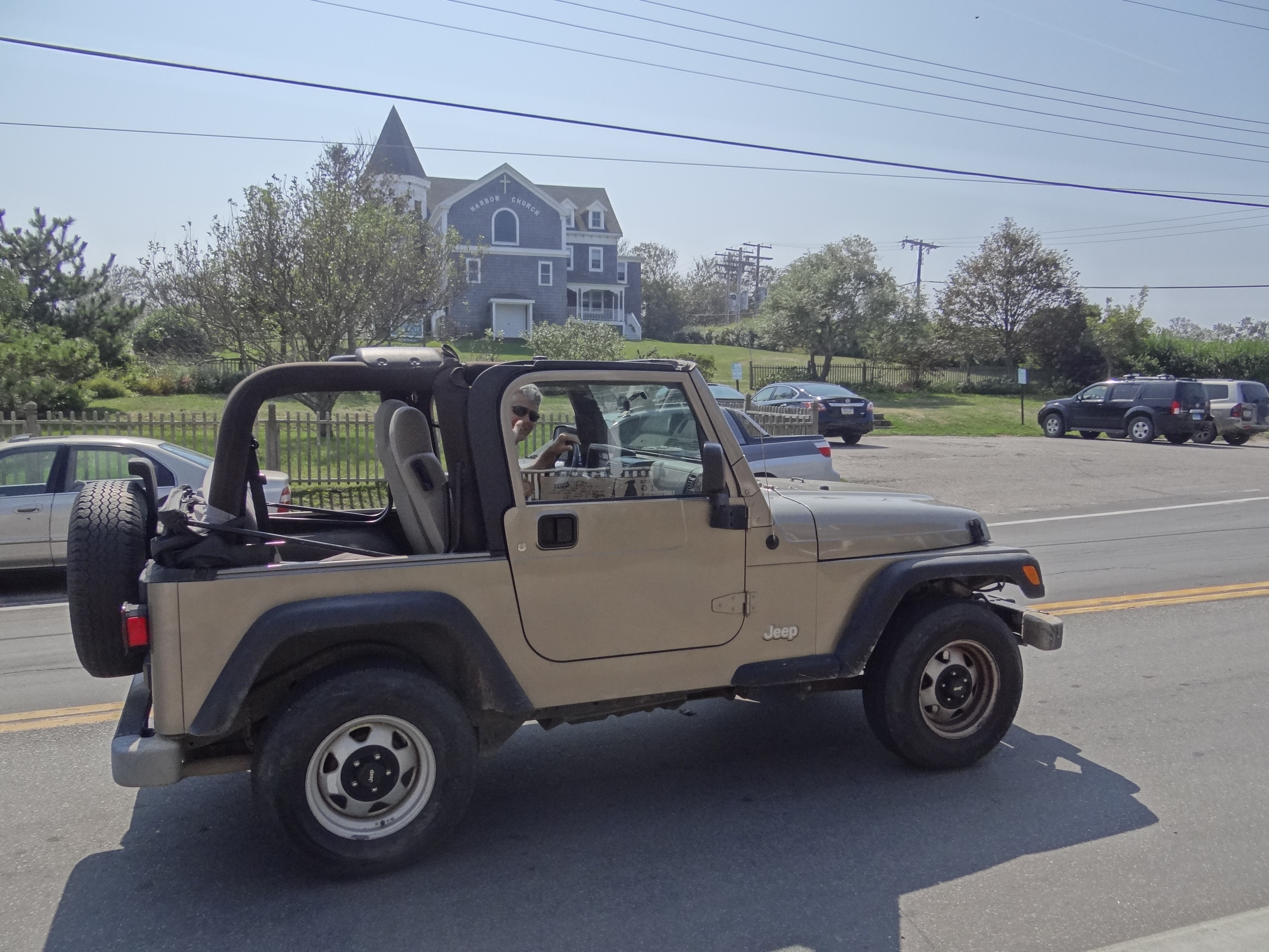
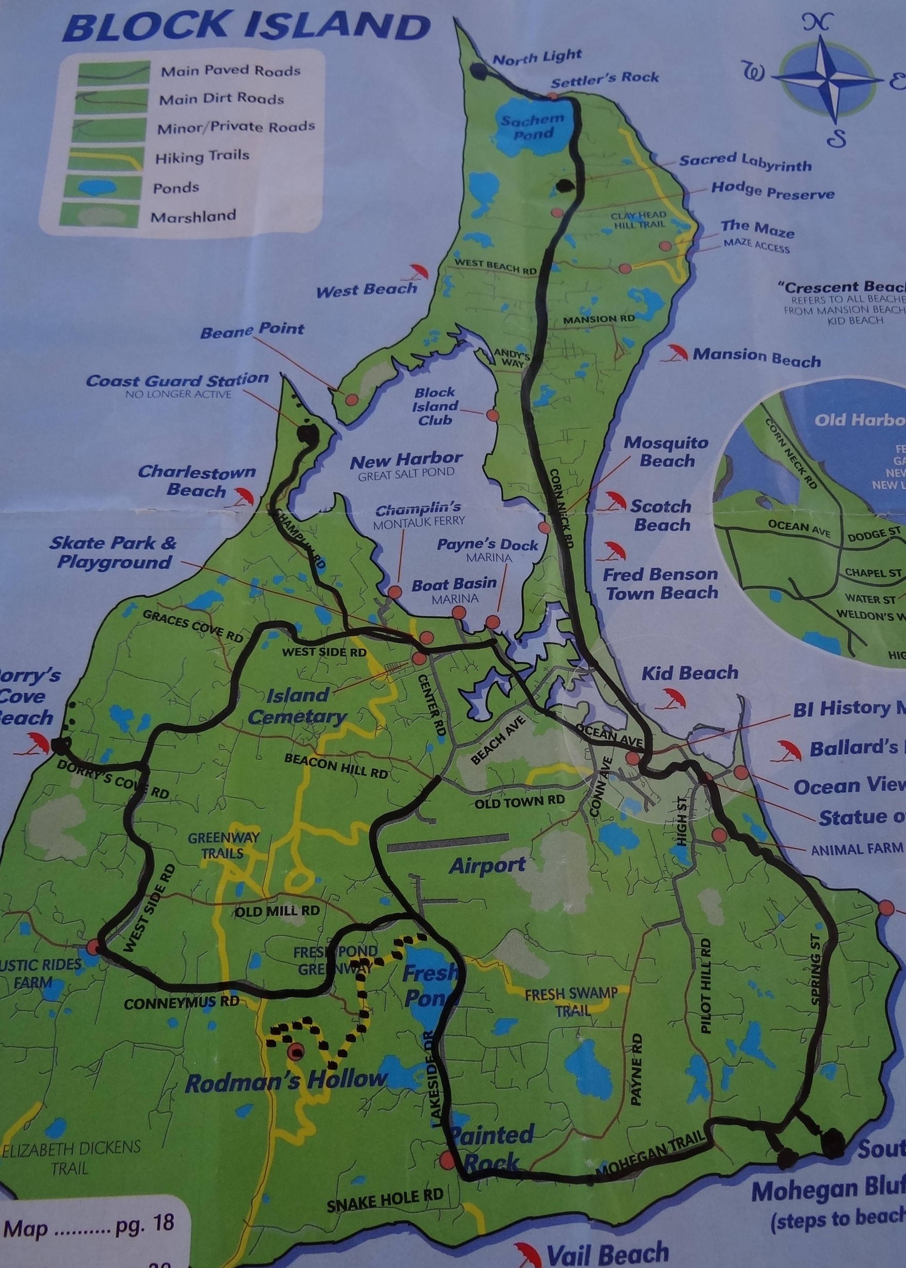
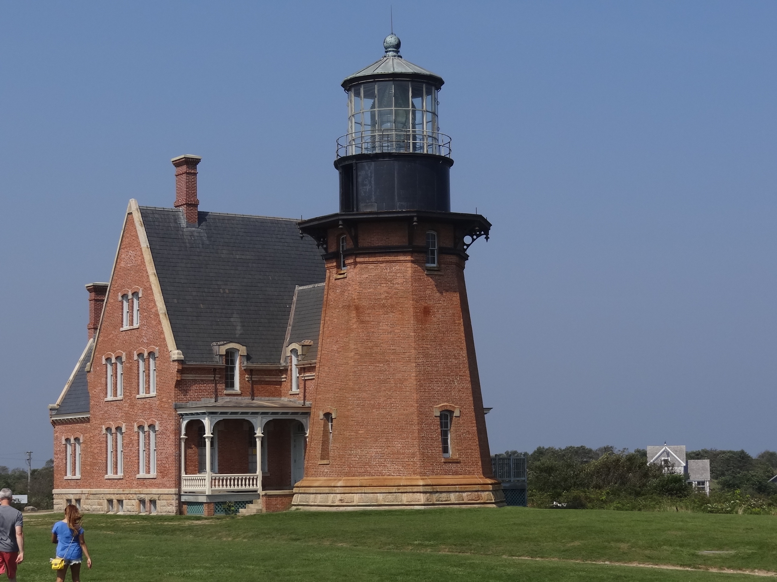
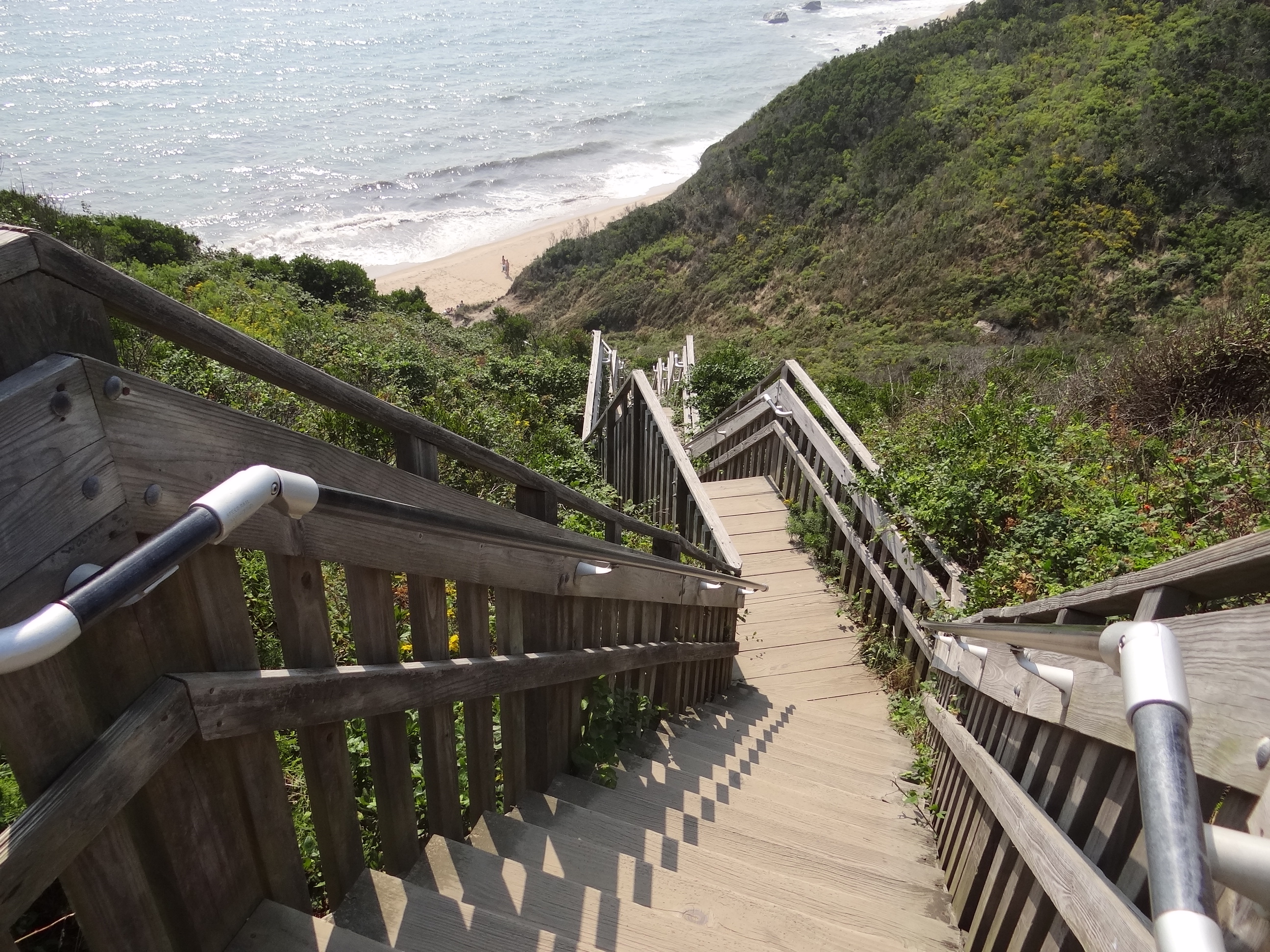
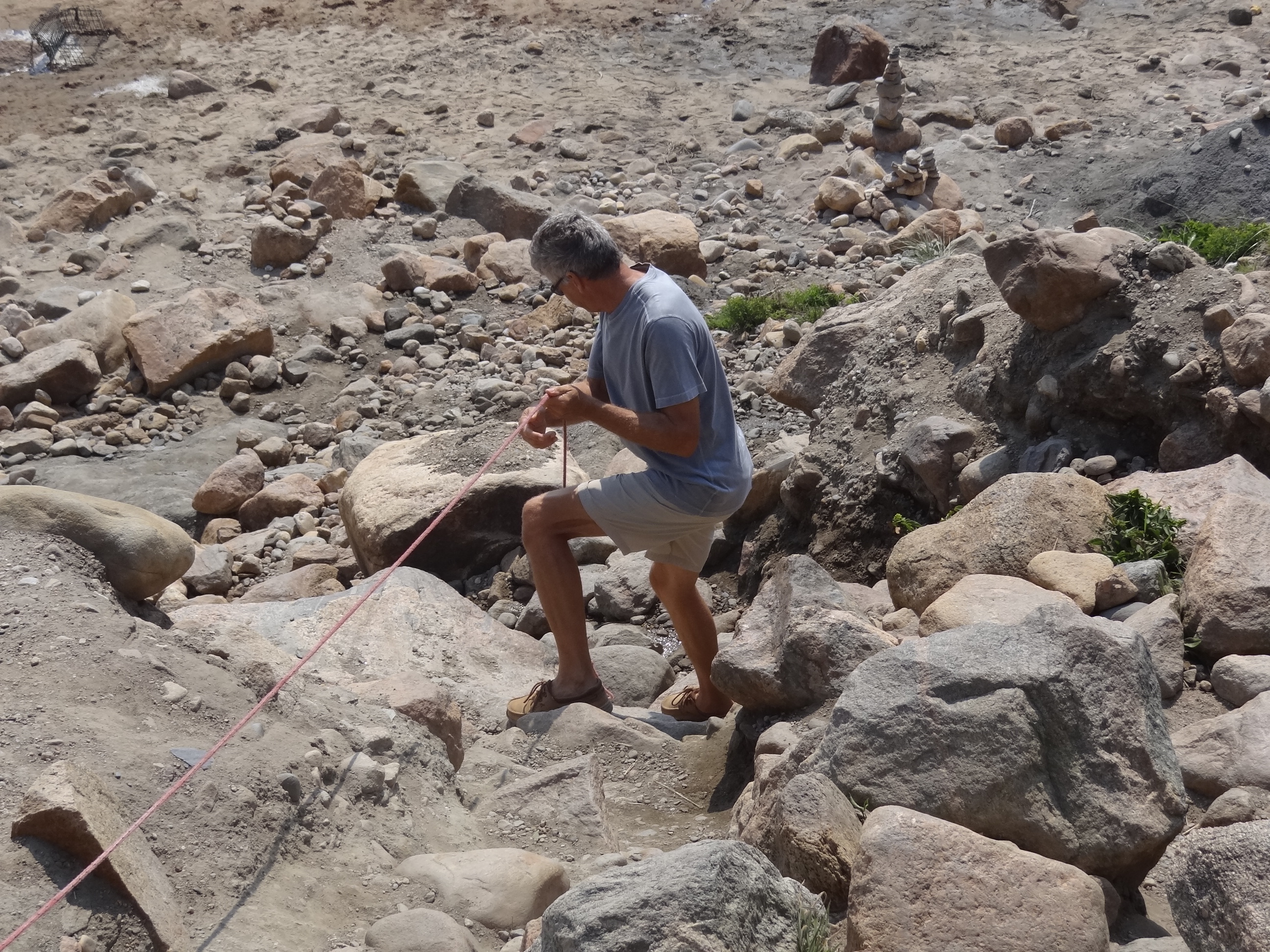
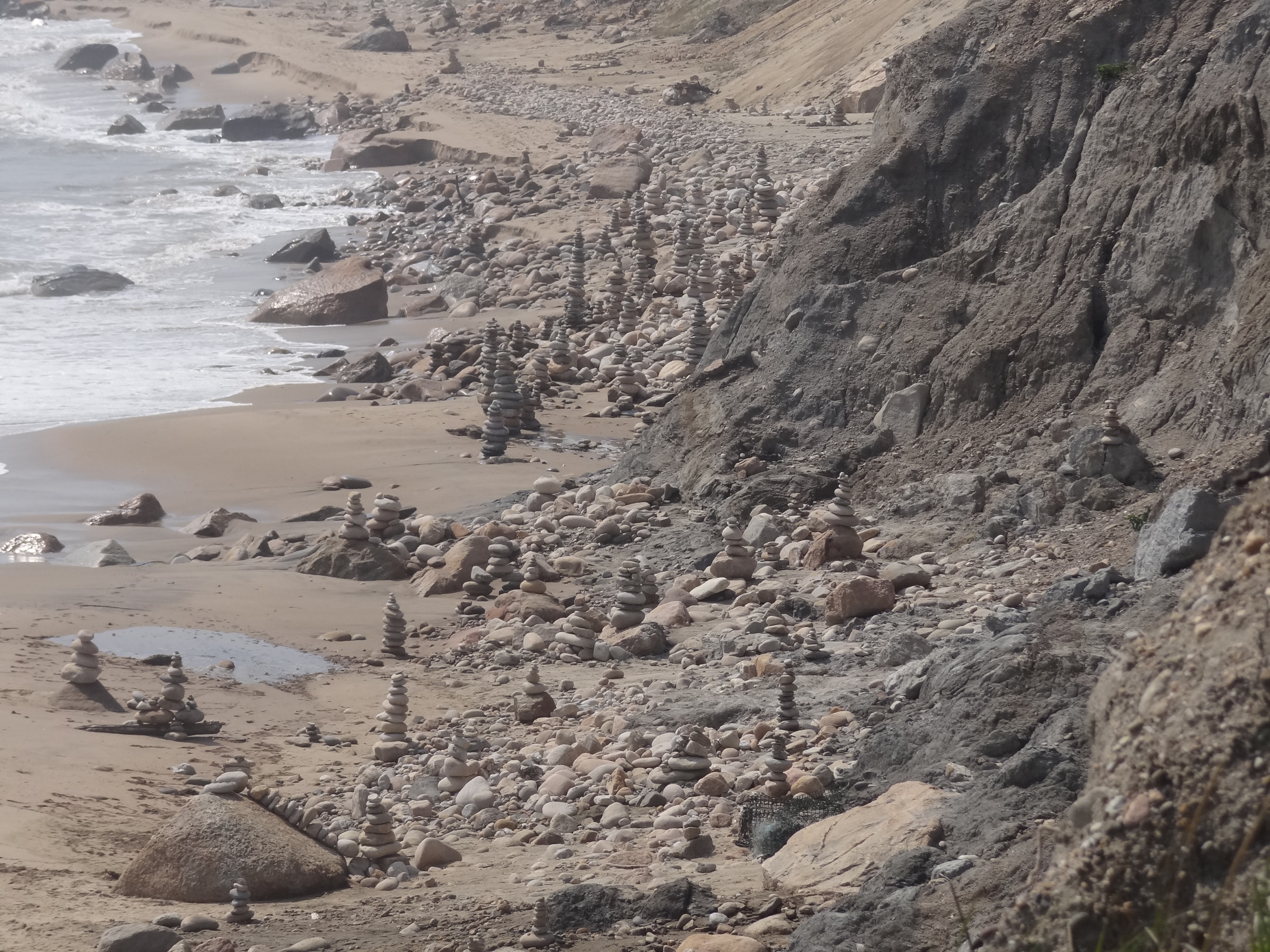
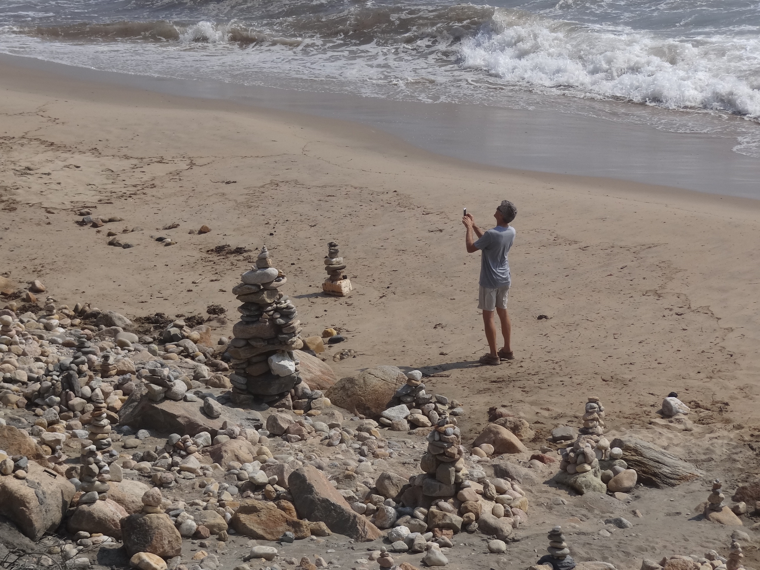
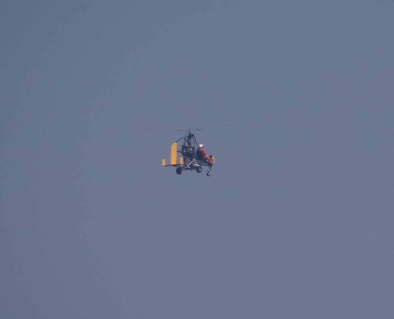
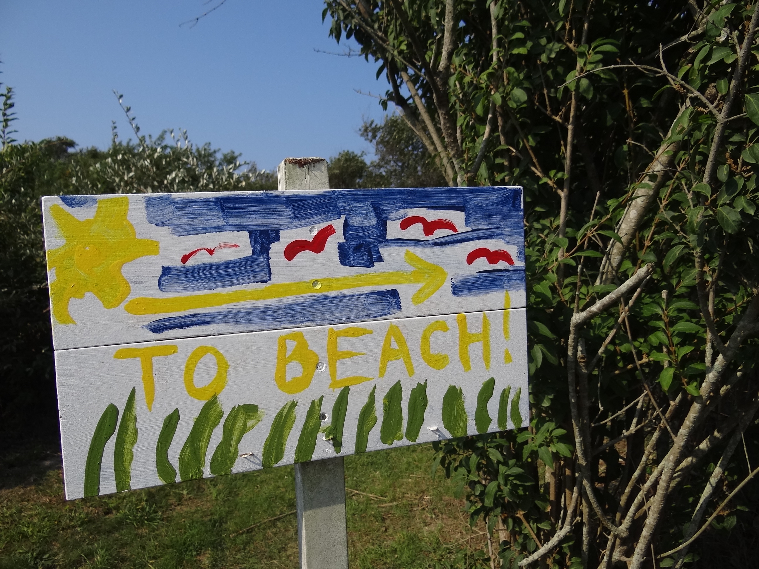
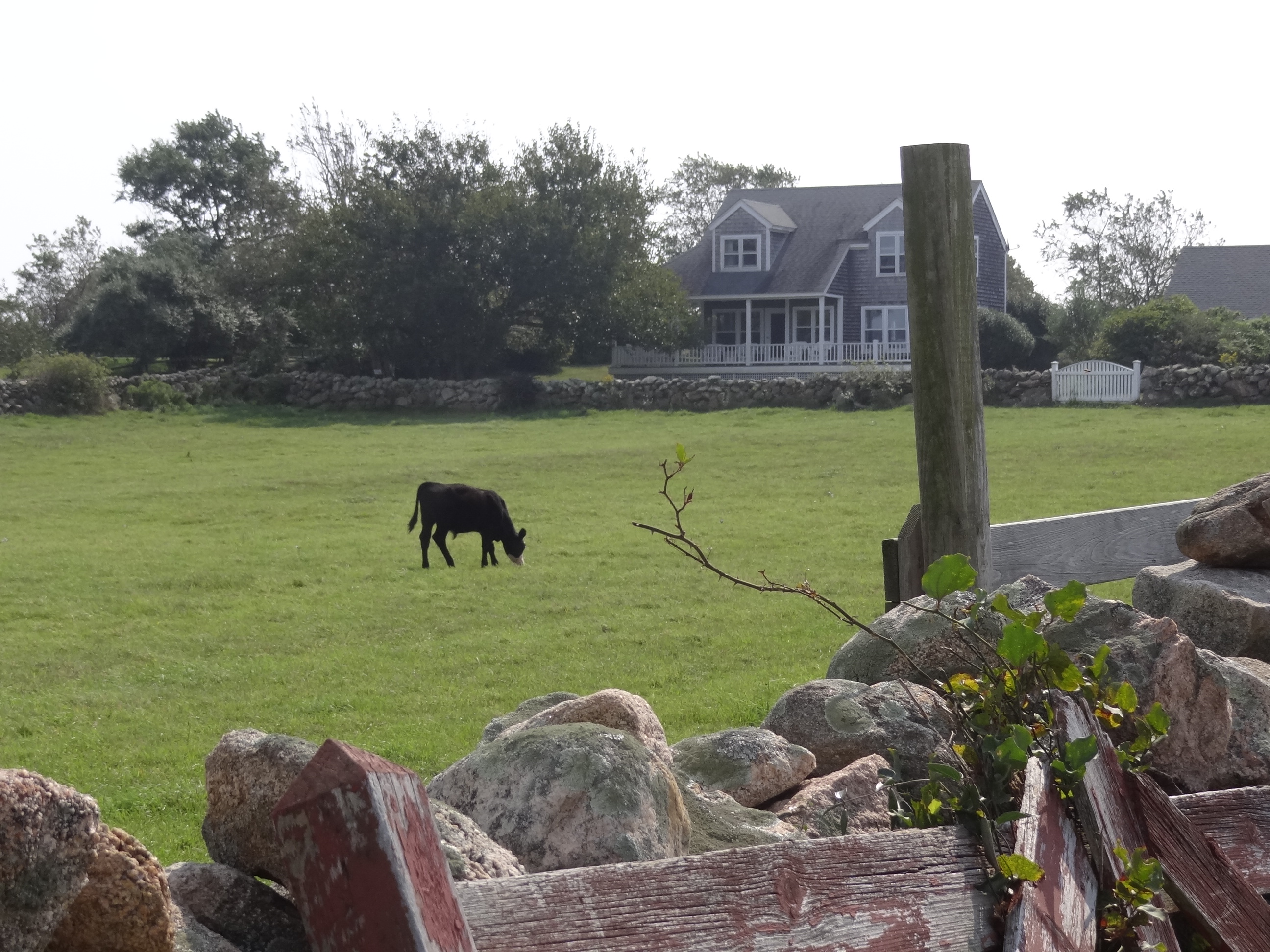
Here’s a bunch of pictures of other Block Island sights, sites and sightings! As lazy as we were, we still managed to walk around every day, either over toward Old Harbor or around New Harbor, or places in between.
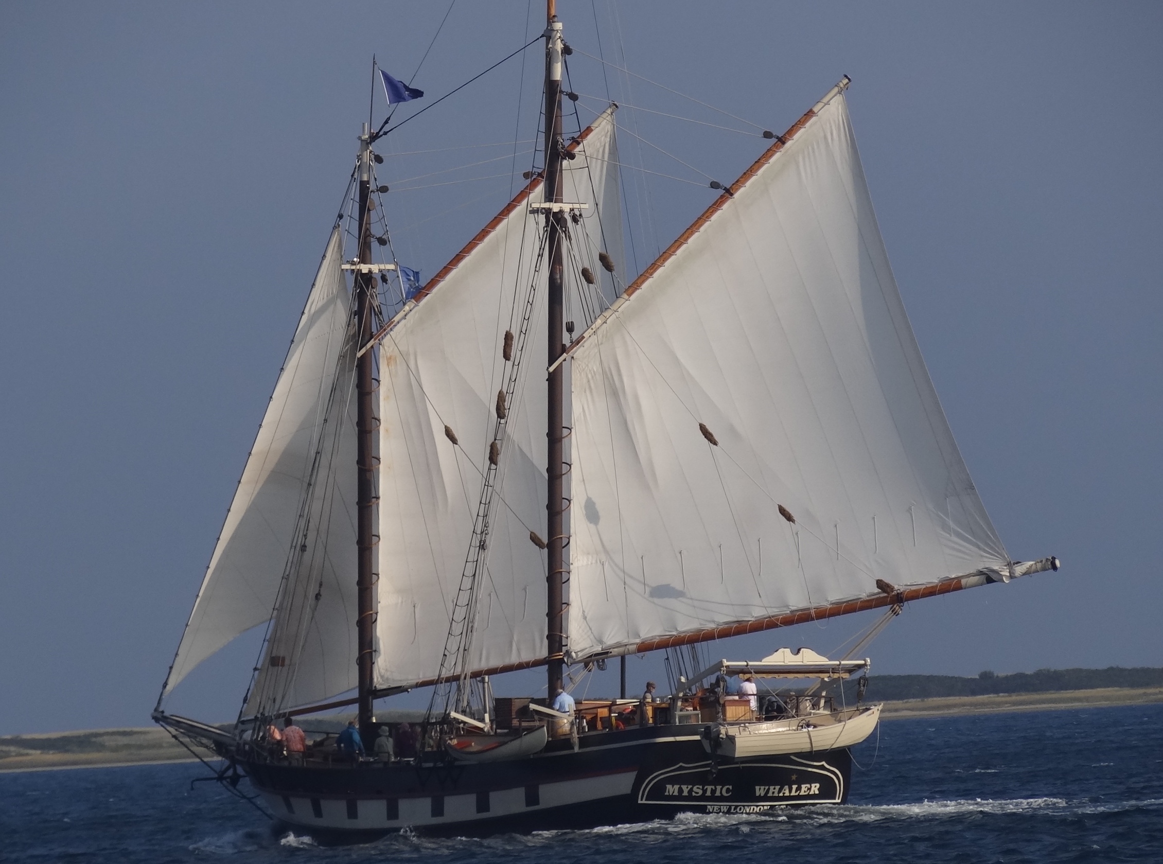
The Mystic Whaler spent a night and in the morning sailed off to Sag Harbor
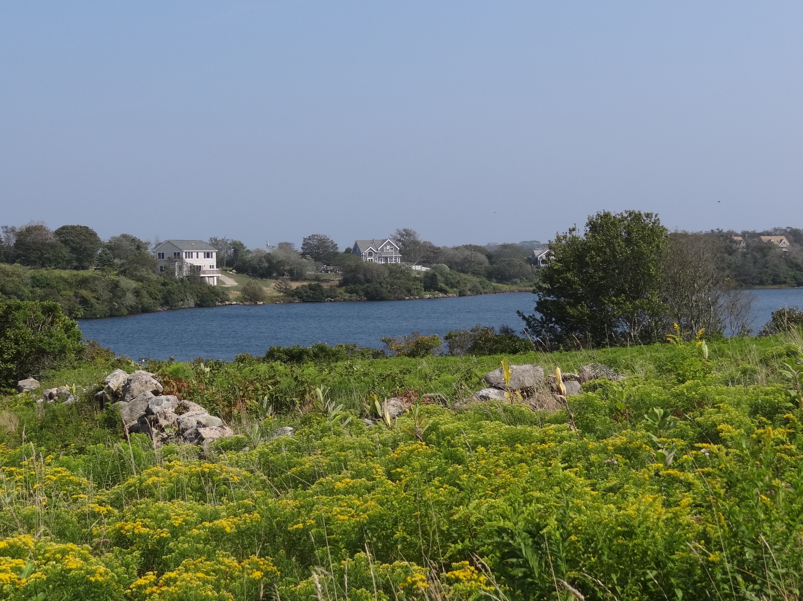
Red Gate Farm across the road from the Boat Basin in New Harbor
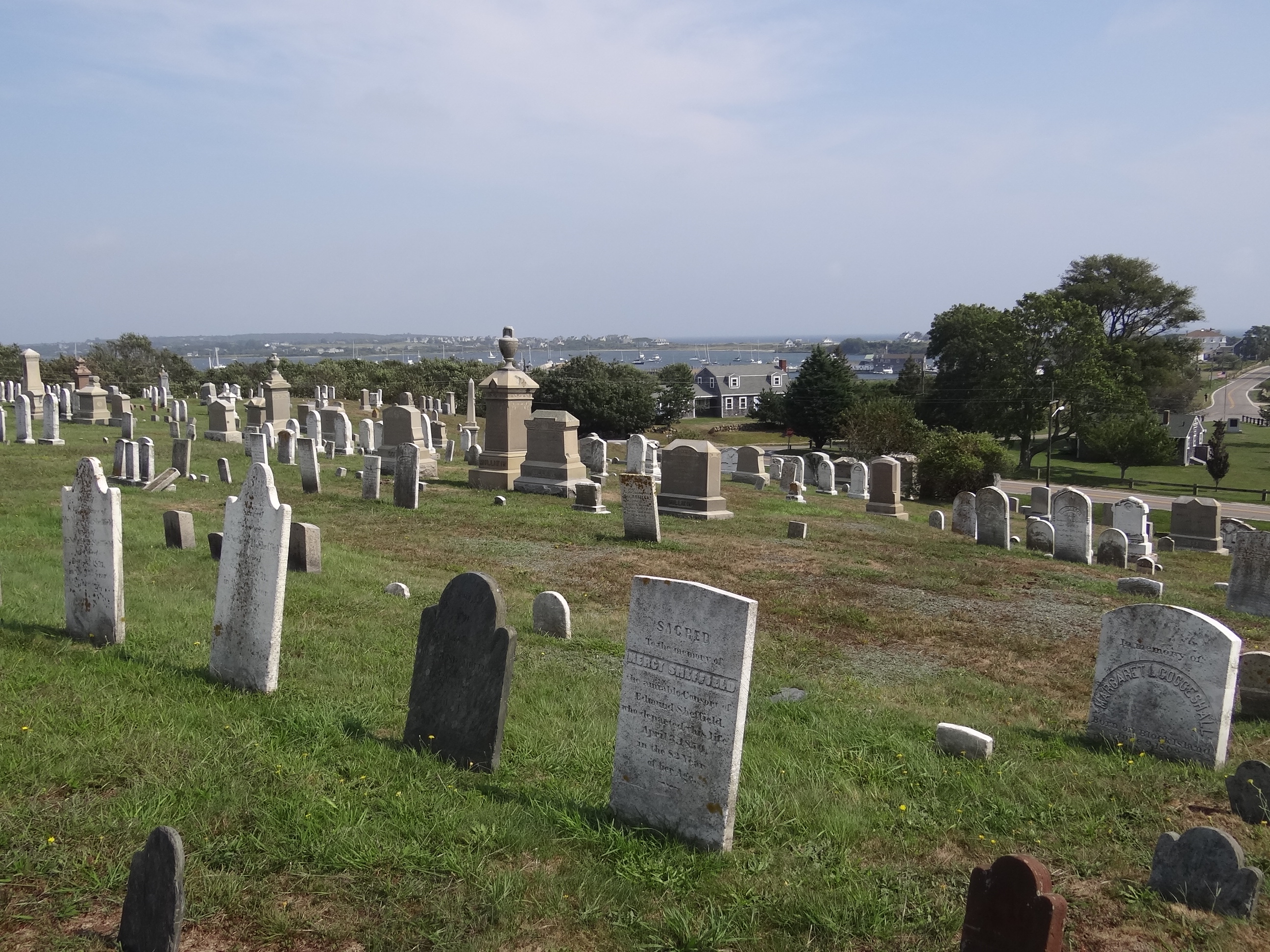
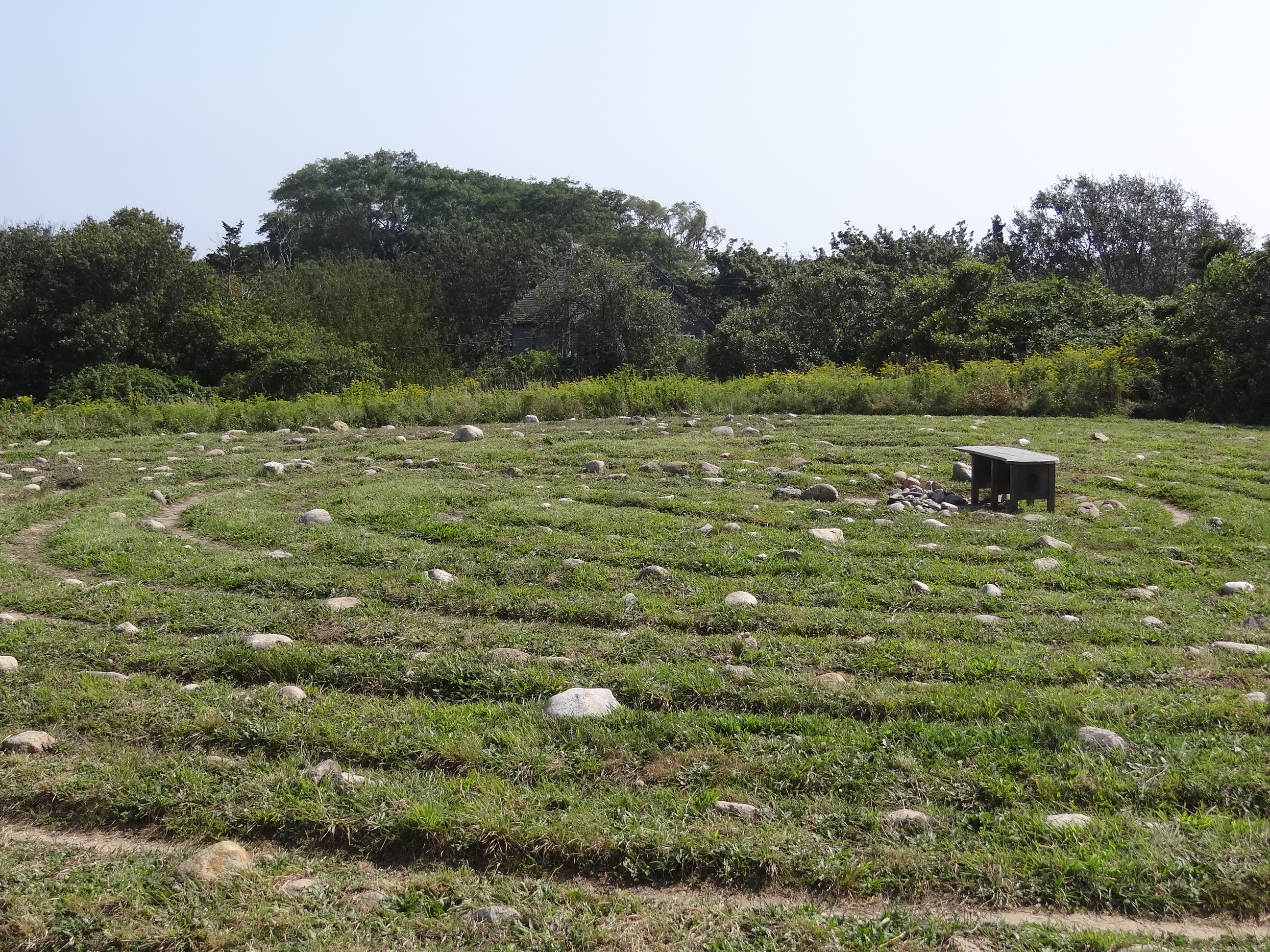
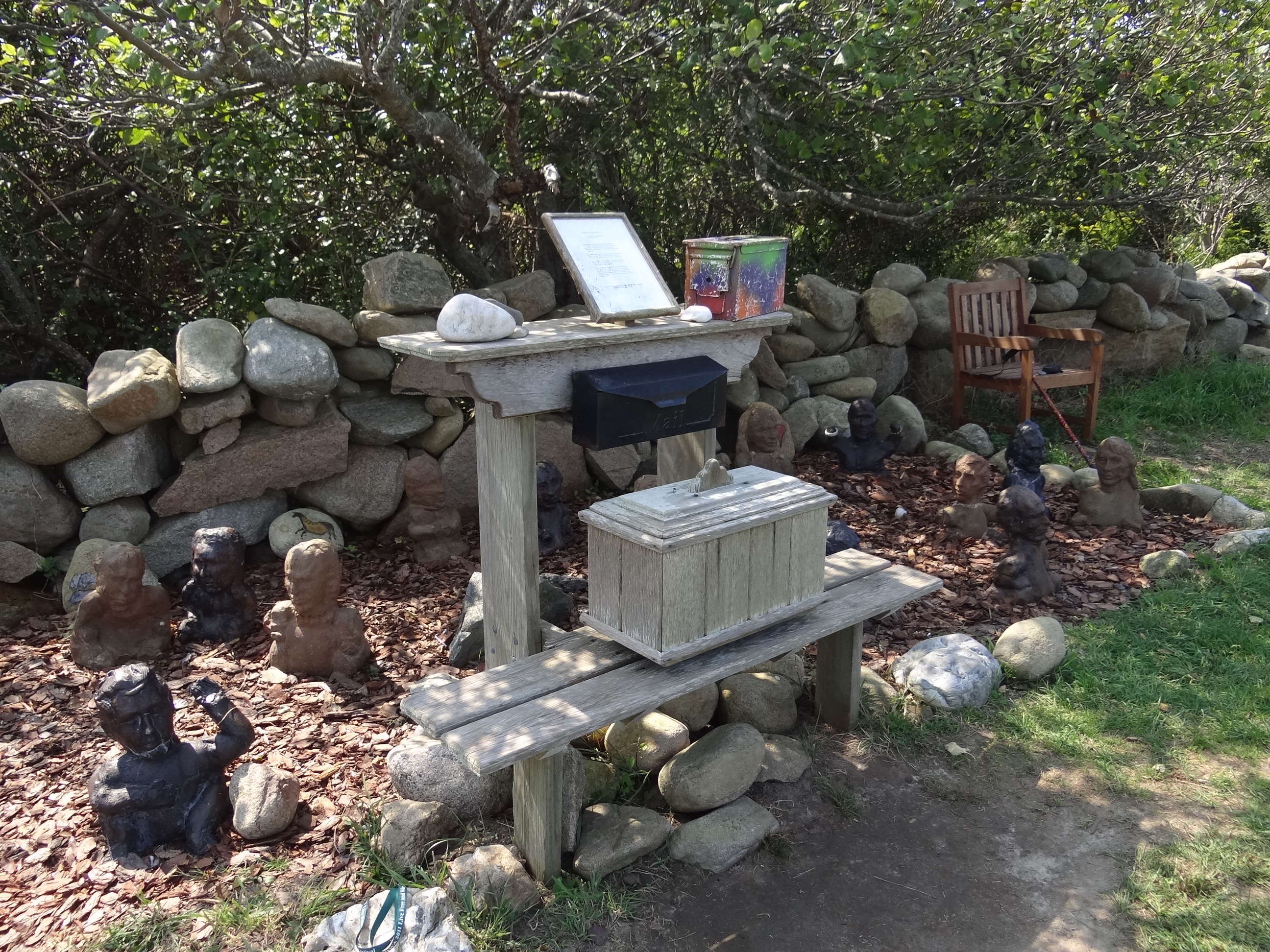
The island cemetery offers a lovely view

Doris Payne passed away in 2004 but her Killer creations live on- 50yrs this year
Many families have lived on Block for generations and names such as Ball, Payne, Littlefield, Dodge and Champlin are well known across the island and you will assuredly run into one of these names as you shop and sightsee around. It was only a matter of time before this popular name combination occurred.
 Labor Day weekend 1989: our recently purchased 21′ Larsen, Lady L was ready for a long trip- but was I? We anchored near shore, with a stern anchor to keep us from swinging into any of our too close neighbors, near the house with the green roof- the location we’d give to the launch operator so he could find us in the harbor. We didn’t even own an inflatable dinghy back then. You know, in the good old days 🙂 In the middle of the night, the boat in front of us woke us up because he thought we were dragging; no, the wind changed direction- we didn’t swing but he did. I’m sure we appreciated his concern.
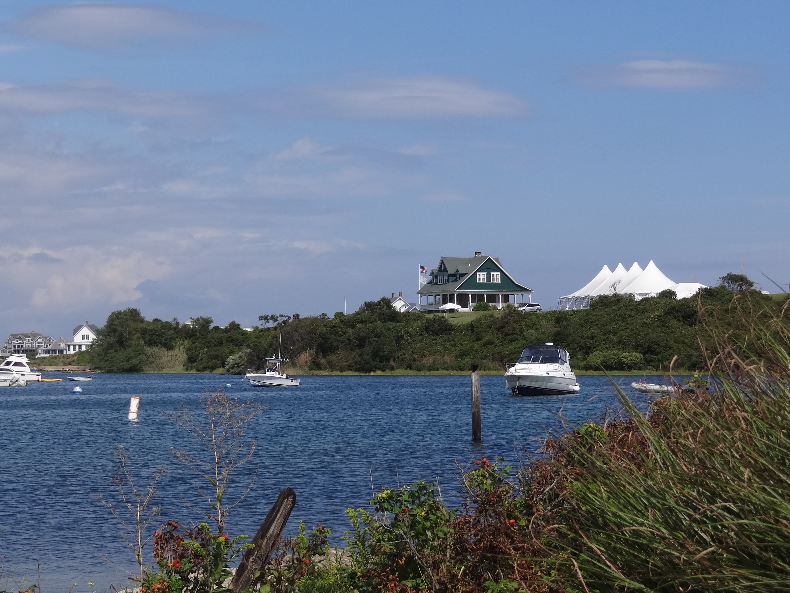
The House with the Green Roof readies for a Saturday wedding
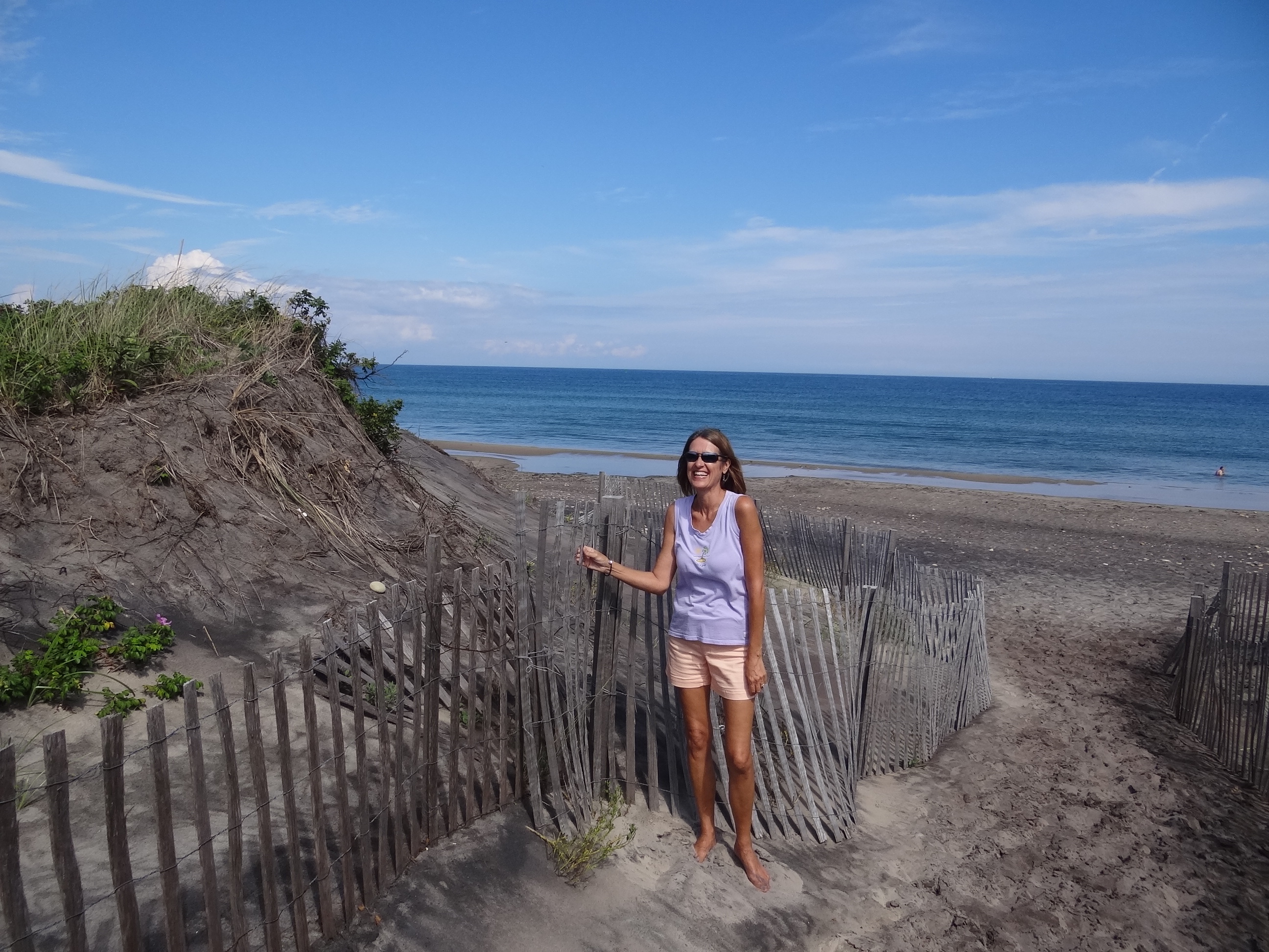
Crescent Beach- a lonnnnggggg curve of beach comprised of several beaches
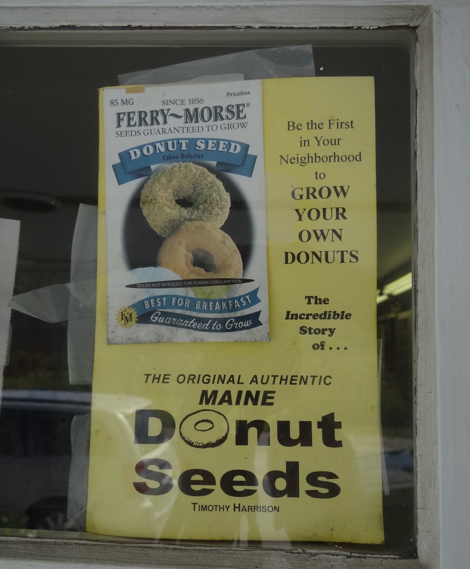
Some donut humor- sign in window at Killer Donuts
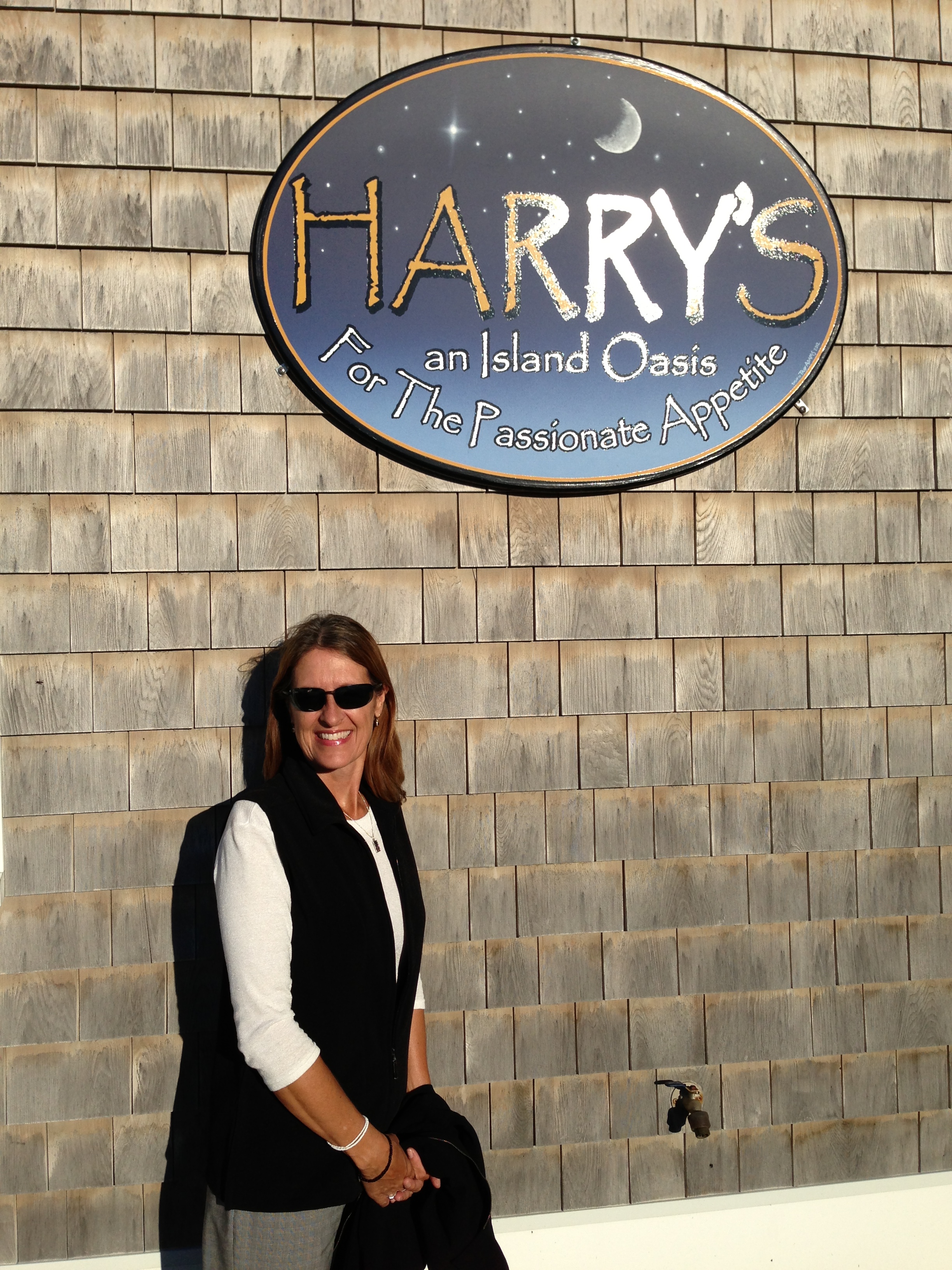
Celebrated my birthday two days early at Harry’s of Mt Holly, VT fame
Sunday arrived and with it a potential motor-sail back to Deep River, no rain in sight and the waves of Block Island Sound a benign one foot at most. We departed at 11am in order to catch a favorable current through The Race and west through LIS. That would get us back during mariners’ twilight, a delayed darkness occurrence I am thankful for.
A mile south of Essex we came upon several boats anchored on the river’s edge near marsh grass heaven Goose Island. RiverQuest arrived too as did the small sailing schooner the Mary E. Took a minute to figure out what they were there for- and I am not telling. Stay tuned as Ortolan prepares to hang out with feathered friends later this week.