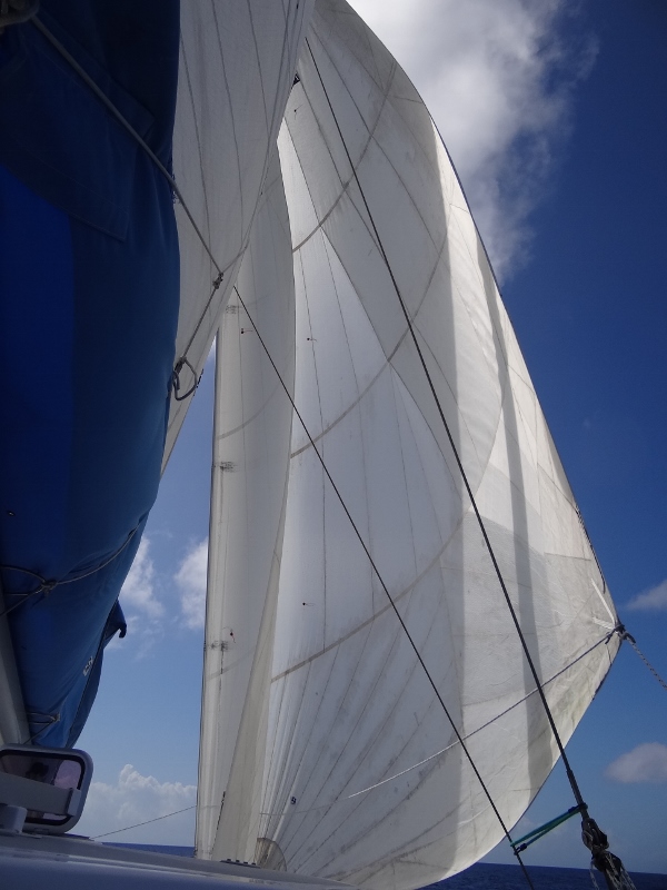
Occurs to me that this would be described as Three Sheets to the Wind
Never say never, so I will graciously allow that for ONCE the forecasting was right on, giving us a most glorious 51nm sail from Cat Island’s New Bight to Lee Stocking Island via Adderly Cut. In fact the wind speed and angle were perfect for a once (maybe twice) in 4 year flying of all three sails at once- for nearly three hours of the total six and ½ hrs we were able to sail. Our speed stayed up well into the high seven knots, often into the eights and our top speed for a few seconds was 10kts.
During the trip as we crossed Exuma Sound, we saw a very rare Bahamas event; a vessel (45ft lovely monohull) being towed. Couldn’t say for sure from where or to, but the angle looked like perhaps from Long Island heading to Spanish Wells; quite a long, read “overnight” trip at maybe what, 5 kts max?
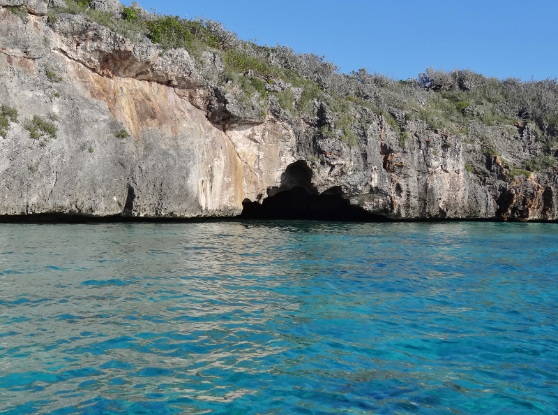
Our timing through the cut was close to slack but with SE at 11kts the cut was benign; always much appreciated. We weren’t sure what to expect at the anchorages but figured maybe 6-8 max. Imagine our surprise at the many masts sticking up above the tree line as we came around the northern tip, dropping the main and turning toward the looking-more-full-by-the-moment anchoring areas. Found out that yesterday being the first Friday in Feb… well it was time for the Farmers Cay First Friday in February Festival, or 5F to we locals. 🙂 176 anchored boats were counted early Saturday in and near Little Farmers Cay. Thanks to the great weather before, during and after, the festival must have enjoyed near-record attendance.
One chore needed to be done before we could spend the next three days immensely enjoying the beautiful, calm, pure Bahamas days about to appear. The threads holding the zipper down the length of the stack pack had given their lives to the sun and more sewing was needed there as well as patches on a few holes near the front where the fabric just beats itself up flapping about. Not exactly well designed.
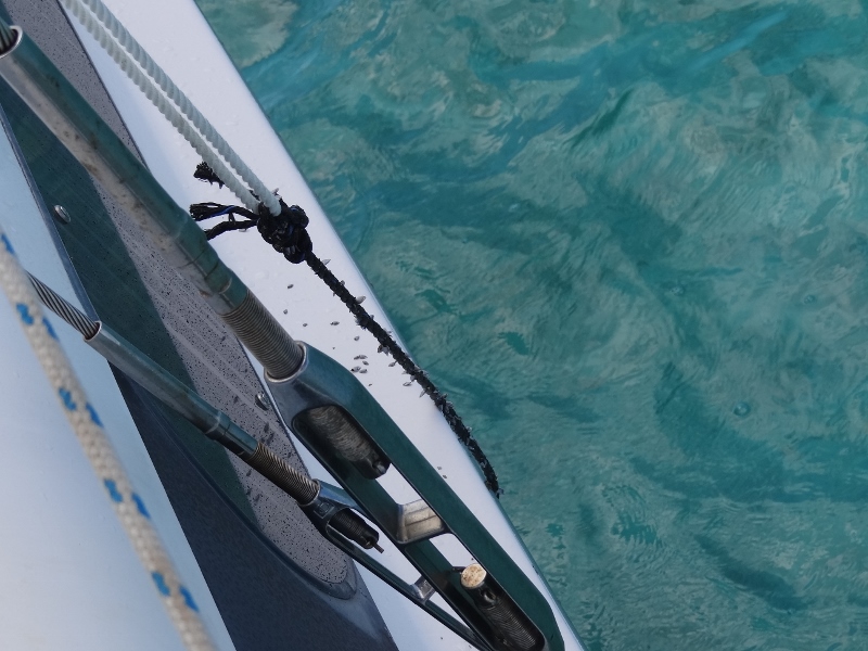
About 10ft long and loaded with tiny shells along its length- it stunk
So we worked on that for 30 mins and then Russ noticed a 3/8” black line floating in the water about mid-ship under the starboard hull; we could see just a foot or so of it floating next to the boat. Humm. Here’s my version: Russ thought the line might be attached to something, maybe an old mooring or something heavy sitting 8ft down with a line on it. When we made our approach to anchor I was watching at the bow to be sure we dropped anchor in a sandy spot and I did not see anything in the water. Of course, I could not be 100% sure- but 95% anyway. I suggested we use the boat hook to try and pick it up and see what happens. That idea was rejected. A short time after we spotted the line, a slight wind shift moved us and what do you know but the line was still under the starboard hull in the same spot. So now I am adamant that this line is not in the sand but somehow attached to our hull, like a remora. More of the line seemed visible so I retrieved the boat hook and was able to lift up enough of the line so Russ could grab it. At that moment I realized, and Russ did too, that the line must have gotten wedged into the dagger board trunk on our trip from Cat.
Moving the board up and down didn’t dislodge it; pulling on it from on deck or in the water didn’t work, but the next day we managed to pull it out with the dinghy. Well that’s a first. Trying to fish and we snag an old line; at least it didn’t find its way into a prop.
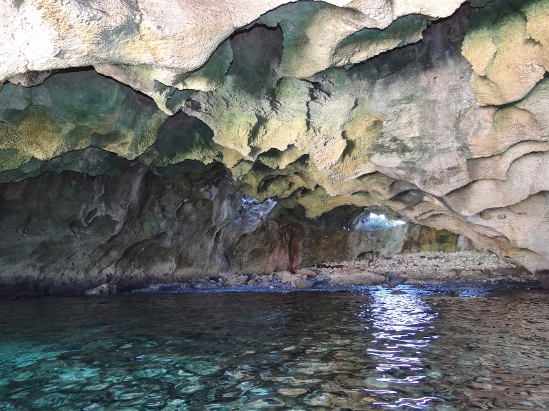
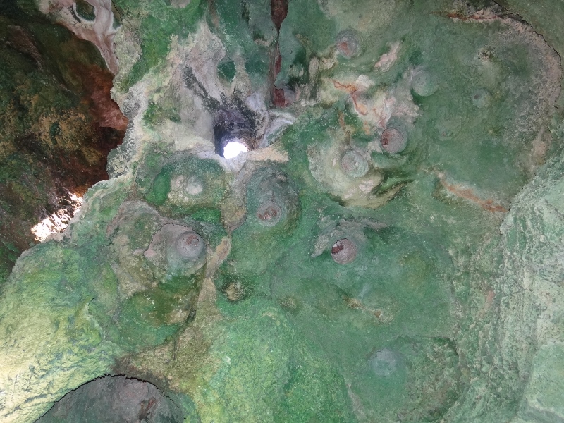
Two years ago we stopped here and spent time hiking around and taking the trail up to Perry’s Peak- the highest hill in the Exumas. But today was perfect for Driving Ms Bunting around the beaches and shoreline of Lee Stocking Island.
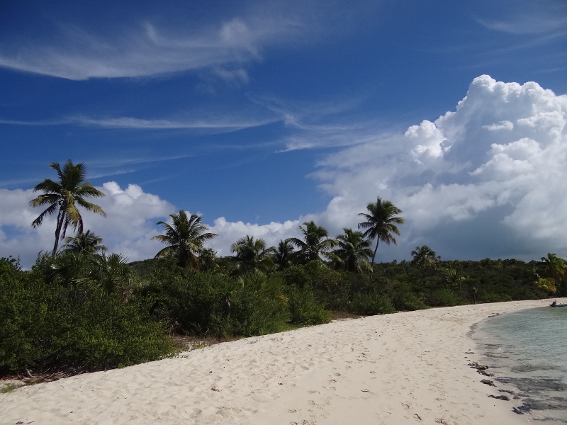
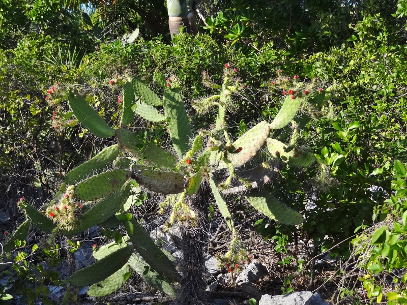
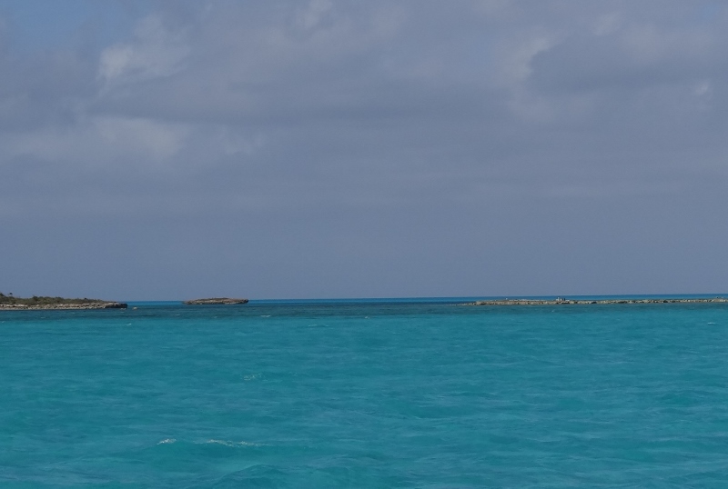
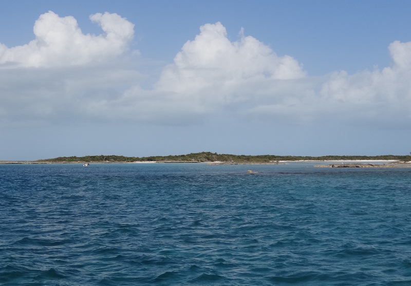
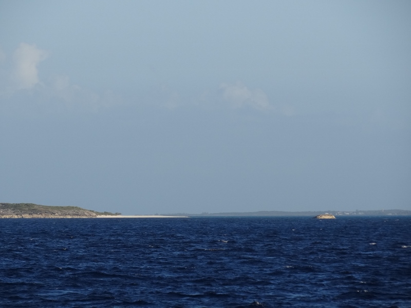
So many beaches, so much blue sky and white puffy clouds
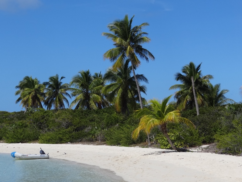
Loved the look of the curved palm tree
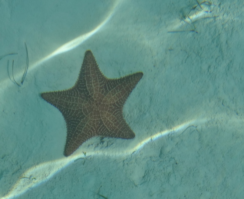
Down close to Williams Bay we spied a large stingray and as we headed slowly back, we started seeing one after the other, most resting in a few inches of sand. Sea stars were even more abundant and easier to photograph, but lacked the visual appeal of the stingrays.
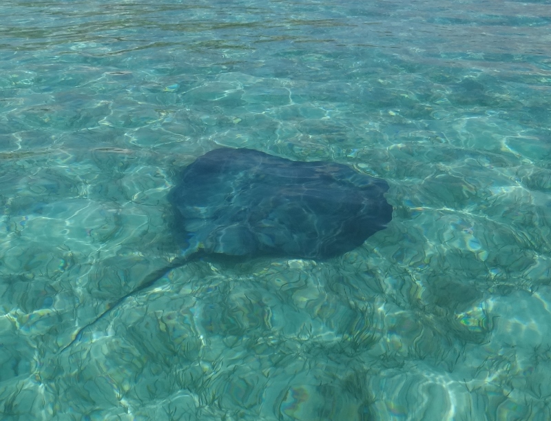
So clear you’d think we used an underwater camera
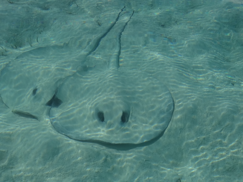
Snuggle stingrays look like ghosts in sand
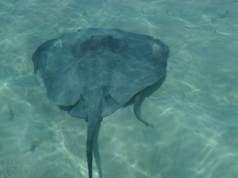
This stingray had a remora friend along for the ride

Isn’t this one nearly invisible?
We planned to head for Rudder Cut Cay around 2pm to catch high tide through the Pimlicos which are a banks route for shallow draft vessels like us. As usual, we engaged in our typical tide discussion first. 🙂