Broken record time again. Have you wondered how much longer we can say that and others will understand? “Repeat” just doesn’t cut it. So, another cold front is due while we’re in St Augustine; winds over 20kts, clocking around, rain, blah, blah, blah. As I may have mentioned last fall, the St Augustine is not a “class A” all weather inlet. Even though it was dredged summer 2012, the buoys used to mark the channel are so small you need a damn good spyglass to find them buried in the 3-story high waves that routinely reside there- well ok not that bad- but almost. Many a boat has not only been grounded, but wrecked attempting to use this inlet in less than good conditions. On Friday, a large well-lit sign (if one existed) would have read, “DO NOT USE.” No worry we’d ever use it again except in mirror glass conditions!
Saturday, and this will lead into a big pet peeve of mine- maybe it bugs others too- we planned a very short day. Our next stop was just across the GA border at the southern end of Cumberland Island by the Dungeness ruins. Dungeness is pronounced with a slight accent on the “ness”, not the “Dun”. This trip was a bit too long for one day so we split it in two with the short day first in an attempt to travel longer with favorable currents. That morning the Coast Guard makes one of their mumbled announcements and we catch a few words, “Sister’s Creek, closed to traffic, 3pm.” Uh? Another befuddled cruiser calls the CG for clarification and we learn that thanks to some “round up” event, the ICW will in fact be closed to boat traffic until 3pm Saturday. Well, thank goodness we’d planned a two-hour day and wouldn’t be going that far. Then, when we finally hear the announcement in full, the time is given as “from 5pm to 3pm.” Idiots- we know they mean 5am! If English was not our first language those announcements would surely be completely Greek!
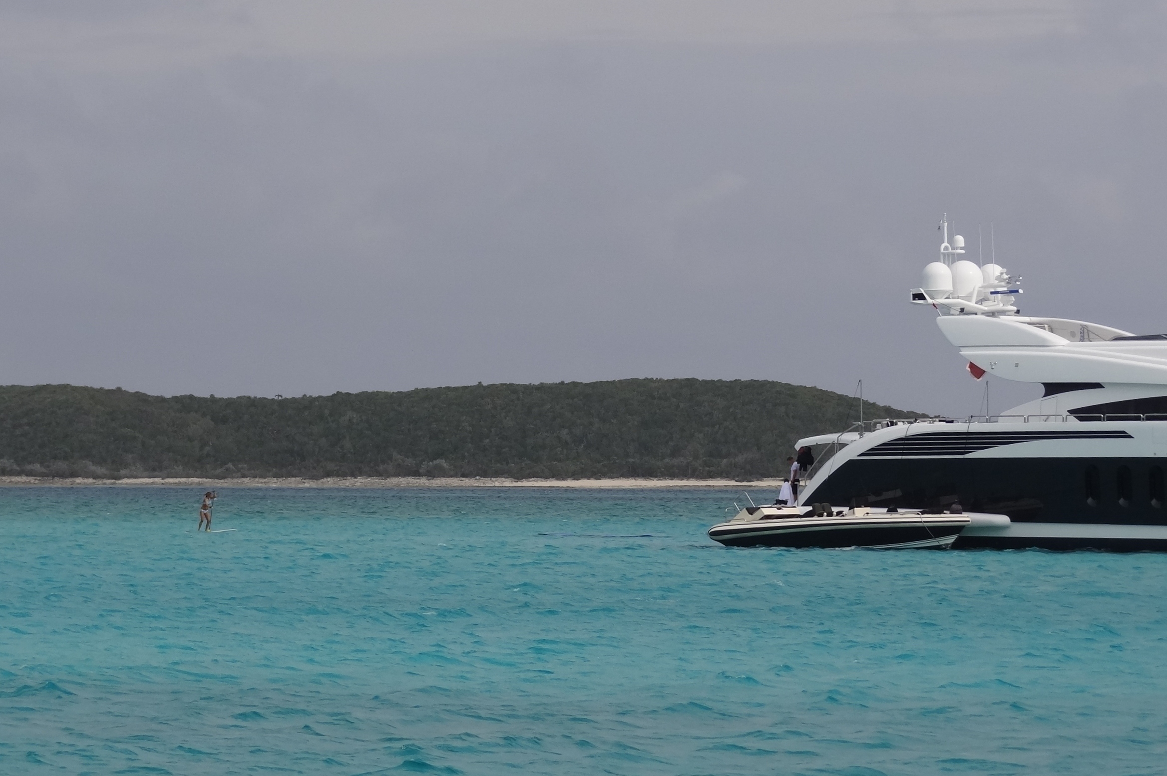
The ICW through St Augustine takes you uncomfortably close to the inlet and the spit of beach that sits at the head on the north side. As we approached, this is the site we couldn’t help but stare at. What the? Mr. Curious got the “rest of the story” later.

On the plus side, sand is kinder to a boat than rocks
Seems like the boat with just the captain and his dog aboard, was traveling (not sure north or south, but I’m thinking north) in his 30’ sailboat that only had an outboard engine at the stern. This means that if a wave lifts the stern out, the outboard doesn’t work well. Props like to remain IN the water. He diverted to St Augustine at midnight (Wed/Thurs) due to the approaching front. A pitch-dark approach may have been a worse choice than continuing to St John’s River 30miles north. The channel, just to make things more exciting, has a dog leg approach close to shore. What are the chances this boat could safely navigate in? He almost made it. As the boat hit bottom and bounced, the beach welcomed it with open arms. Sure hope he got dug out.
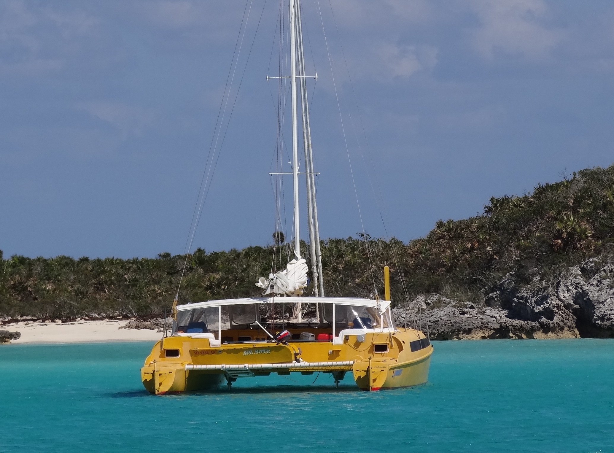
For several days we’d been in touch with Indigo. They were in crossing and zooming mode starting Easter Sunday. Shared itineraries, but my words were, “..think we are fated to only meet up once per season.” Saturday’s anchorage was Pine Island with a wide and not too deep creek just off the ICW. By dark four boats called it home. Sunday, we overslept a bit and when I did my usual iPhone checking of emails and weather, the cell signal was too weak so I gave up. Cereal in bowls, milk about to be poured. Russ points out a catamaran heading north. “They must have left early”, I comment, figuring most boats leave from St Augustine. Then, picking up that trusty spyglass, Russ says, “looks like a Chris White… oh wait, it’s Indigo!” Sure enough, those speed demons did 100 miles Saturday, arriving at St Augustine in time to go into town. Glenn had emailed earlier, asking if we were at Pine Island, but I hadn’t gotten it yet, so instead we had a pleasant surprise and kicked fate in the butt. By 10:30 they’d arrived at their destination marina near Jacksonville; flying home that afternoon. Sure, leave us to enjoy the skinny water south of Fernandina.

Indigo drops by to say hello. Until next season then.
Unlike m/v BIG Wave, we managed to not go aground in the stretch between St John’s River and Fernandina. Unlike m/v BIG Wave, we use ActiveCaptain. We shouldn’t be so smug though. For our trip on Sunday, Russ figured out the tides and currents, which isn’t easy due to the three sizable inlets that would affect us. Since we’re not usually in a rush, we run on one engine to save fuel. Using number two adds 1 knot of speed at most, so when possible we like to have a favorable current helping us along, but not too much. A stretch south of where the ICW crosses the St John’s River is notorious for very strong current at “maximum”. Kinda like NYC’s Hell Gate, except under a bridge with a very narrow span with a river bend that keeps you from seeing if another boat is approaching. Amounts to choosing the lesser of two weevils (yes, I used that word intentionally); the crappy stretch from Fernandina to St Augustine via the ICW or the offshore run where the St Mary’s inlet at Fernandina is great and St Augustine can suck. We are 3 times inside and 3 times outside.
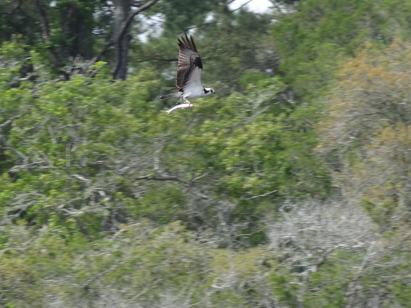
The trip provided photo-worthy scenery like this osprey with fish
So back to the tides and currents: A+ on the currents and D- on having us transit a much shoaled-in stretch at low tide. Mucho thanks to ActiveCaptain and the hazard markers that warned us and told us how to proceed; to the vessels ahead of us; and to our minimal 3ft draft. With a tidal range of 6-7ft from roughly the St John’s River through much of South Carolina, the absence of deep draft boats is as noticeable as is the presence of comments such as, “gee how’d you like that Amelia River stretch?” In all fairness to the captain, we really didn’t have much choice in where we were and when that day and s/v Cat Ching (get it?) zoomed along fine using his path from last fall. Cheater 🙂
4:30 found us anchored in GA off Cumberland Island, ready for a perfect weather day Monday where we’d finally explore the Dungeness ruins and trails.