North to Sarasota

Once to the west coast of Florida & Cayo Costa, we continued north approximately 50 miles to Sarasota.  Rather than going offshore (into the Gulf of Mexico) there is an inland route all of the way.  It was fairly well marked & deep enough, but very busy with other boats.  Florida has one of the highest percentage of boat ownership in the U.S.  We have learned to avoid travel on sunny weekends.

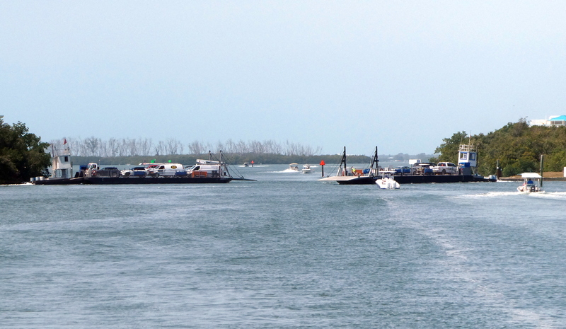
There are a pair of ferries crossing the waterway to Palm Island. Several little boats were playing “chicken” zooming past, not wanting to be delayed for even a few seconds.

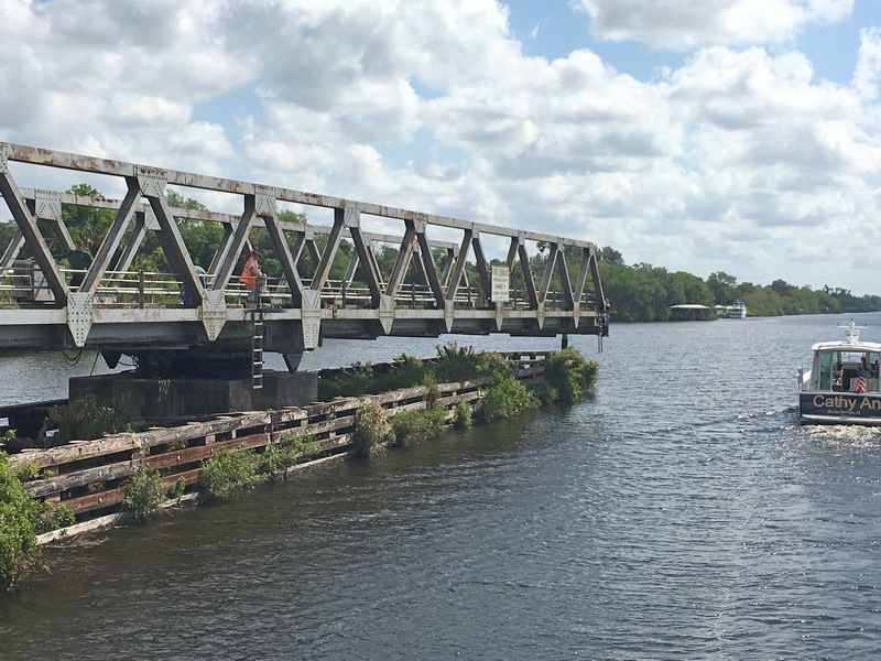
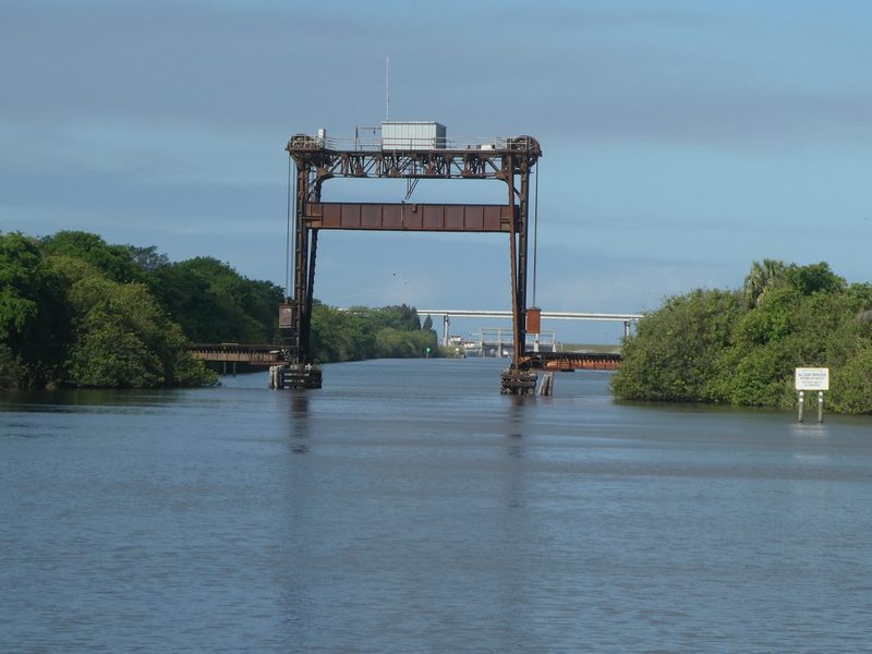
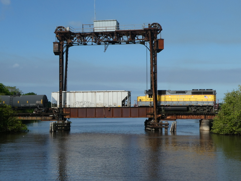
While this bridge tender has a nice building near the roadway, he/she (in the orange vest) must walk out onto the bridge to operate it. That’s nothing compared to a bridge on the “rim route” of Lake Okeechobee (which we didn’t take) in which the bridge tender has to go out & manually crank open the bridge!

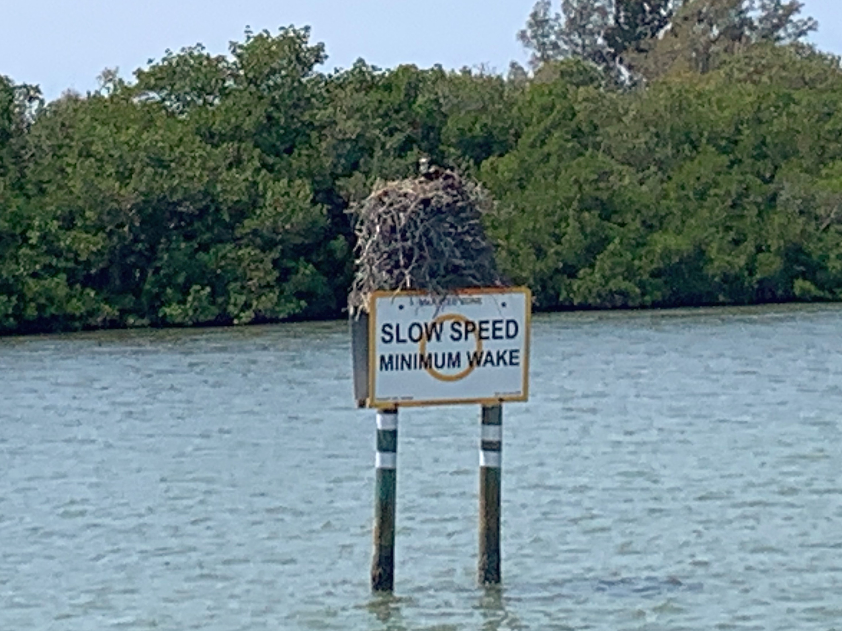
This osprey has built a mighty nest!

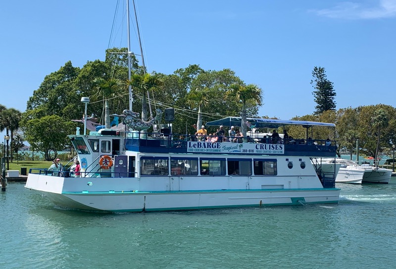
Ahhh … Sarasota at the Marina Jack. All sorts of tourist cruises & activities. There was a constant parade of boats going past our slip including dozens of small boat club rentals. We were last here on our sailing catamaran in 2011.

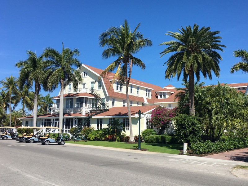
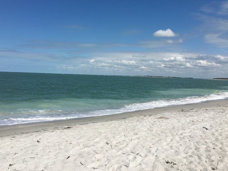
Beautiful Gasparilla Island. We also stopped here in 2011 & loved the fact there were more golf carts than cars & one of the most scenic bike paths, built on an old railway bed. It was nice to see they haven’t changed the colorful street names: Damficare, Damfiwill, Damfino.

Among the highlights of our trip was to enjoy a fabulous evening shoreside at a friends house on Longboat Key.  We had met Tom & Kathy at a Barefoot Man concert at Nippers in the Abacos several years ago & it was great to be guests at their beautiful home!  It was also amazing to be driven around the island to see the many changes from when my parents had lived there in the ’80’s.

On our way back south past Fort Myers, we were also invited to the home of cruising friends & fellow PDQ owners David & Barb, who also entertained us for the evening at their lovely home which even had a great dock for us to stay at!

Time to head back across Florida.  While we had planned on spending a few more days on the west coast, a cold front is forecasted with high winds for several days which would make Lake Okeechobee very choppy.


Across Florida – East to West

While you may be able to drive a car across Florida in less than 3 hours, it takes a long 3 days to cross by boat via the Okeechobee Waterway.  A total of 179 nautical miles, 5 locks & 1 massive lake!

Lori – don’t look now!  It’s difficult to see in this photo, but there is a 14′ wall of water gushing in! Unlike other locks we’ve used on our way up to Lake Champlain which mostly change level via underwater pipes, these simply crack open the gates. Going up, you can cleat the lines & carefully bring in the slack.  Going down you must carefully keep a only a partial wrap, continually letting the line out. If the line were to jam, serious damage will occur ripping out cleats or even rolling your boat.

Ahhhh… so peaceful on the other side after passing thru.

This RR lift bridge prevents larger sailboats from using this route as it only raises to 49′. However sailboats with masts up to around 55′ can hire a local service which meets you at the bridge lining one side deck with a row of plastic barrels they fill with water heeling your boat enough to sneak under!  Lots of YouTube videos showing the process.

Approaching this bridge & thinking it looks lower than 49′ I suddenly noticed it’s lowering! It lowers so quietly & slowly that I couldn’t even tell.  Later on I noticed a VERY dim red flashing light only visible when nearly at the bridge. Florida is REALLY big on freight trains – many routes have trains every few minutes.

This is the last lock before Lake Okeechobee. From here it’s 25 miles of open water across.
This a sample view of repairs to the 143 miles long Hubert Hoover Dike consisting of levees, hurricane gates & various water control structures surrounding the lake.  Begun in 1930 it is continually expanded & improved with an often conflicting mix of goals.  Originally built to save lives during hurricanes (in 1926 & 1928 flash flooding from hurricanes killed over 2,500 people), it also controls water levels for agriculture.  In recent years, much controversy surrounds the sensitivity of water flow to surrounding estuaries, red tide & other ecological impacts reaching all the way to both coasts & down into the Everglades.
The beach at the Cayo Costa State Park (we’re anchored in a protected cove on the other side). In a few days we’ll continue north to Sarasota.