Another year, another few more feet sunk in
Mother Nature has blessed us with pleasant cruising weather, more so than average and we have moved right along at a low fuel consuming pace. Wed Nov 4 we crossed into South Carolina on a day with rain and T-storms forecasted but never materialized along the coastline.
Now about that bridge. Warning, I am about to rant. Well maybe not that bad but unless you are a boater/cruiser, you may think I am making a lake out of a puddle! On Tuesday we called Osprey Marina in Myrtle Beach to book space for Wed and were told that the Socastee Swing Bridge 2 miles north of the marina had broken overnight and was not opening. Oh, we didn’t hear any Coast Guard announcement about that, ummm maybe Charleston sector was doing that, but for all of us southbound and still in NC we heard zilch. So I posted a comment on the Active Captain FB Group and that prompted a couple informative replies and a hazard mark got placed before the bridge noting the current status.
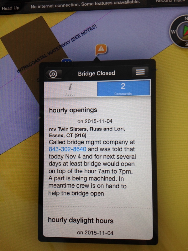
Socastee Bridge -our note in ActiveCaptain
Wed would be a long (9hrs, 68 nm) day to Osprey and we needed to know if the bridge would open or not. We booked a spot at a marina 20 miles north just in case but we really wanted to get to Osprey and fill up at $2/gal for diesel.
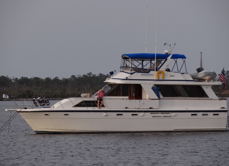
Thanks to Ann on Traveling Soul you can see us departing Carolina Beach
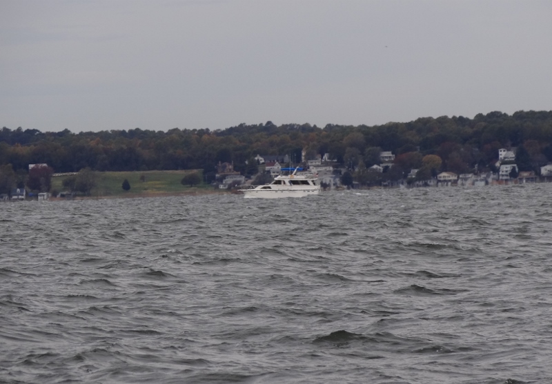
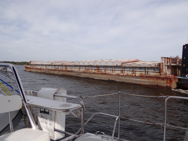
We left Carolina Beach with a favorable current down the Cape Fear River and passed through the recently dredged but re-shoaling Lockwoods Folly and Shallotte inlets at mid-tide. Still, no announcements heard on CH 16, switch to 22 from the CG. We knew the bridge which is normally on request, was opening on the top of the hour between 7am and 7pm with crew assistance. Once we weren’t seeing any contradictory info, we cancelled Barefoot Marina and booked at Osprey, planning to catch the 5pm opening.
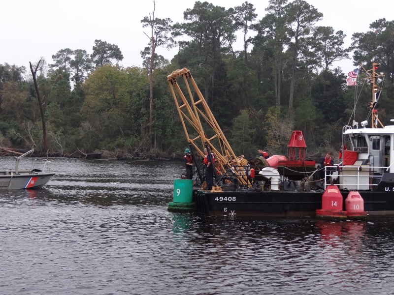
Buoy work yay! Maybe they will put some where they are sorely needed.
Trust but verify is my motto and I remembered that the bridge info for this particular one included a phone number to call if boaters had complaints about the bridge. So I called and after two more calls, I reached the right person at the company who manages the opening bridges. He confirmed the opening schedule, was concerned that announcements weren’t being heard north into NC and explained that a part had to be machined (we figured that, I mean these bridges are old and you just don’t buy a replacement part at Ye Olde Parts Store) and the repair would take at least a few more days.
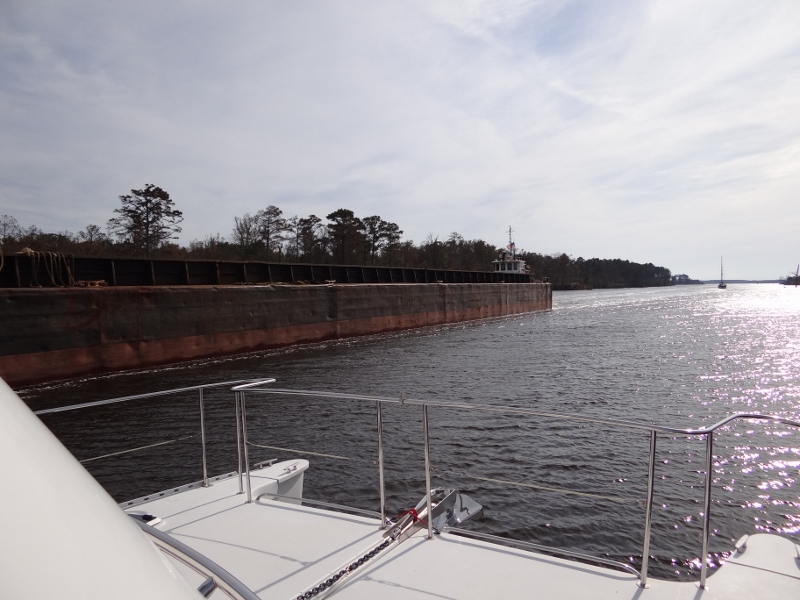
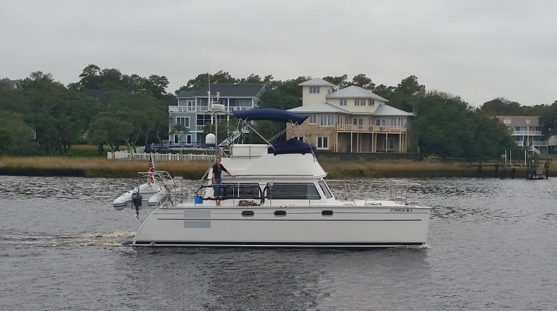
We vacillated on speeding up a bit to make the 4pm and in the end, with 40 mins to go and a flat calm stretch ahead, we burnt off some carbon and got to the bridge with 5 mins to spare, joining 4 others waiting.
Socastee Swing- opens at 4pm for the hopeful 5
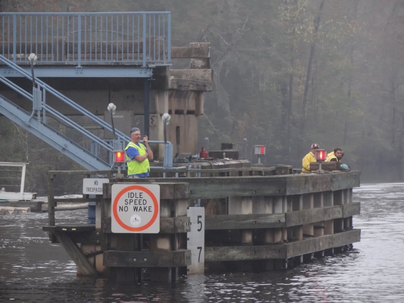
The bridge assist crew stands by
Fueling up we learned that a pin broke and a crew was using a come-along to help the bridge open and then re-align with the road when closed. A good pin was removed and used as a model to have a new one made. Finally at 5pm at the marina, we heard Charleston make an announcement but it was just included with weather, etc stuff. Ok, done. Sorry, but seems the Coasties haven’t smartened up much in two years.
The other reason to get to Osprey Wed night, besides cheap fuel (other prices in SC were $2.40+) was to have a short day Thursday to Georgetown where we wanted to spend the day.
Although the rain had passed, the winds were low and- uh oh that means fog. Not dense here but we heard from you-know-who up at Carolina Beach that the fog was very dense there.

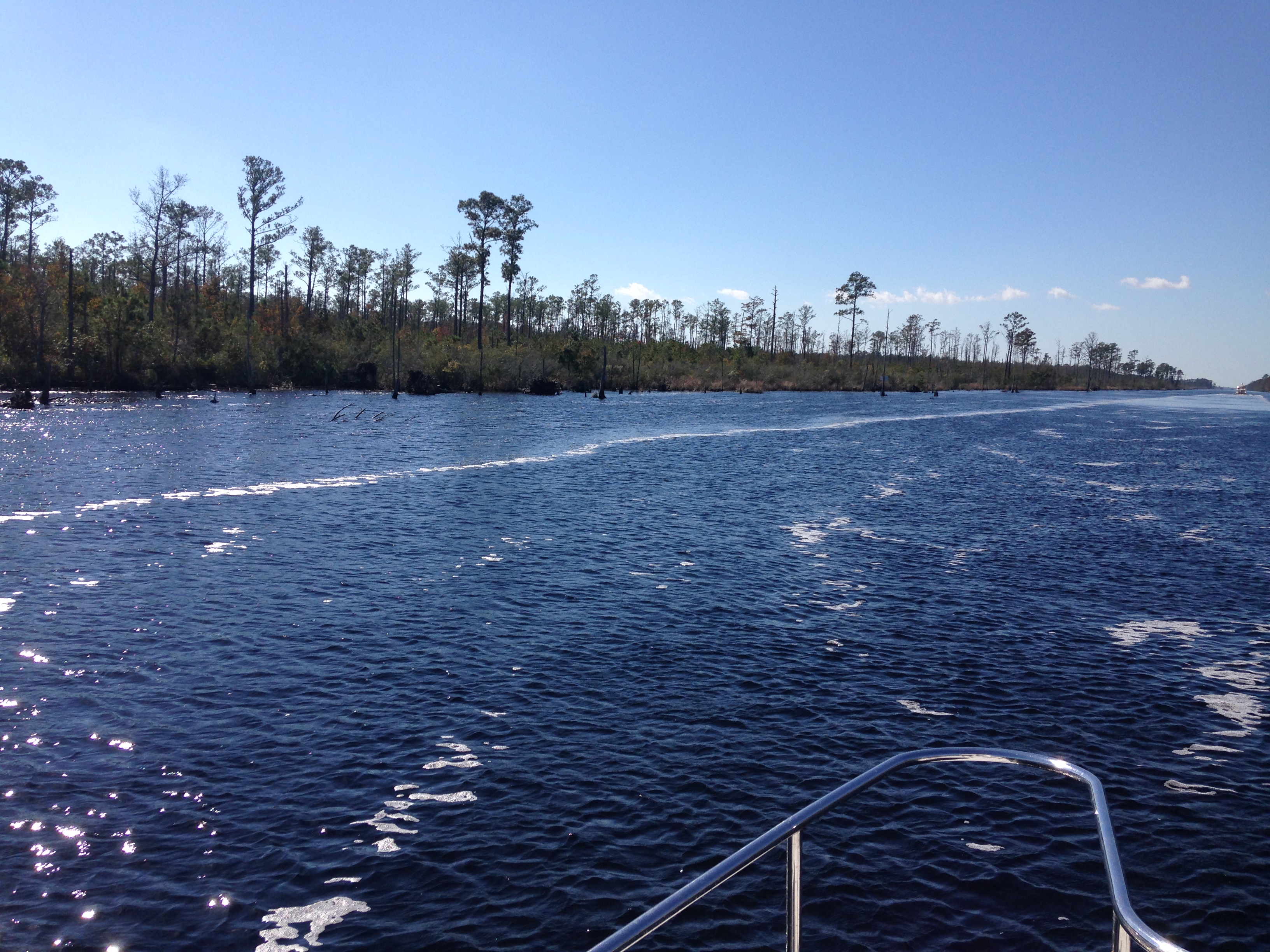
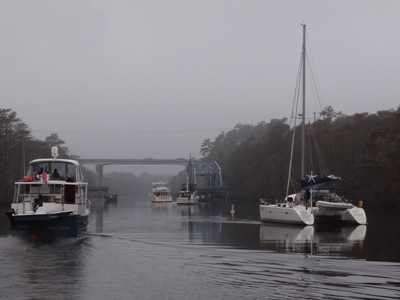
The always scenic Waccamaw River
The Waccamaw is one of my favorite places, especially in spring when the osprey are nesting. Today was overcast, 71 degrees, low wind and we moved along at 9kts at only 1,800 rpm with decent current assist.
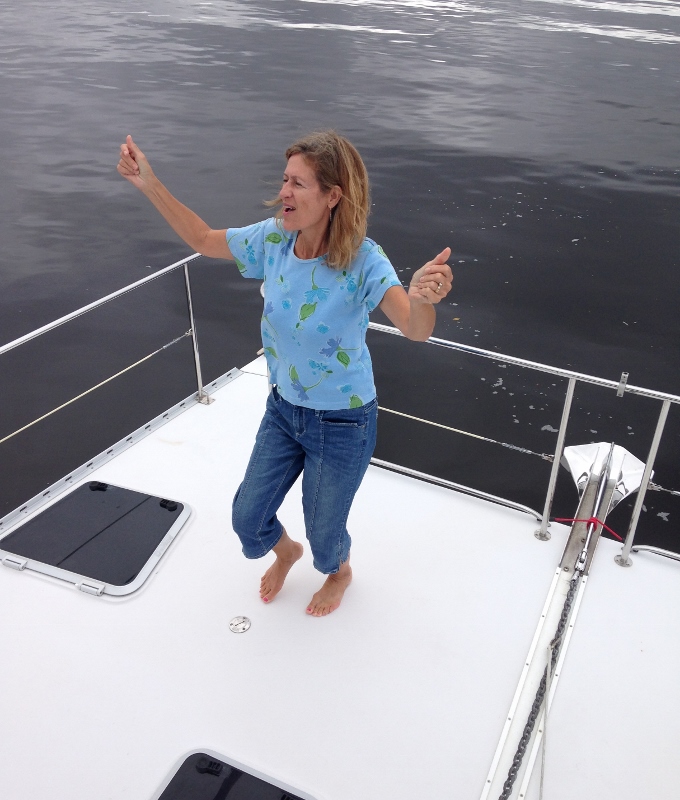
“Honey, I’m Good”! Enjoying the ride down the Waccamaw with music from the flybridge
We like Georgetown. We especially like Independent Seafood and I was happy we could stop and fill our freezer with shrimp, crab cakes and salmon. The Red Store Warehouse sits in front of Independent Seafood, closer to the main road (Front St) while as you would imagine, the fish place is at the water’s edge.

Empty a couple of years ago, now with two artisan tenants. A perfect fit for a grand old brick building
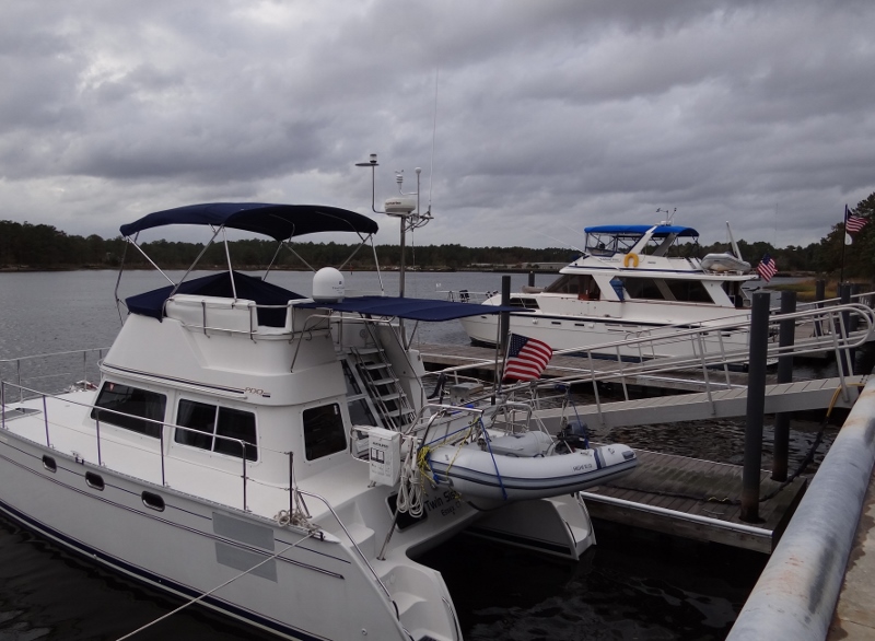
At the marina large trawlers surrounded us; a 1998 Fleming m/v Bee Haven in front of us on the face dock. While I finished up laundry, Russ had been chatting with her owners and next thing I know we are getting a tour of this stately vessel; remote-controlled shades, trash compactor, dumb-waiter and all!! At 60ft long you could get lost within her four levels, but I think we have the better dinghy. 🙂
Repeating myself certainly, but after Georgetown lies the 60 mile stretch to Charleston Harbor, much of it through the Cape Romain Wildlife Refuge. Not every trip yields postcard-worthy photos but the scenery is lovely and a bald eagle can always be spotted. If you are lucky you might spot a gator, but the one we saw in Georgetown before we left was photo-worthy.
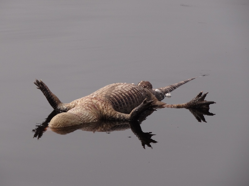
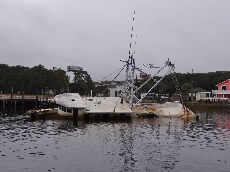
Very dead, very bloated as he floated by with the ebb tide past the marinas
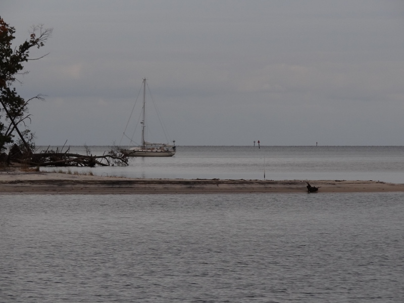
Friday found Twin Sisters anchored in a creek just one hour shy of Saturday’s destination, Charleston Maritime Center. We passed many sails throughout the day (had a nice chat with s/v Circe II from our home area) but as we approached Inlet Creek, the only boat ahead turned in and AIS indicated at least one other. So what’s the problem? Creek too small? No. But we had to anchor either before (close to the ICW) or past them with a hazard mark warning of an unknown snag problem with the end result one poor boat needed a diver to get them un-snagged. Let’s avoid that shall we?
The Captain had warned that if we had to anchor at all close to the hazard he was going to use the old anchor that we still had tucked away in a bow locker. I voted (more like pleaded) for dropping the shiny hook before the other boats but Russ would have none of that. So he turned the flybridge helm over to his trusty albeit nervous Admiral to motor slowly in, past the anchored boats, wave nicely, maintain position, then spin around and slowly head for the middle of the creek. While I am doing this, he dives into the locker, brings up anchor and rode and rigs up a way to drop it in, bring it to center and put on a bridle once the anchor has set. Thank goodness for very low wind and since I’d handled the helm like this, oh maybe 2 or 3 times, sure, no sweat. The throttles are smooth as glass and a pleasure to use and with the help of eyeballs and a zoomed-in chart view we managed to anchor dead center. All good, right? But looked how “well” we did :
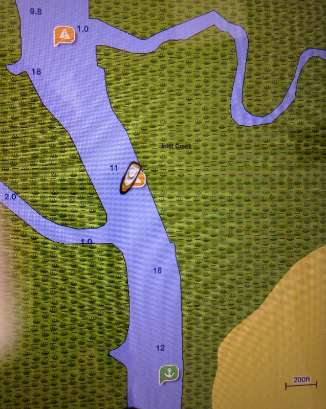
We nailed the hazard mark! Using the old anchor hopefully ensured it would raise up fine Sat a.m.
For those not familiar with all this electronic chart stuff and what integrates with what, or not. Let me explain our situation; others will differ. We have a 10-yr-old Raymarine chartplotter/radar screen; call it what you will. In its day, it was darn top of the line. On Ortolan we had newer Garmin instruments, which we liked better but are getting accustomed to old Ray. 🙂 On our new (to us) iPad we use Garmin BlueChart that supports ActiveCaptain, an online cruising guide and then some!
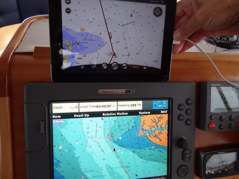
Compare iPad to Raymarine- the iPad screen and chart view is sharper and easier to look at
So we can see ourselves on the Raymarine screens (lower and upper helm), but we only have one iPad and right now it doesn’t have a protective case nor a mounting bracket to place it by the helm. When anchoring today, the iPad with ActiveCaptain and therefore showing the hazard marks, etc sat safe inside at the “master” helm but I was operating from the bridge.
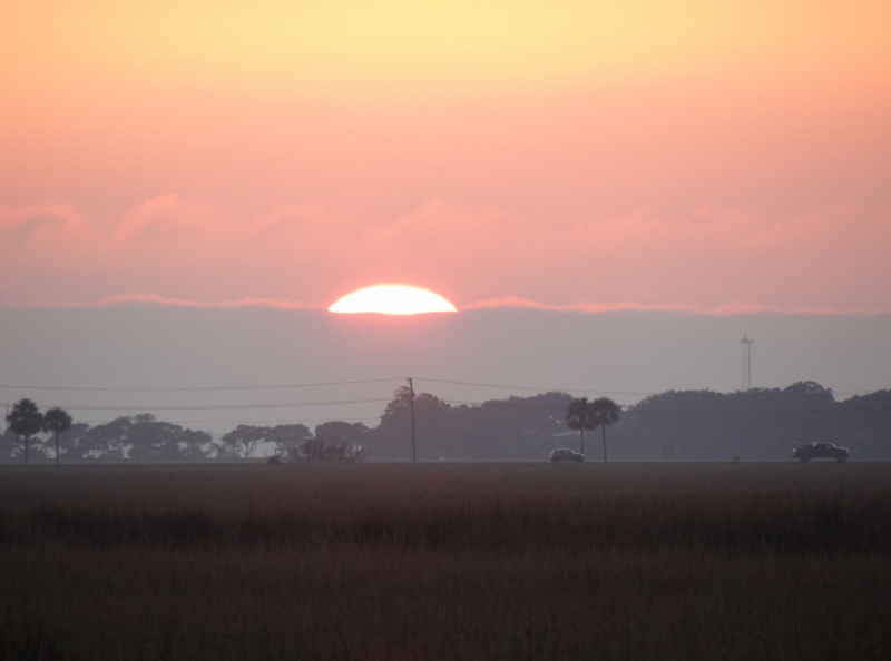
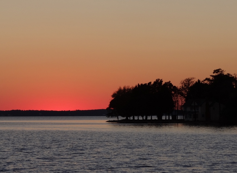
Layers of sunset over Charleston
A beautiful ending to a pleasant day, but then the grill wouldn’t start and the mosquitoes swarmed and well, we stayed inside.