From the Chesapeake Bay, we shot across the 15 mile-long C & D Canal (with a 3 knot current going our way!), then down a smooth Delaware River arriving to Cape May, NJ without much drama (some trips have been very memorable!). Fortunately our good weather window held up so we could continue offshore the next morning to NYC.
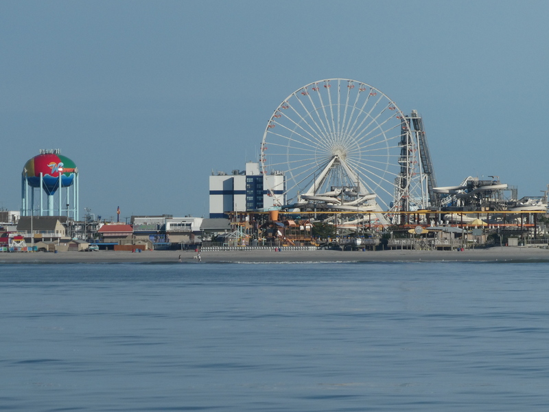 If you’ve ever been to Wildwood, NJ, this is the view from offshore. Notice the flat seas. Unfortunately no whale sightings – a couple of years ago we spotted a whale feeding right off a nearby beach.
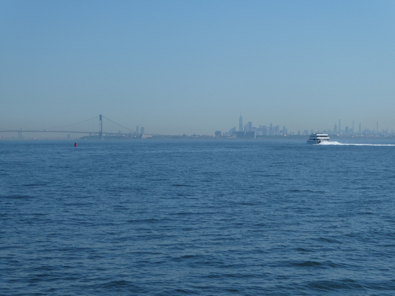
Two different hazy skyline views of NYC. This first one is looking north towards the Verrazzano Bridge approaching from Lower Bay, as if coming in from offshore.

This one is nearly the opposite view, looking west back at the city from Long Island Sound.
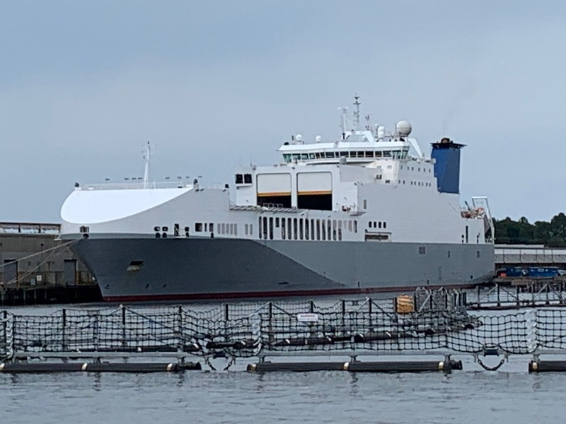
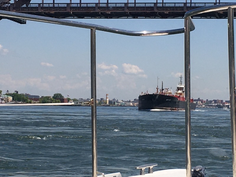 In-between is the East River, including “Hell Gate” with it’s up-to 4 knot current. We planned to have the current with us, but unfortunately nailed the max current at 11:37 AM. While it’s nice to have that much current with you, the turbulence was a bit too much, bouncing us up & down as if on a bucking bronco. Then (of course) we encountered a large ship around a curve at the narrowest bridge opening! Does the water looking boiling? This is nothin’! Hell Gate used to be a canyon of irregular rock causing MUCH worse turbulence. By the late 19th century, hundreds of ships had been lost, resulting in the Army Corp of Engineers performing massive blasting & rock removal operations which continued for 70 years. Not until 1876 was it finally considered safe to transit in all conditions.
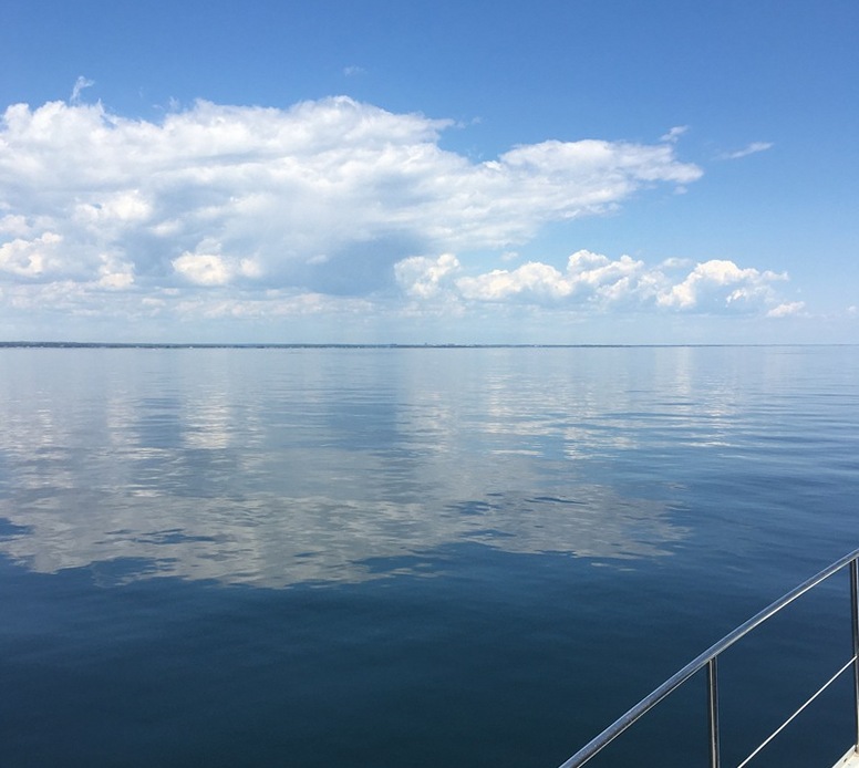 I’m not sure Long Island Sound could ever be any flatter than this.
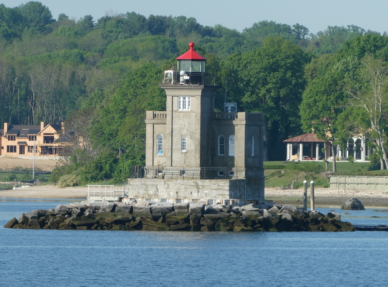 Every lighthouse has a story. This one in Huntington Harbor, Long Island, NY is fairly new, completed in 1912, replacing a series of nearby ones from the mid-1800’s. It is unique in both it’s Venetian Renaissance “castle” style as well as it’s construction. It was the first lighthouse in the U.S. to have the “crib” of a foundation built on land, floated out, sunk, then filled with concrete.
Not sure we need more laws & regulations, 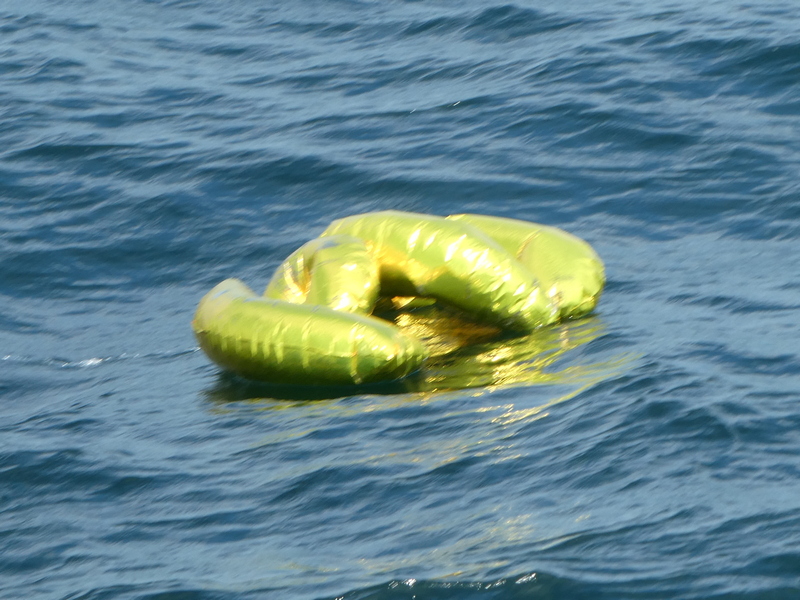 but it would be nice if people could resist releasing Mylar balloons into the air during every celebration. As we know, everything which goes up, must come down. In just 2 days in NY & CT, we saw nearly a hundred balloons floating in the water! Really, really bad for every creature from turtles, to ducks, to fish over many years as they slowly deflate, breaking down into millions of tiny particles.
After our customary overnite stop at the peaceful Hamburg Cove in Lyme, CT, we’re now safely at our marina in Deep River for a month or so. As always, our plans are in flux, but our rough plan is to leave just after the 4th of July weekend craziness for Block Island, the Vineyard, thru the Cape Cod Canal, the Boston area & continuing northward for a few weeks in Maine.