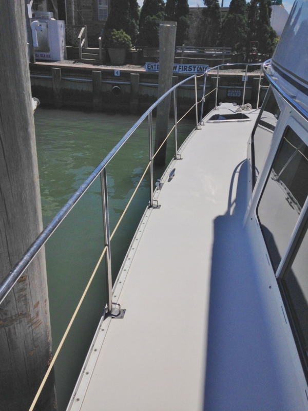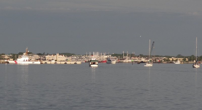
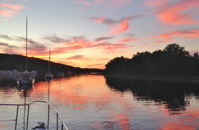
As we left the anchorage I turned back and took this shot.
We headed out very early Wednesday, greeted by a most benign Mother Ocean. I got goose bumps knowing home turf was within our grasp… and we weren’t out of food! My celery had rotted though. (inside joke).
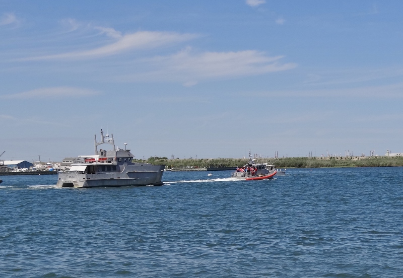
Others had left on their own pre-determined schedule; the faster (than us) yachts get to sleep in.
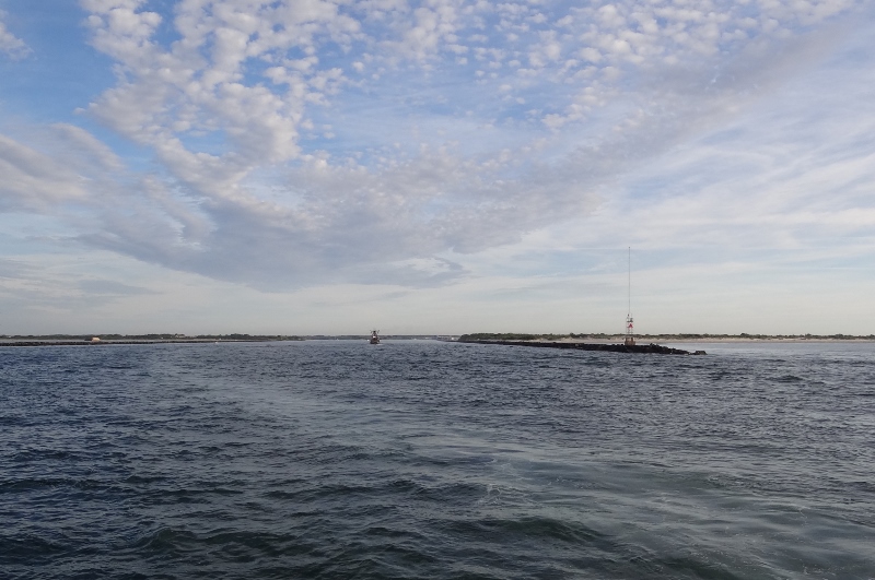
Looking back as we pass the ends of the jetties at the Cape May ocean inlet
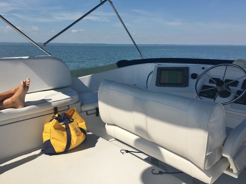
You may observe how smooth and calm the water is; imagine our happy, happy faces and thoughts.
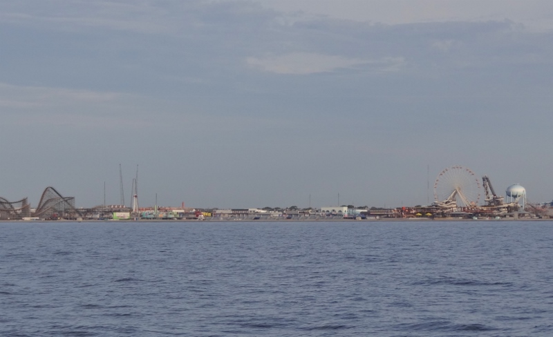
Wildwood’s famous boardwalk and wow rides. We are about one mile off the shore.
Oh look, the delights of Atlantic City. :-). Time to play your Trump card, if you have one.
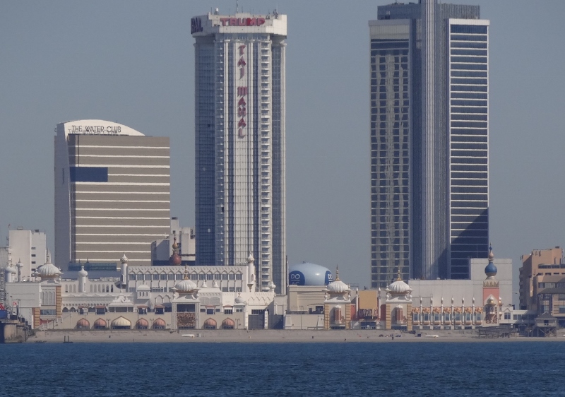
Trump Taj Mahal
Somewhere north of Asbury Park, after I’d foolishly put the camera inside, a very noticeable splash occurred near shore off our port side (that would “left” side for you landlubbers). Maybe my eye saw more than registered but I instantly thought “whale” because the splash was too big for a fish. But I said (don’t laugh), “sewer” to Russ because the chart showed drainage pipes emptying into the water and well, maybe this was a big spurt. Ok, not, but Russ kinda bought it. Of course I kept looking and the undeniable truth was, yes a whale. Slapping his/her tail to make the fishies school only to be gobbled up.
So that explains the whale watching boats we saw in Cape May and along the NJ coast north of Atlantic City. Turns out they are Humpback Whales who come in very close to the beach to feed. Only our second whale sighting ever; the first being a few miles off the New Hampshire coast in Ortolan, summer 2014.
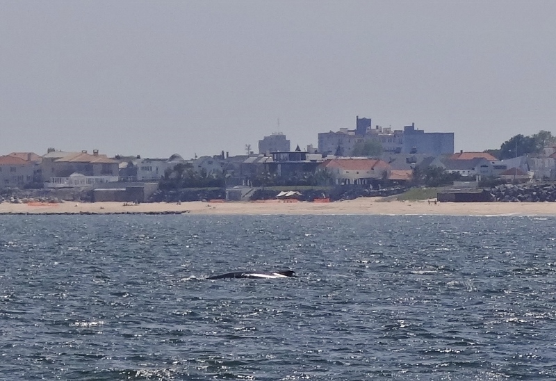
Humpback whale feeds close to shore. It was closer to the beach than we were to it.
The New Jersey coast is long, as is its seaside history. So many unusual structures kept us interested.
We’d read that sand was collecting at a rapid rate on Sandy Hook, which meant that the Coasties needed to move the channel buoys so the big ships wouldn’t run aground. But is must be a big deal for the electronic chart guys to show the actual channel correctly between the buoys; just nudge it over a bit guys. We came in near high tide; the photo below probably would have looked more impressive at low tide.
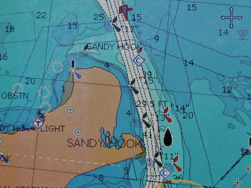
Buoys moved but not the channel depicted on chart
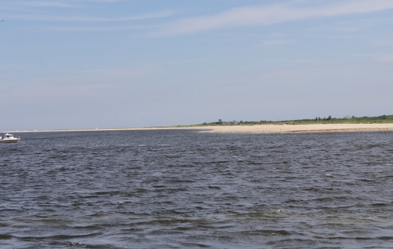
Rounding Sandy Hook- beach at the hook growing more each year.
A brisk southerly wind encouraged us to alter our anchoring spot for the night and we headed toward the protection of the Atlantic Highlands rather than hang more exposed by the CG Station.
Thursday morning brought a light shower which ended before we left- ah you know we like to run from up top and pouring rain would mean driving from inside.
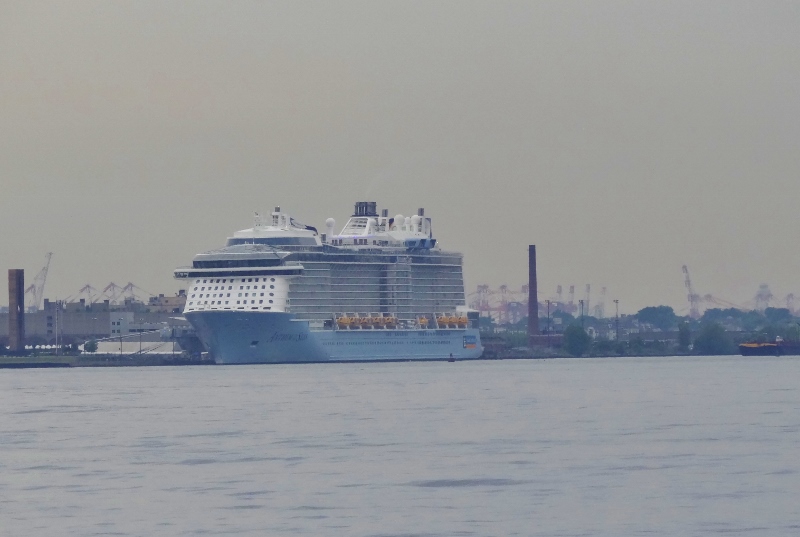
Full speed ahead through the Lower & Upper Bays and into NY Harbor, waving to Ms Liberty, gagging at the monstrous cruise ship and hitting Hell Gate before the current got too strong against us. Done with that by 8:30 meant a very quiet trip, in terms of other vessels. Dreary yes, but NYC is always impressive even though we’ve done this ten times. We just aren’t quite as awed and intimidated as the first couple of times.
U G L Y
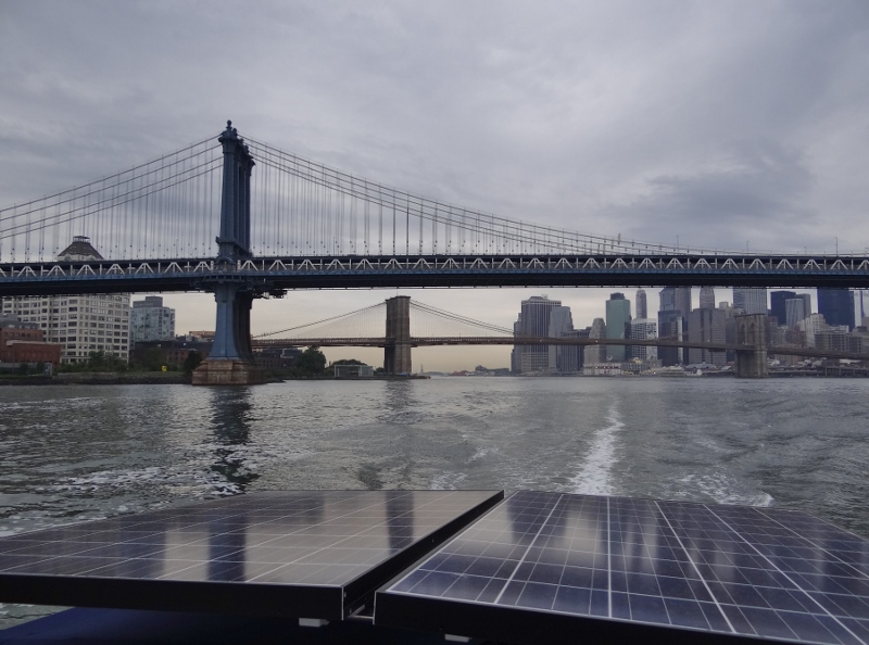
Dreary yes, but a classic East River scene is a delight
The protected East River can be deceiving once you get into Long Island Sound. If the forecast wasn’t “Light & Variable” it should have been and since it was we decided to go farther than Guilford and tuck in at Duck Island off Westbrook. This would leave us a very short trip to our final destination.
Who’s driving the boat?
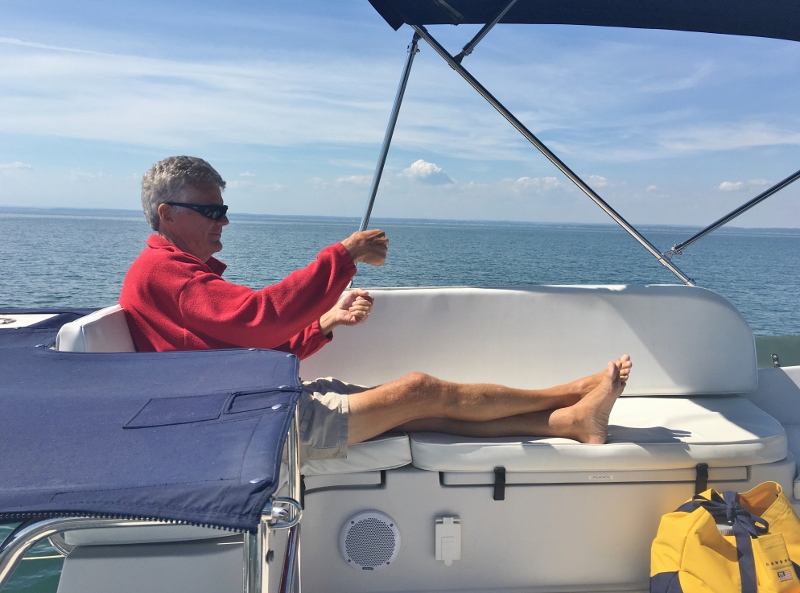
Why, the Captain is.
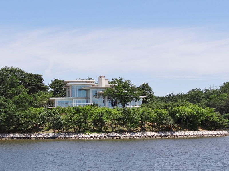
On the water you are hard pressed to miss the former Castle Inn at Cornfield Point. This grand, stone manse with a bright orange roof looming over Long Island Sound and the shingled cottages that surround it was originally built as a private summer home and its many lives are generally well-known to area residents. I found a very recent Hartford Courant article and lifted some good info from it.
The current owners did what many dream of; drive around, spot a beauty, fall in love and buy it. This was in 2006 and the grand building was for sale. But, others had designs on the castle, and there was talk of tearing it down to build waterfront condos. Several million-dollar homes had recently been built close by.
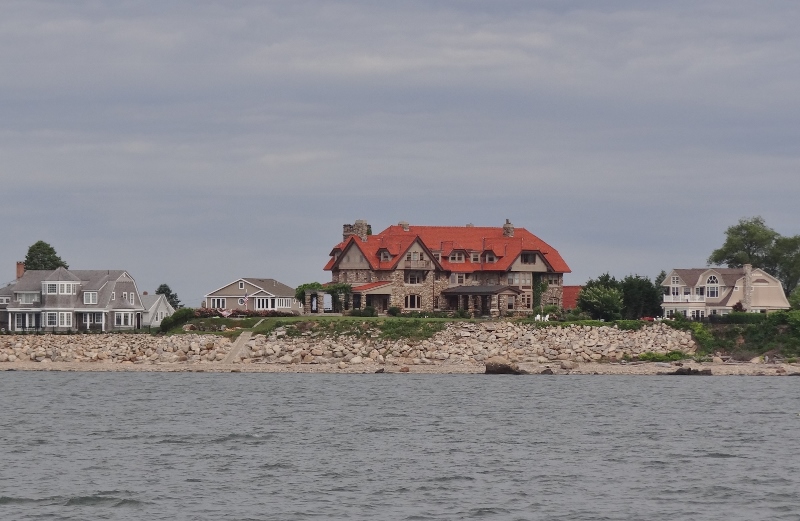
Cornfield Pt- Castle Inn now a private home
Luckily for Old Saybrook the new owners wished to preserve the structure and worked for a year and a half, restoring it into a spectacular home that they share with the community, celebrating its storied history.
Designed to look like a Newport, R.I., mansion, the “summer house” was built on open farmland using local stones by insurance millionaire George Jarvis Beach and his wife, Elizabeth, niece of Samuel Colt, the gun manufacturer. Completed in 1908, the estate was named Hartlands, after Gen. William Hart, a relative of Elizabeth’s and former owner of the property.
Maintaining the huge home proved to be a financial burden so Beach leased the building and surrounding property to the military during World War I.
After Beach died, Gilbert Pratt of New York City bought the property and sold much of the surrounding 400 acres to developers, who transformed the area into a neighborhood of beach cottages.
In 1923, Otto Lindbergh, the uncle of aviator Charles Lindbergh, bought the castle and turned the private residence into Ye Castle Inn, an upscale hotel and restaurant that often hosted well-known actors starring in performances at the nearby Ivoryton Playhouse, including Ethel Barrymore, Helen Hayes, Clark Gable and Charlie Chaplin. During Prohibition, the Lindberghs reportedly spearheaded a rum-running business from the shores of Connecticut to Long Island’s Montauk Point.
After the Lindbergh era, the castle became a popular site for weddings, banquets, brunch and dinner, until the early 1990s when it shut down and fell into disrepair.
Of course we know the place, Russ’s sister was married there (before my time), had a baby shower there (during my time) and the Mother’s Day I was pregnant we brought my parents for brunch.
It’s not uncommon for folks to stop by, wedding photo in hand, looking to revisit their special memories. Hey, we could do that.
“How touching is that?” asks the current owner, who regularly invites members of the community into the castle. “We have this philosophy. Just like with the ocean, it doesn’t belong to one person. It kind of belongs to everybody.”
Home, home on our mooring. Projects begin tomorrow! (not my idea)
So true.