
This beautiful island nestled in the Far Bahamas is described in our Explorer Chartbook as”…paradise within paradise in that it is preserved in its primitive natural state as part of the Bahamas National Trust. As more “armadas” of boats escape for a sojourn from the fleet at Elizabeth Harbor and discover the beauty….” The island lays 15nm NE from the tip of Long Island and 50nm from Elizabeth Harbor. The only anchorage in prevailing easterlies (NE – SE) is West Bay and it can hold a generous quantity of boats. Your typical cruising vessel is not the only creature to be drawn in by the magnetic pull of remoteness, crystalline waters, mangrove creeks and long-tailed tropic birds. We were very surprised to find two mega yachts and a stealth-like dark-colored boat the likes you might see in a Bond movie or a futuristic flick. Kinda ruined the primitive natural paradise view of things; until they all departed.

It’s a stealth machine, but what’s it doing in paradise?
The island is perfect for dinghy exploration with miles of interior mangrove creeks to poke around in and simply lose oneself in Mother Nature’s beauty.

We diverted off the central creek to this crystal clear branch
West Bay faces a long, sandy white crescent beach, ideal for a beach stroll, tented beach party (if you own a mega yacht) and to land your dinghy anywhere you so desire.
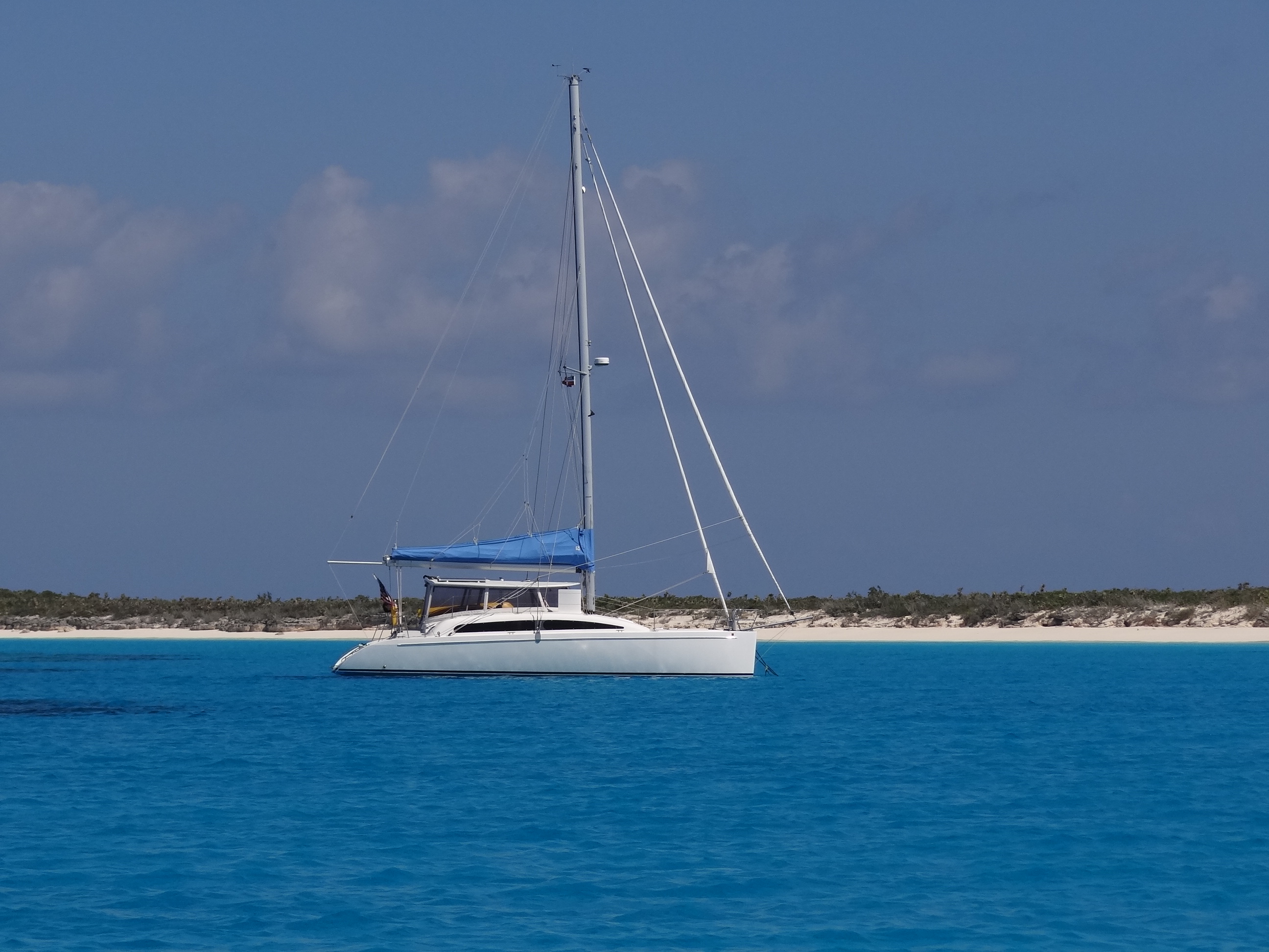
Ortolan anchored in gorgeous West Bay, Conception Island
The day held true to forecast and Ortolan and crew enjoyed a lovely sail at 6kts, two fishing lines out but no bites even though we altered course through the contour lines north of Long Island. About two miles out the watermaker began her job and made us a steady 7 gph for a few hours. That’s our usual M.O. when we can’t run it underway. Have I mentioned we really like our watermaker and don’t see how other cruisers manage without one? Even though we can’t always make water when we want, having the ability to and not having to rely solely on marinas or local water spigots, is a huge plus and allows us more flexibility in planning our itinerary.
Thursday morning we launched the dinghy, checked the anchor like a responsible boater should – heck it’s easy in clear water, impossible when we are not in the Bahamas – and zoomed along the 1 ¼ miles to the mangrove creek entrance.
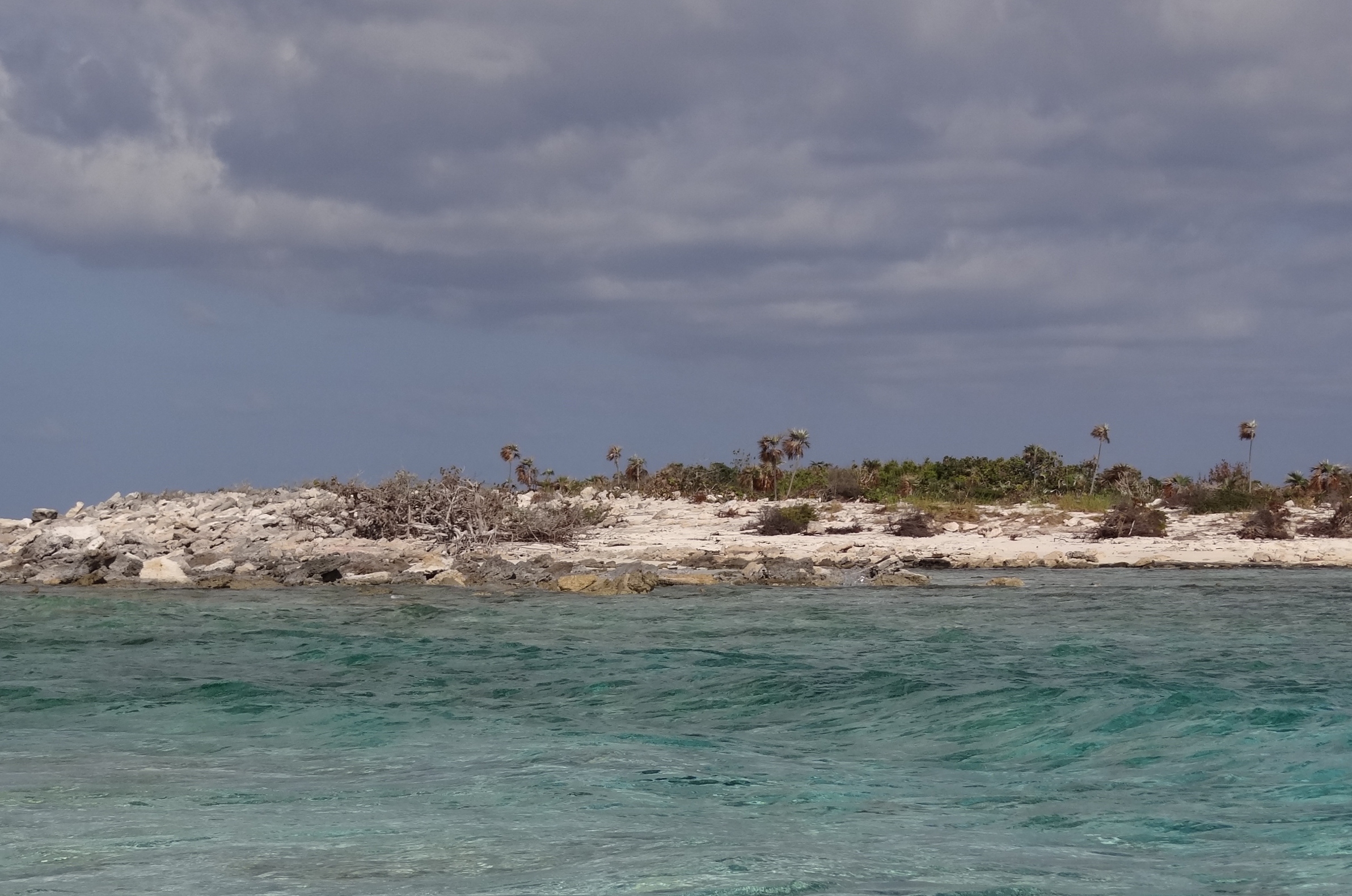
Just inside the entrance to the interior of Conception Island
Much of the interior creeks are deep enough to dinghy through any time, but the entrance as well as a few important stretches are best attempted within a couple of hours of high tide. This assumes you know when the tides change. Perhaps I’ll delve into that hot topic another time.
Top priority was to get in and find the green turtle area. A reviewer on ActiveCaptain gave good directions, saying that once in the lagoon one needs to follow the left branch into the deep green section. That sounded simple enough and we only almost messed up once! Sure enough toward the dead-end section to the left, the water was much deeper and greener; best of all, filled with at least a dozen green turtles. Shy ones though and they don’t give you much time to photograph them. We drifted and paddled; using the outboard just enough to keep us off the rocks. One guy was more curious, or just not paying attention because twice he surfaced within 10ft of our bow, looked up at us and dove back down. As if to say, “hey I see you and no you can’t take my picture, so there!” And right he was, but I did manage to track another and caught him as he surfaced.

My best green turtle shot. Good thing the camera is digital!
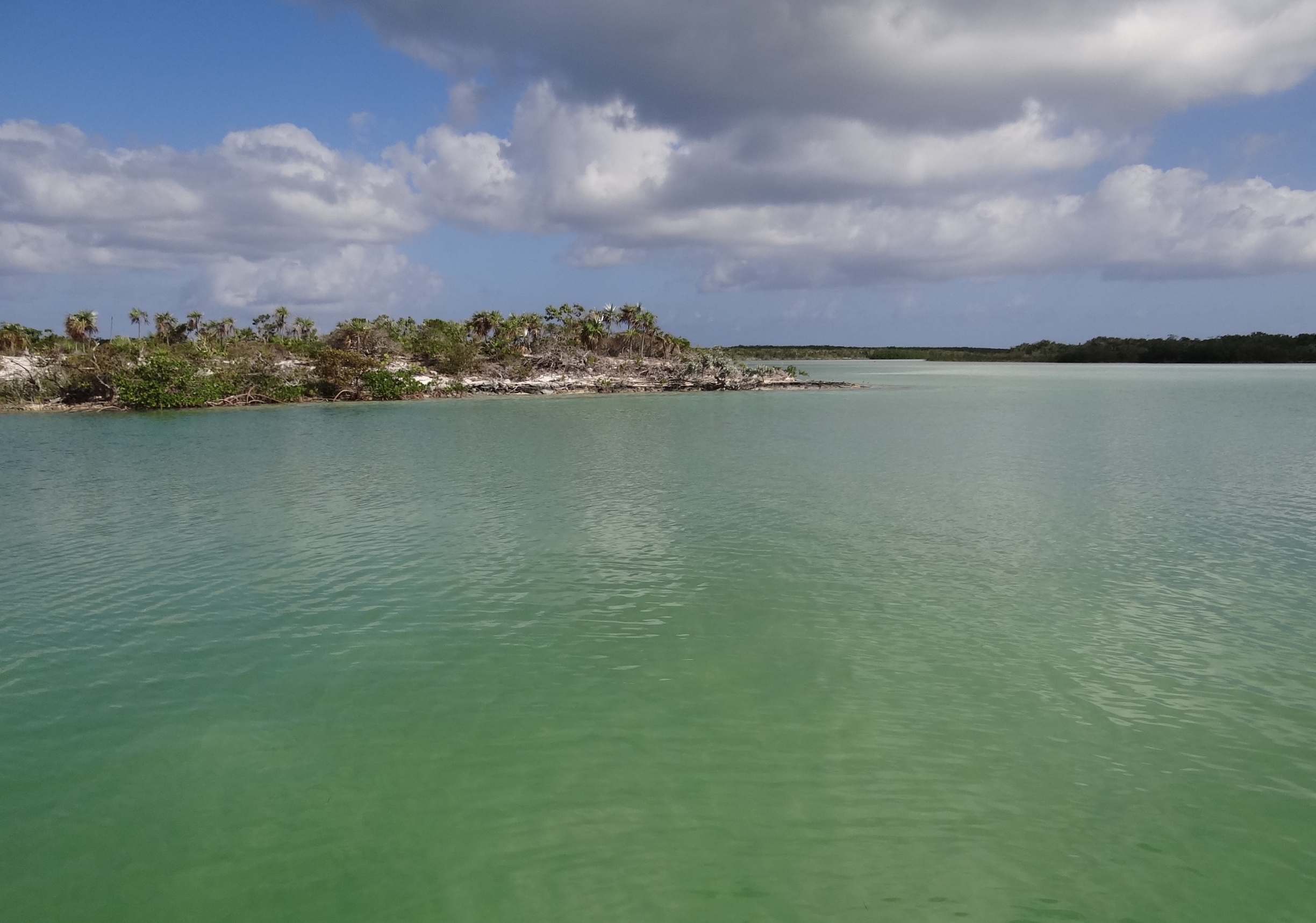
Green turtle hangout territory
A better weather day I could not have wanted; sunny with a high of 80 and just enough breeze to keep me comfortable but not so much that I felt windblown. Another piece of info gleaned from ActiveCaptain was how to get to Babbies Bay over on the ocean side. Now, our chart showed nothing called Babbies Bay but the directions appeared to guide you to a lovely crescent beach that would be ripe for finding sea beans.
Two teeny problems. One, Russ twists his knee as we pull the dinghy up on to the beach. (sure sounds like we need a better method, uh?) Solution: he goes back to ice his knee, leaving me to beachcomb. Second problem: the beach I am on after I cross from West Bay beach to the ocean side, is NOT Babbies Beach. As I get to the southern end of the beach #1 I see that a path continues up some rocks (with a rope for help up) and that must lead to Babbies Beach. (could that be a made up name?) Solution: have water, camera, Tevas- will hike. Yes, me alone. Another dinghy was beached near ours and I didn’t see anyone nearby so I figured they’d trekked to Babbies and maybe I wouldn’t be totally alone. (wrong)
The path pretty much wound its way close to the edge of the rocky cliffs and one wrong step and I’d be history; a broken shell on the stones below. In places it moved far enough away from the edge and for that I was very happy. Around every bend I hoped to see “the beach.” Alas no. After a bit I got to a section where the path was simply the rocky edge, very crumbly and most assuredly one wrong step and I’d be a goner. With someone, maybe. Alone, no way. The land past there jutted out just enough to prevent my seeing what lay beyond- that darn beach I bet! Hopes dashed- but not my body thankfully, I made my way back-stopping to snap a few photos and thinking I was getting too much sun!
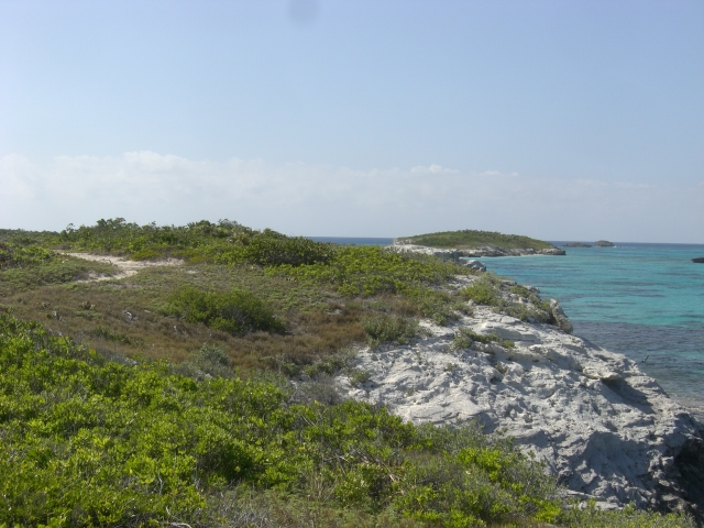
Heading back north along the path less traveled- by me!
Fortunately, the beachcombing goddess “Seabenia” took pity on me and I easily found several beans and one curious sand crab who didn’t know or care about the time.
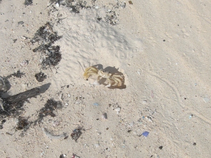
Wasn’t easy to get this guy and not my shadow too.
Russ’s knee was not a major disaster- thank goodness, or we’d be in Florida now. I checked the chart and saw that my hike along the cliffs was at least one half mile. Maybe next time, if those rocks don’t crumble more…

I stand corrected. I just went back and checked our photos. This was definitely not the boat we saw in Annapolis. The one we saw had a somewhat comparable look to it but it was obviously a military vessel.
LikeLike
No worries. I was thinking was really something if you had seen it, given it may be the only one (or nearly) and what are the chances? At least the photo checking got you away from sewing projects for a bit 🙂
LikeLike
The “stealth boat” is the Wally 118. It uses 15 gallons of diesel to travel 1 mile.
LikeLike
Wow, thanks for that Ernie. I see it was for sale in 2011 for $18.2 million. I have an other photo of it underway as we were exiting the mangrove creek; looked like it was flying over the water’s surface.
LikeLike
We saw that ‘stealth’ boat, or one just like it, when we were in Annapolis the summer of 2011. It is a strange craft indeed! I do miss the crystal clear water of the Bahamas. Your pictures remind me of just how beautiful it is.
Diana
LikeLike